
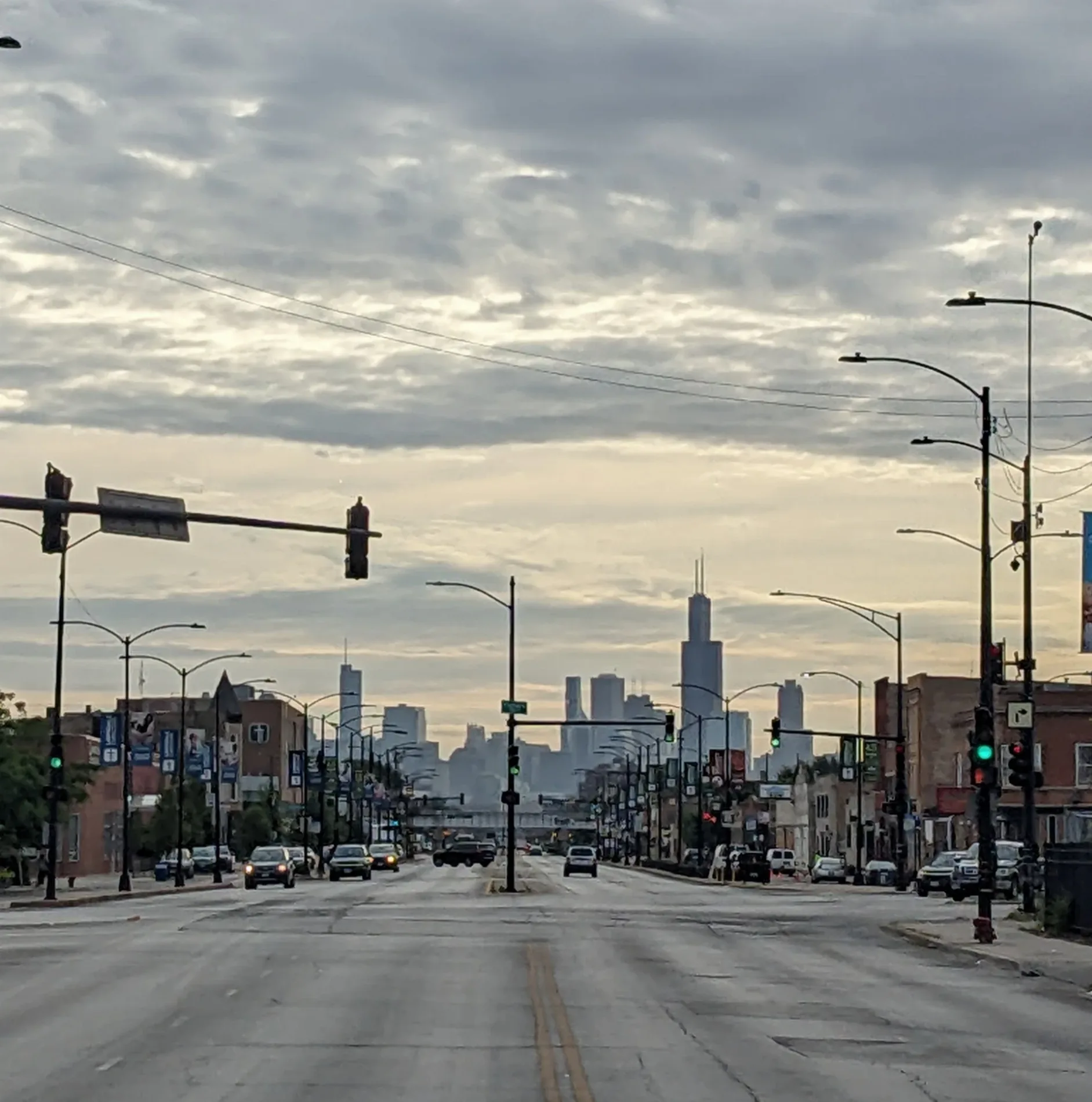
Ogden Avenue in Riverside, Illinois
Ogden Avenue in Riverside is a four-lane main road (Road number US 34) and runs in a northeast-southwest direction and crosses Miller Road, Lionel Road and Powell Avenue. This street is part of the highway "34". The nearest stops are Ogden & Hass, Ogden & Haas, Ogden & Pershing and Ogden & Powell/Lionel. The bus line 302 stops here. Ogden Avenue also exists in Hinsdale, Brookfield, Western Springs and Lyons. Ⓦ.
- Operator
- Illinois Department of Transportation
- Road Type
- main road
- Lanes
- 4
- Route
- northeast-southwest
Streets nearby
Haas Avenue450 ft
Miller Road450 ft
Lafayette Road500 ft
Lionel Road0.1 mi
Oakwood Avenue0.2 mi
Powell Avenue0.2 mi
Columbus Boulevard0.2 mi
39th StreetSubway, Alldent Dental, Wingstop, Boost Mobile
0.2 mi
40th Street0.3 mi
38th PlaceCricket Wireless
0.3 mi
Salt Creek GreenwayOgden & Shakespeare
0.3 mi
Shakespeare Avenue0.3 mi
Olmsted RoadHarlem & Olmsted
0.3 mi
Blackhawk Road0.3 mi
Salt Creek Greenway Black Paved TrailPrescotts Island, 4800 S Harlem Ave
0.3 mi
Pershing RoadPershing & Lombard, Pershing & Highland, Pershing & Ridgeland
0.3 mi
South Delaplaine Road0.3 mi
Gage Road0.3 mi
South Herbert Road0.3 mi
South Harlem AvenueHarlem & Cermak, The Vitamin Shoppe, Harlem & 26th Street, Harlem & Ogden, Loyola Medical Group - Multispecialty Riverside, 2275 S Harlem Ave, K&G Fashion Superstore, 2315 S Harlem Ave, Harlem & 25th Street, Harlem & 34th Street, Harlem & 32nd Street/Addison, Harlem & Burlington/Stanley (Metra)
0.4 mi
Washington Avenue0.4 mi
West Ogden AvenueEnterprise, Caliber Collision, Baskin-Robbins, Eva’s Beauty Salon, Dollar Tree, Little Caesars, Metro by T-Mobile, Windy City Dental Impants, Transfer MX
0.4 mi
Harris Road0.4 mi
Gladstone Avenue0.4 mi
Lawton Road0.4 mi
Bismark Street0.4 mi
Auto parts stores nearby
O'Reilly Auto Parts0.3 mi
Bars nearby
Bronze Eagle Pub0.1 mi
Cell phone stores nearby
T-Mobile0.3 mi
Convenience stores nearby
BP Shop0.3 mi
Covered areas nearby
Cermak Family Aquatic Center0.3 mi
Fast food restaurants nearby
White Fence Farm0.3 mi
White Castle0.4 mi
Popeyes0.4 mi
Gas stations nearby
Shell0.3 mi
BP0.3 mi
Amoco0.3 mi
Industrial buildings nearby
Riverside Public Works Department0.3 mi
Motels nearby
Plank Road Inn0.2 mi
Chicagoland Motel0.2 mi
Nature reserves nearby
White Eagle Woods North0.2 mi
Parks nearby
Robinson Park0.4 mi
Picnic areas nearby
White Eagle Woods Picnic Shelter Grove 10.1 mi
White Eagle Woods Picnic Shelter Grove 20.2 mi
Cermak Woods Picnic Shelter Grove 10.3 mi
Retail areas nearby
Pershing Plaza0.3 mi
Retail buildings nearby
Berwyn Fruit Market0.3 mi
Supermarkets nearby
Aldi0.2 mi
Waters nearby
Cermak Quarry0.3 mi
| Named after | William Butler Ogden |
|---|---|
| Located in | Chicago |
| Country | United States |
Public transit map Riverside Legend
| Railway | |
| Bus | |
| Streetcar |
Bicycle map Riverside Legend
| Bike path | |
| Bike lane on roadway | |
| Cycling allowed on bus lane | |
| Bicycle street | |
| Open to cyclists | |
| Open to cyclists, good path | |
| Cycling prohibited | |
| Cobblestone |
| Long-distance bike route | (depending on scale) | |
| Long-distance bike route |
Pedestrian map Riverside Legend
| Path |
| Long-distance hiking trail | (depending on scale) | |
| Long-distance hiking trail | ||
| Pedestrians prohibited |