
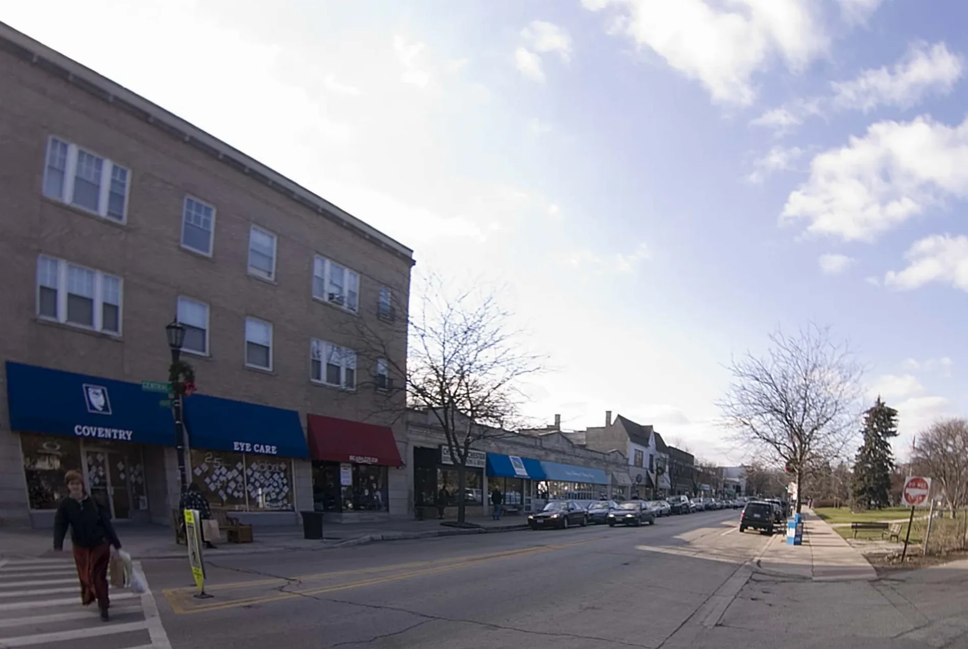
East Central Road in Maine Township, Illinois
East Central Road in Cook County is a three-lane secondary road. The street has bike paths (bike lane). It runs in an east-west direction and crosses North Emerson Street, North Albert Street, South Albert Street, South George Street, North Edward Street, South Edward Street, North Louis Street, South Louis Street, North William Street, South William Street, North Owen Street and South Owen Street. It ends in a cul-de-sac and connects Mount Prospect, Maine Township, Des Plaines, Elk Grove Township, Glenview and Northfield Township. Ⓦ.
- Road Type
- secondary road
- Lanes
- 3
- Route
- east-west
Image
Restaurants
Bus stops
Streets nearby
Country Lane450 ft
Teela Lane0.2 mi
Leslie Court0.2 mi
Tri-State TollwayGolf Road Toll Plaza, O'Hare Lake Building 2400, Touhy Avenue Toll Plaza, O'Hare Lake Building 2300
0.2 mi
Culver Street0.2 mi
North East River Road0.3 mi
Forest Place0.3 mi
Des Plaines River Trail Yellow UnpavedGolf & Bender, Big Bend Lake Trail Access
0.3 mi
Beck Lake Access Road0.3 mi
Linda Lane0.3 mi
Lyman AvenueLyman & Harrison, Lyman & Central, Lyman & Culver
0.3 mi
Oak Place0.4 mi
Zenith Drive0.4 mi
Holly Lane0.4 mi
Regency Drive0.4 mi
Oak Trails Road0.4 mi
Des Plaines River Trail Green Unpaved Spur (North)Beck Lake Trail Access
0.4 mi
Circle DriveOakton Community College
0.4 mi
Commercial Way0.4 mi
Meadow Lane0.4 mi
Di Paolo Circle0.4 mi
Central RoadCentral & Dearlove/Meadow, Central & Triumvera, Central & Dee
0.5 mi
Private Drive0.5 mi
East River Road0.5 mi
Williamsburg Court0.5 mi
Commercial Court0.5 mi
Dearlove RoadDearlove & Regency, Dearlove & Williamsburg, Dearlove & Essex, Dearlove & Cove
0.5 mi
Quincy bridge Lane0.6 mi
Harrison StreetHarrison & Potter, Harrison & Dee, Harrison & Meadow
0.6 mi
Dog parks nearby
Beck Lake Dog Park0.3 mi
Community Bark West0.5 mi
Industrial buildings nearby
Park & Facility Services-West0.3 mi
Parks nearby
Community Park West0.5 mi
Railways nearby
UP Milwaukee Subdivision0.2 mi
Residential areas nearby
Courtyards on the Park0.3 mi
Dearlove West Apartments0.6 mi
Sports fields nearby
Mustang0.3 mi
Bronco0.3 mi
Colt0.3 mi
Pony0.4 mi
Softball #50.4 mi
Soccer #100.5 mi
Soccer #90.5 mi
Soccer #70.5 mi
Soccer #80.5 mi
Softball #40.5 mi
Community Park West Skate Park0.6 mi
Softball #30.6 mi
Technical colleges nearby
Margaret Burke Lee Science and Health Careers Center0.4 mi
| Located in | Evanston |
|---|---|
| Country | United States |
 Public transit map Maine Township Legend
| Railway | |
| Bus | |
| Streetcar |
 Bicycle map Maine Township Legend
| Bike path | |
| Bike lane on roadway | |
| Cycling allowed on bus lane | |
| Bicycle street | |
| Open to cyclists | |
| Open to cyclists, good path | |
| Cycling prohibited | |
| Cobblestone |
| Long-distance bike route | (depending on scale) | |
| Long-distance bike route |
 Pedestrian map Maine Township Legend
| Path |
| Long-distance hiking trail | (depending on scale) | |
| Long-distance hiking trail | ||
| Pedestrians prohibited |