
Enfield Street in Skokie, Illinois
Enfield Street in Skokie is a residential street. The street has partly sidewalks. It runs in a West direction starting from Laramie Avenue and crosses Lockwood Avenue. It ends in a cul-de-sac. Nearby there is a restaurant. The nearest bus stop is Dempster & Gross Point (about 100 m away).
- Road Type
- residential street
- Route
- east-west
Image
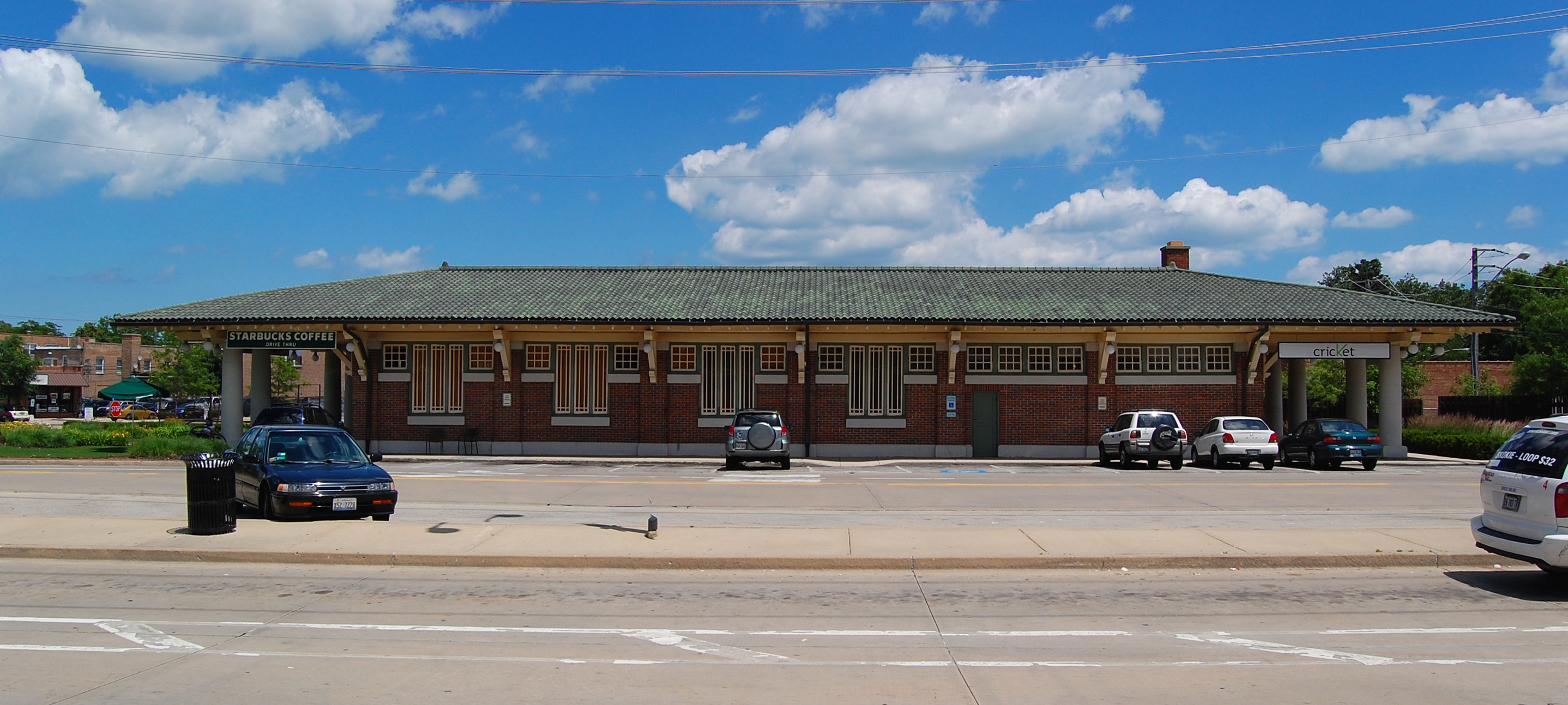
Restaurants
Streets nearby
Greenwood Street400 ft
Suffield Court0.1 mi
Lockwood Avenue0.1 mi
Carol Street0.1 mi
Leclaire AvenueLe Claire & Pratt
0.1 mi
Crain Street0.2 mi
Grove Street0.2 mi
Laramie AvenueSaint Peter's United Church of Christ, Baskin-Robbins, Russian School of Mathematics
0.2 mi
West Dempster StreetDempster-Skokie CTA Station, Starbucks, Western Union, Skokie Curency Exchange, Dempster & Skokie Blvd, Oberweis, Redhot Ranch, Al Sham Sweets, Dempster & Bronx, Skokie Cash Jewelry and Loan, Tacos Gingi, Dempster & Leclaire, Dempster & Niles Center, Dempster & Lockwood, Baskin-Robbins, FedEx Office, Panda Express, Subway, Dempster & Gross Point, Halal Pizza Point, Dempster & Kilpatrick
0.2 mi
Suffield Terrace0.3 mi
Taxi LaneDempster-Skokie Yellow Line Station, Dempster-Skokie CTA Station
0.3 mi
Davis StreetBronx & Davis
0.3 mi
Long AvenueWeCare In Home Care
0.3 mi
Lavergne AvenueLavergne & Golf
0.3 mi
Arcadia Street0.4 mi
Terminal Avenue0.4 mi
Lawler Avenue0.4 mi
Bronx AvenueBronx & Grove, Bronx & Dempster
0.4 mi
Gross Point RoadEmma's Bagel Cafe, HassleLess Mattress, Gross Point & Church, Rosenblum's World of Judaica
0.5 mi
Church StreetSkevanston, Phillips 66, Church & Crawford, Church & Kilbourn, Church & Lowell, Church & Keeler, Church & Karlov, Church & Niles Center, Church & Kenton/Niles Center, Church & Kilpatrick, Church & Skokie Blvd, Cassandra Strings
0.5 mi
Lamon AvenueEJ's Pizzeria, De-Jred Fine Jamaican Cuisine, Burlington
0.5 mi
Auto parts stores nearby
O'Reilly Auto Parts0.4 mi
Auto repair shops nearby
CarX Tire and Auto0.1 mi
ABRA Auto Body & Glass0.2 mi
Banks nearby
PNC Bank0.2 mi
Car rentals nearby
Budget450 ft
Car washes nearby
Skokie Car Wash0.2 mi
Cell phone stores nearby
Cell Phone Authority0.3 mi
Convenience stores nearby
Shell400 ft
Delis nearby
Kaufmann's Deli0.4 mi
Department stores nearby
Target0.3 mi
Fast food restaurants nearby
Dunkin'0.1 mi
Subway0.3 mi
Fire stations nearby
Skokie Fire Department Station #180.3 mi
Industrial buildings nearby
Skokie Public Works0.3 mi
Liquor stores nearby
Binny's Beverage Depot0.1 mi
Office buildings nearby
Bronx Building0.3 mi
Parks nearby
Lockwood Park0.2 mi
Gross Point Park0.5 mi
Places of worship nearby
Williams Memorial Temple Church0.4 mi
Grace Chinese Christian Church0.5 mi
Rental services nearby
House of Rental0.5 mi
Retail areas nearby
Gross Point Crossings50 ft
Retail buildings nearby
Dempster Street Station0.3 mi
Shelters nearby
Skokie Swift CTA Station0.3 mi
Social facilities nearby
The Grove of Skokie0.3 mi
Subway lines nearby
Skokie Swift0.3 mi
Train stations nearby
Dempster-Skokie0.3 mi
Other nearby
Skokie 138kV Substation0.5 mi
Public transit map Skokie Legend
| Railway | |
| Bus | |
| Streetcar |
Bicycle map Skokie Legend
| Bike path | |
| Bike lane on roadway | |
| Cycling allowed on bus lane | |
| Bicycle street | |
| Open to cyclists | |
| Open to cyclists, good path | |
| Cycling prohibited | |
| Cobblestone |
| Long-distance bike route | (depending on scale) | |
| Long-distance bike route |
Pedestrian map Skokie Legend
| Path |
| Long-distance hiking trail | (depending on scale) | |
| Long-distance hiking trail | ||
| Pedestrians prohibited |