
Des Plaines River in Park Ridge, Illinois
Des Plaines River in Park Ridge is a river. Des Plaines River also exists in Riverside Township, Proviso Township, Leyden Township and Stickney Township. Ⓦ.
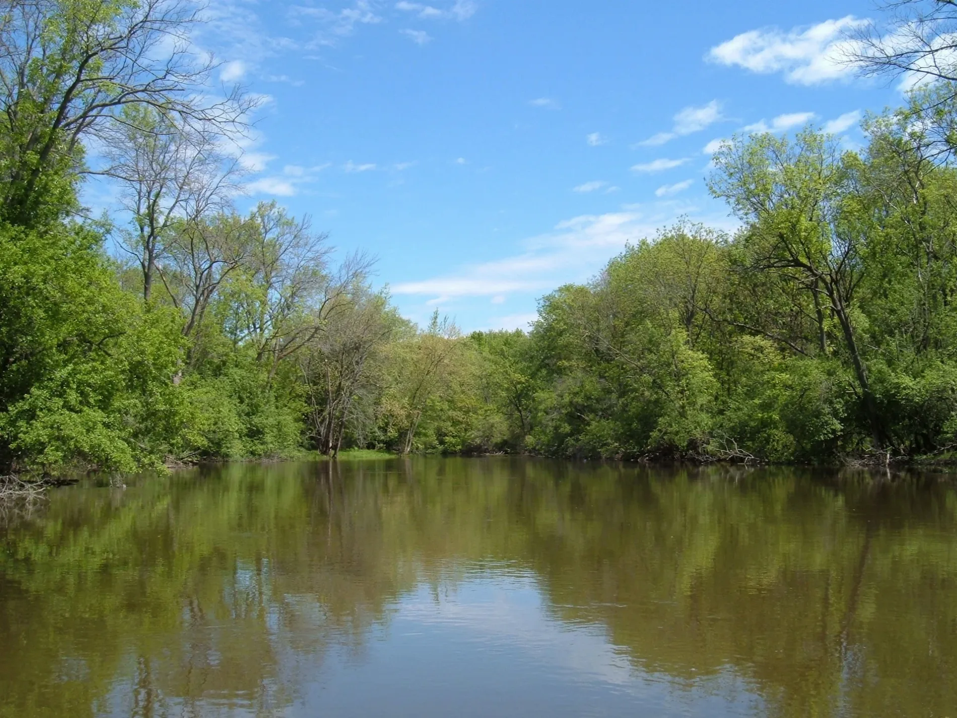
- Waterway Type
- river
Bus stops
Tourist information centers
Stations
Streets nearby
North Talcott Road0.2 mi
Astoria Way0.2 mi
Iroquois Woods Access RoadIroquois Woods Grove #1
0.2 mi
Cherry Street0.2 mi
Des Plaines River Trail Yellow Paved0.3 mi
Halien Terrace0.3 mi
East Touhy Avenue0.3 mi
Scottlynne Drive0.3 mi
Ashbury Circle0.3 mi
Sherwin Avenue0.3 mi
North River Road24 S River Road, River Road & Woodland, Saint Mary's Cemetery, Dunkin', Forest Preserve District of Cook County, River Road & Elk, River Road & Pearson, River Road & Perry, River Road & Golf, 3000 S River Rd, River Road & Rand, River Road & Miner
0.3 mi
Park Lane0.3 mi
Boardwalk Place0.4 mi
Murphy Lake Lane0.4 mi
Forestview Avenue0.4 mi
West Sibley Street0.4 mi
Wesley Drive0.4 mi
Chase Avenue0.4 mi
Fargo Avenue0.4 mi
Riverside Drive0.4 mi
Magnolia Street0.4 mi
Park Plaine Avenue0.4 mi
Hickory Street0.4 mi
Estes Avenue0.5 mi
Axehead Lake Access Road0.5 mi
John E. Traeger Access RoadJohn E. Traeger Family Picnic Area
0.5 mi
Rusty Drive0.5 mi
Murphy Lake Road0.5 mi
Des Plaines River Trail Yellow UnpavedDes Plaines River Trail, Forest Preserve District of Cook County
0.5 mi
Parkwood Lane0.6 mi
Iris Lane0.6 mi
Chippewa Woods Access Road2600 S River Rd
0.6 mi
Talcott RoadTalcott & Greenwood, Talcott & Lincoln, Talcott & Western, Talcott & Engel/Seminary, Talcott & Seminary/Engel, MyEyeDr., Talcott & Canfield, Talcott & Linden, Talcott & Vine, Talcott & Dee, Talcott & Redfield, Talcott & Hamlin, Talcott & Rose, Talcott & Cumberland, Talcott & Clifton/Arthur, Talcott & Devon/Courtland
0.6 mi
Thames Parkway0.6 mi
Tri-State TollwayO'Hare Lake Building 2400, Touhy Avenue Toll Plaza, O'Hare Lake Building 2300
0.6 mi
David Drive0.6 mi
Pearle Drive0.6 mi
Community centers nearby
Maine Park Leisure Center0.3 mi
Convenience stores nearby
Mobil Mart0.4 mi
Hotels nearby
Comfort Inn Convention Center-Chicago O'Hare Airport0.4 mi
Industrial areas nearby
Highway Maintanence Facility0.3 mi
Museums nearby
Wildwood Nature Center0.4 mi
Nature reserves nearby
Forest Preserve District of Cook County0.5 mi
John E. Traeger Preserve0.5 mi
Office buildings nearby
Continental Office Plaza0.4 mi
Parks nearby
Maine Park0.4 mi
Picnic areas nearby
Chippewa Woods Grove #10.6 mi
Restaurants nearby
Tiffany's Restaurant & Cafe0.4 mi
Rivers nearby
Des Plaines River0.3 mi
Waters nearby
Axehead Lake0.3 mi
| Length | 241 |
|---|---|
| Elevation | 152 m |
| Located in | Illinois, Wisconsin |
| Country | United States |
| Mouth | Illinois River |
| Tributary | DuPage River, Chicago Sanitary and Ship Canal, Buffalo Creek, Salt Creek |
Public transit map Park Ridge Legend
| Railway | |
| Bus | |
| Streetcar |
Bicycle map Park Ridge Legend
| Bike path | |
| Bike lane on roadway | |
| Cycling allowed on bus lane | |
| Bicycle street | |
| Open to cyclists | |
| Open to cyclists, good path | |
| Cycling prohibited | |
| Cobblestone |
| Long-distance bike route | (depending on scale) | |
| Long-distance bike route |
Pedestrian map Park Ridge Legend
| Path |
| Long-distance hiking trail | (depending on scale) | |
| Long-distance hiking trail | ||
| Pedestrians prohibited |