
Lincoln Avenue in Park Ridge, Illinois
Lincoln Avenue in Park Ridge is a residential street and it runs in an east-west direction starting from North Western Avenue and crosses Hallberg Lane. Lincoln Avenue also exists in Riverside Township, Niles Township, Elk Grove Township, Hanover Township and New Trier Township.
- Road Type
- residential street
- Route
- east-west
Image
Charging stations
Money transfer services
Bus stops
Fast food restaurants
Hospitals
Hearing aid centers
Streets nearby
Hallberg Lane350 ft
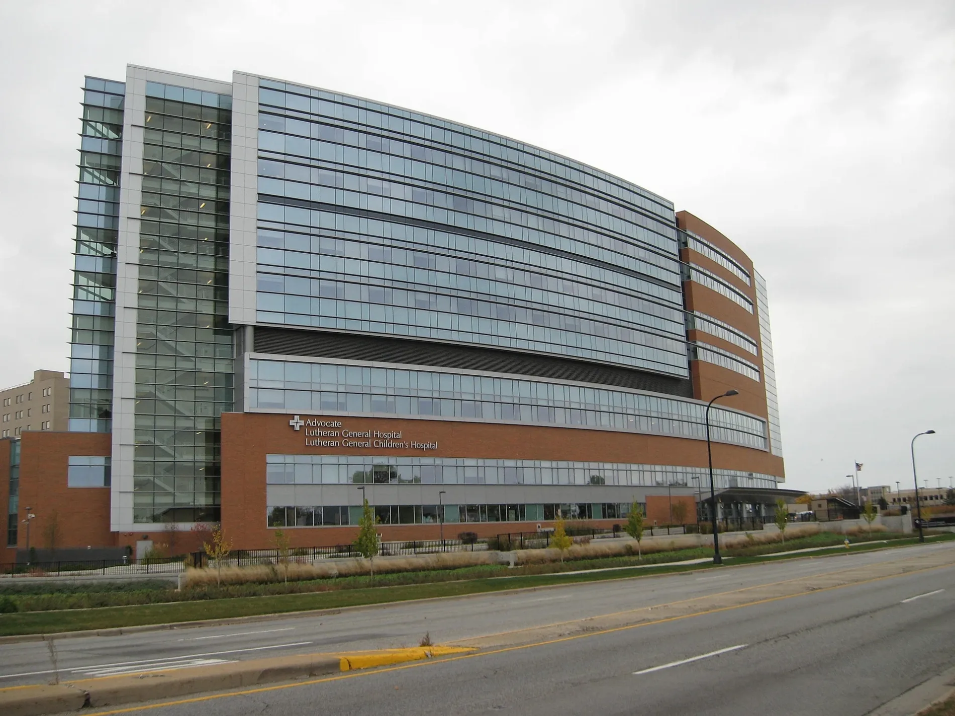
North Western AvenueAdvocate Children's Hospital - Park Ridge
450 ft
Ebert Place0.2 mi
West Stolting Road0.2 mi
West Dempster StreetDempster & Milwaukee, Dempster & Washington, Dempster & Grace, Dempster & Cumberland, Dempster & Western, Layalena Banquets, Dempster & Harlem, AT&T, Baskin-Robbins, T-Mobile, Dempster & Shermer, Dempster & Merrill, Dempster & National, Advance Auto Parts, Dempster & Grand, Dempster & Greenwood
0.2 mi
Weeg Way0.2 mi
West Park LaneGreenwood & Park
0.3 mi
Fenton Lane0.3 mi
Dempster Court0.3 mi
Burton Lane0.3 mi
Luther Lane0.3 mi
Manor Lane0.3 mi
North Parkside AvenueAdvocate Heath Care Clinic
0.3 mi
Vernon AvenueChargePoint
0.4 mi
De Cook Avenue0.4 mi
North Knight AvenueScrubs & Beyond
0.4 mi
Ballard Road0.5 mi
Buckingham Park Drive0.5 mi
North Home Avenue0.5 mi
Jacqueline Drive0.5 mi
Parkside Drive0.5 mi
Victor Lane0.5 mi
Bobbi Lane0.5 mi
Woodview Lane0.6 mi
Davis Street0.6 mi
Banks nearby
Huntington Bank0.3 mi
Bank of America0.5 mi
Car dealerships nearby
Bredemann Chevrolet0.2 mi
Bredemann Toyota0.2 mi
Convenience stores nearby
Mobil Mart0.3 mi
BP Shop0.3 mi
Doctor's offices nearby
1600 West Dempster Medical Building0.2 mi
Fast food restaurants nearby
Portillo's0.3 mi
Dunkin'0.3 mi
Gas stations nearby
Mobil0.3 mi
BP0.3 mi
Hardware stores nearby
The Home Depot0.3 mi
Parks nearby
North Park500 ft
Ballard Point Park0.4 mi
Places of worship nearby
Saint Anselm's Episcopal Church0.1 mi
Messiah Lutheran Church0.3 mi
Retail areas nearby
Dempster Plaza0.3 mi
Social facilities nearby
Sunrise of Park Ridge0.4 mi
Streams nearby
Prairie Creek0.5 mi
Supermarkets nearby
Jewel-Osco0.3 mi
Tony's Fresh Market0.4 mi
Town halls nearby
Maine Township Hall0.5 mi
Water towers nearby
Advocate Lutheran General Hospital Water Tower0.5 mi
Other nearby
Advocate Lutheran General Hospital Heliport0.2 mi
Public transit map Park Ridge Legend
| Railway | |
| Bus | |
| Streetcar |
Bicycle map Park Ridge Legend
| Bike path | |
| Bike lane on roadway | |
| Cycling allowed on bus lane | |
| Bicycle street | |
| Open to cyclists | |
| Open to cyclists, good path | |
| Cycling prohibited | |
| Cobblestone |
| Long-distance bike route | (depending on scale) | |
| Long-distance bike route |
Pedestrian map Park Ridge Legend
| Path |
| Long-distance hiking trail | (depending on scale) | |
| Long-distance hiking trail | ||
| Pedestrians prohibited |