
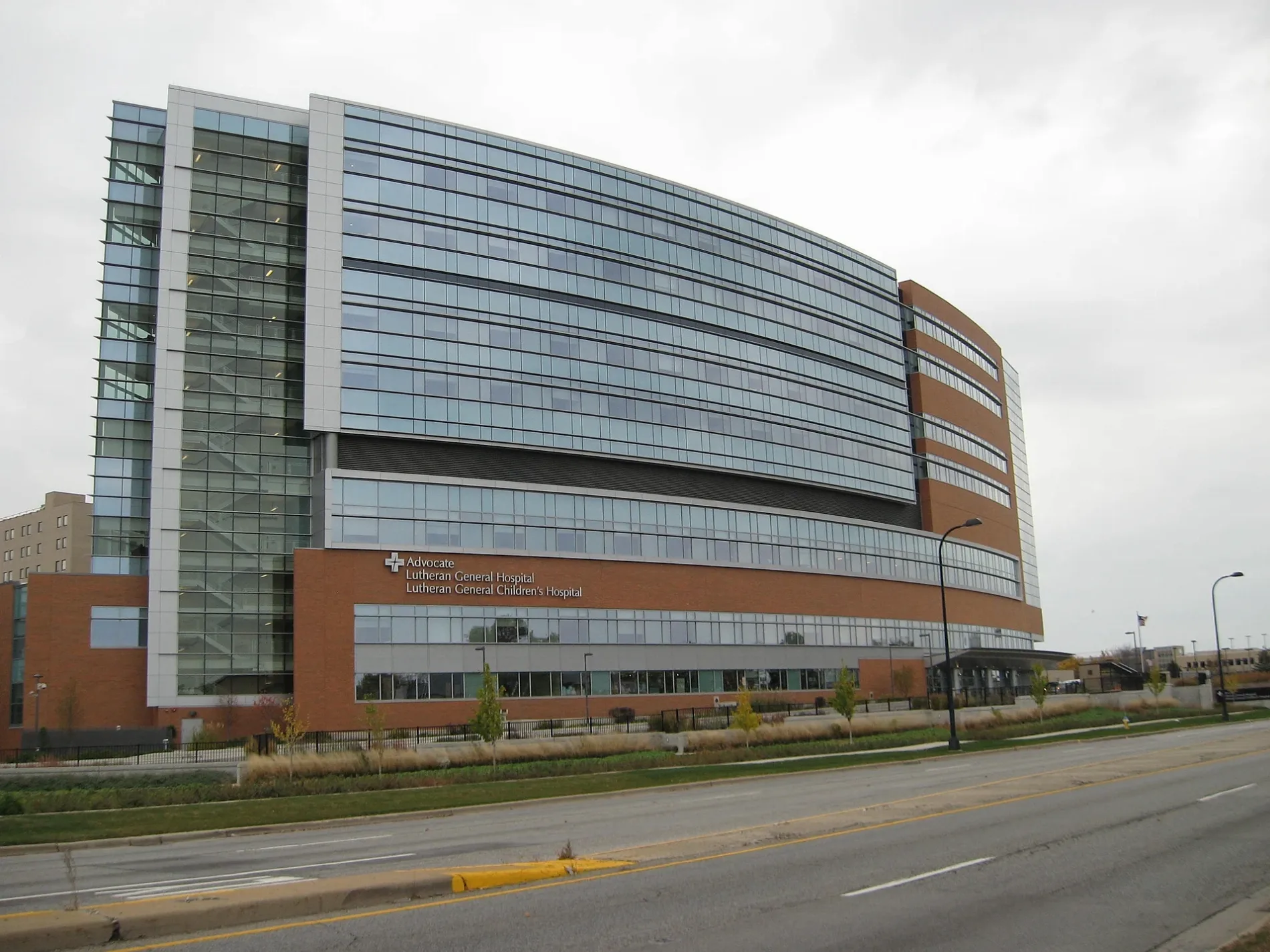
Luther Lane in Park Ridge, Illinois
Luther Lane in Park Ridge is a service road and runs in a north-south direction and crosses West Dempster Street and Weeg Way. Luther Lane also exists in Bloom Township.
- Road Type
- service road
- Route
- north-south
Image
Hospitals
Money transfer services
Bus stops
Fast food restaurants
Charging stations
Hearing aid centers
Streets nearby
Dempster Court0.1 mi
Weeg Way0.1 mi
Vernon AvenueChargePoint
0.2 mi
West Dempster StreetDempster & Milwaukee, Dempster & Washington, Dempster & Grace, Dempster & Cumberland, Dempster & Western, Layalena Banquets, Dempster & Harlem, AT&T, Baskin-Robbins, T-Mobile, Dempster & Shermer, Dempster & Merrill, Dempster & National, Advance Auto Parts, Dempster & Grand, Dempster & Greenwood
0.2 mi
Fenton Lane0.2 mi
Parkside Drive0.2 mi
North Western AvenueAdvocate Children's Hospital - Park Ridge
0.3 mi
Bobbi Lane0.3 mi
Burton Lane0.3 mi
Farrell Avenue0.3 mi
Robin Drive0.3 mi
North Parkside AvenueAdvocate Heath Care Clinic
0.3 mi
Lincoln Avenue0.3 mi
East Marcus Court0.3 mi
Howard Court0.3 mi
De Cook Avenue0.3 mi
West Marcus Court0.3 mi
North Dee RoadDee & Central, Dee & Church, Dee & West Oaks, Dee & Emerson, Dee & Golf, Dee & Noel
0.4 mi
Oak Tree Lane0.4 mi
North Home Avenue0.4 mi
Briar Court0.4 mi
Abbey Lane0.4 mi
Carleah Street0.4 mi
Woodview Lane0.4 mi
Rancho Lane0.4 mi
Capitol Drive0.4 mi
North de Cook Court0.5 mi
Senate DriveInternational Bank of Chicago, La Michoacana Premium
0.5 mi
Washington Drive0.5 mi
Landings LaneMetro by T-Mobile
0.5 mi
South de Cook Court0.5 mi
Kennedy DriveKennedy & Ballard, Kennedy & Federal, Kennedy & Church, Kenendy & Senate, Kennedy & Congress
0.5 mi
East Dempster StreetDempster & Potter, Dempster & Carleah/Maine East HS, Dempster & Dee
0.5 mi
Ballard RoadBallard & Rancho, Ballard & Lincoln/Rancho
0.5 mi
Unity Drive0.5 mi
Lincoln Drive0.5 mi
Potter RoadDunkin', Potter & Dempster, Potter & Ballard, Potter & Seminary, MoneyGram
0.6 mi
Doctor's offices nearby
1600 West Dempster Medical Building0.2 mi
Fast food restaurants nearby
Portillo's0.2 mi
Wendy's0.6 mi
Parks nearby
North Park0.3 mi
Places of worship nearby
Messiah Lutheran Church0.1 mi
Retail areas nearby
Crystal Landings0.5 mi
Social facilities nearby
Sunrise of Park Ridge0.3 mi
Streams nearby
Prairie Creek0.3 mi
Town halls nearby
Maine Township Hall0.4 mi
Variety stores nearby
Dollar Tree0.4 mi
Water towers nearby
Advocate Lutheran General Hospital Water Tower0.2 mi
Other nearby
Advocate Lutheran General Hospital Heliport0.1 mi
Public transit map Park Ridge Legend
| Railway | |
| Bus | |
| Streetcar |
Bicycle map Park Ridge Legend
| Bike path | |
| Bike lane on roadway | |
| Cycling allowed on bus lane | |
| Bicycle street | |
| Open to cyclists | |
| Open to cyclists, good path | |
| Cycling prohibited | |
| Cobblestone |
| Long-distance bike route | (depending on scale) | |
| Long-distance bike route |
Pedestrian map Park Ridge Legend
| Path |
| Long-distance hiking trail | (depending on scale) | |
| Long-distance hiking trail | ||
| Pedestrians prohibited |