
West 95th Street in Palos Township, Illinois
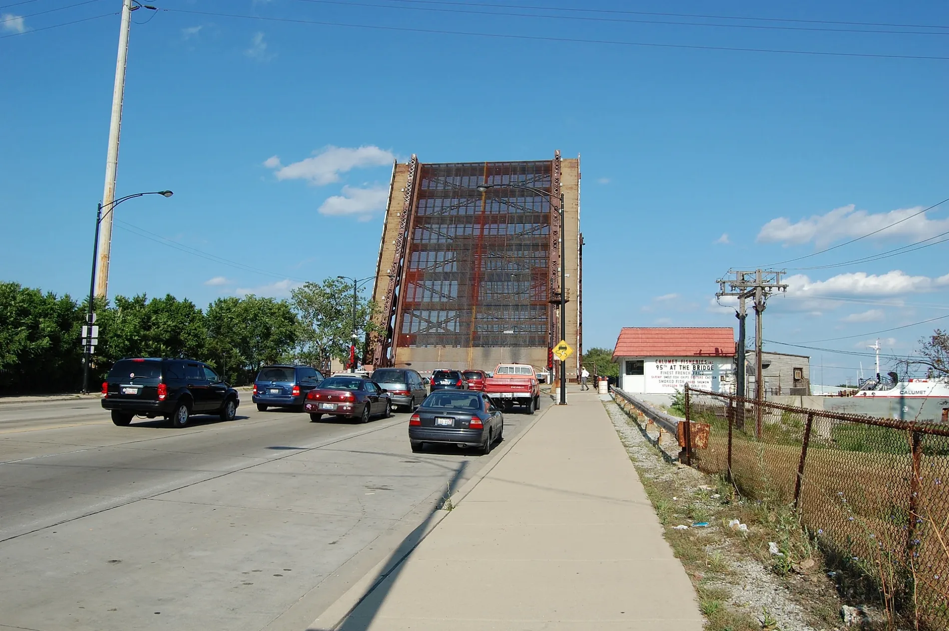
West 95th Street in Cook County is a two-lane main road. It runs in an east-west direction and crosses Campbell Avenue, 78th Court, 86th Avenue, Flamingo Terrace, Harding Avenue, Avers Avenue, Hamlin Avenue, Ridgeway Avenue, Lawndale Avenue, Millard Avenue, South Central Park Avenue and Saint Louis Avenue. It ends in a cul-de-sac and connects Oak Lawn, Washington Heights, Evergreen Park, Beverly, Roseland and Hickory Hills. This street is part of the highways 12 and 20. Ⓦ.
- Road Type
- main road
- Lanes
- 2
- Speed Limit
- 35 mph
- Route
- east-west
Image
Streets nearby
Brown Unpaved TrailSwallow Cliff Woods-South Trail Access, Hidden Pond Woods-West Trail Access, Post 28, Wolf Road Woods Trail Access, Wolf Road Woods
0.2 mi
Saratoga Court0.3 mi
94th Street0.3 mi
Cinnamon Creek Drive0.3 mi
Hidden Pond Parking Lot Access Road0.3 mi
Sandcastle Drive0.3 mi
Churchill Drive0.3 mi
Del Prado Drive0.3 mi
Orange Unpaved TrailHidden Pond Woods-East Trail Access
0.4 mi
Hidden Pond Access Road0.4 mi
Los Palos0.4 mi
Kopping Lane0.4 mi
Wooden Path Drive0.4 mi
West Oak Crest Court0.4 mi
Maple Crest Court0.4 mi
South 90th Avenue0.5 mi
Los Palos Lane0.5 mi
Yellow Unpaved TrailCamp Kiwanis Equestrian Staging Area Trail Access
0.5 mi
Hickory Crest Court0.5 mi
La Grange RoadWhite Oak Woods Picnic Grove 1, La Grange & 123rd Street/McCarthy
0.5 mi
98th Place0.5 mi
92nd Place0.5 mi
90th Avenue0.5 mi
92nd Street0.6 mi
Black Unpaved Spur TrailSpears Woods Picnic Grove 1, Spears Woods Trail Access
0.6 mi
Spears Wood Parking Lot Access Road0.6 mi
Woodland Drive0.6 mi
West 92nd Street0.6 mi
Spears Wood Access Road0.6 mi
West Forest Lane0.6 mi
Hickory Lane0.6 mi
91st Place0.6 mi
Purple Unpaved SpurPioneer Woods Trail Access
0.7 mi
Wachter Lane0.7 mi
Briarwood Lane0.7 mi
Hawthorn Drive0.7 mi
Birch Lane0.7 mi
South Kean Avenue0.7 mi
East Forest Lane0.7 mi
Drains nearby
Crooked Creek0.2 mi
Nature reserves nearby
Hidden Pond Woods0.7 mi
Parks nearby
Woodland Park0.6 mi
Places of worship nearby
Southwest Alliance Church of the Christian and Missionary Alliance0.6 mi
Waters nearby
Redwing Slough0.1 mi
Buttonbush Slough0.3 mi
Hidden Pond Slough0.3 mi
Belly Deep Slough0.4 mi
Hogwash Slough0.6 mi
Pollywog Slough0.7 mi
| Located in | Illinois |
|---|---|
| Country | United States |
 Public transit map Palos Township Legend
| Railway | |
| Bus | |
| Streetcar |
 Bicycle map Palos Township Legend
| Bike path | |
| Bike lane on roadway | |
| Cycling allowed on bus lane | |
| Bicycle street | |
| Open to cyclists | |
| Open to cyclists, good path | |
| Cycling prohibited | |
| Cobblestone |
| Long-distance bike route | (depending on scale) | |
| Long-distance bike route |
 Pedestrian map Palos Township Legend
| Path |
| Long-distance hiking trail | (depending on scale) | |
| Long-distance hiking trail | ||
| Pedestrians prohibited |