
Weeg Way in Park Ridge, Illinois
Weeg Way in Park Ridge is a residential street. It runs in an east-west direction starting from Vernon Avenue and crosses Luther Lane and Parkside Drive and ends at North Western Avenue.
- Road Type
- residential street
- Route
- east-west
Image
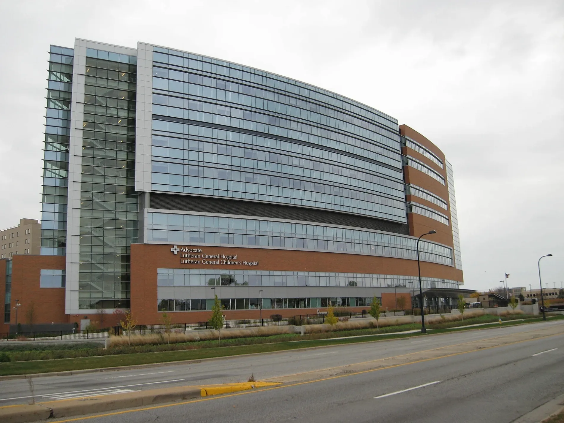
ATMs
Tourist information centers
Fast food restaurants
Bus stops
Hair salons
Restaurants
Opticians
Cafes
Ice cream shops
Streets nearby
Fenton Lane450 ft
Vernon AvenueChargePoint
0.1 mi
Burton Lane0.1 mi
North Western AvenueAdvocate Children's Hospital - Park Ridge
0.2 mi
Dempster Court0.2 mi
De Cook Avenue0.2 mi
East Marcus Court0.2 mi
West Dempster StreetDempster & Luther
0.2 mi
Lincoln Avenue0.2 mi
Luther Lane0.3 mi
West Marcus Court0.3 mi
Manor Lane0.3 mi
Hallberg Lane0.3 mi
North Parkside Avenue0.4 mi
Carol Street0.4 mi
Bruce Drive0.4 mi
North Hamlin Avenue0.4 mi
Habberton Avenue0.4 mi
Birch Street0.4 mi
Ebert Place0.4 mi
West Stolting Road0.4 mi
West Park Lane0.5 mi
North Greenwood AvenueGreenwood & Dempster, 9411 N Greenwood Ave, Cafe El Tapatio, Family Dental Practice, Masala Indo-Pak Grocers, Bucky's, Greenwood & Church, Greenwood & Ballard, The Vitamin Shoppe
0.5 mi
North Knight AvenueDollar Tree, Hallmark
0.5 mi
Poplar Street0.5 mi
West Sunset Road0.5 mi
North Lincoln Lane0.5 mi
Parkside Drive0.5 mi
West Betty Terrace0.5 mi
Glenview AvenuePotter & Glenview
0.5 mi
West Normal Avenue0.6 mi
North Chester AvenueBaskin-Robbins
0.6 mi
Wilkinson Parkway0.6 mi
West Madison Drive0.6 mi
West North Terrace0.6 mi
Banks nearby
Huntington Bank0.4 mi
Car dealerships nearby
Bredemann Chevrolet0.3 mi
Bredemann Toyota0.4 mi
Doctor's offices nearby
1600 West Dempster Medical Building0.3 mi
Fast food restaurants nearby
Portillo's0.3 mi
Hardware stores nearby
The Home Depot0.4 mi
Parks nearby
North Park0.2 mi
Woodland Park0.5 mi
Places of worship nearby
Messiah Lutheran Church500 ft
Saint Anselm's Episcopal Church0.4 mi
Our Lady of Ransom Church0.6 mi
Retail areas nearby
Dempster Plaza0.5 mi
Supermarkets nearby
Jewel-Osco0.4 mi
Other nearby
Advocate Lutheran General Hospital Heliport0.1 mi
 Public transit map Park Ridge Legend
| Railway | |
| Bus | |
| Streetcar |
 Bicycle map Park Ridge Legend
| Bike path | |
| Bike lane on roadway | |
| Cycling allowed on bus lane | |
| Bicycle street | |
| Open to cyclists | |
| Open to cyclists, good path | |
| Cycling prohibited | |
| Cobblestone |
| Long-distance bike route | (depending on scale) | |
| Long-distance bike route |
 Pedestrian map Park Ridge Legend
| Path |
| Long-distance hiking trail | (depending on scale) | |
| Long-distance hiking trail | ||
| Pedestrians prohibited |