
Madison Street in Berkeley, Illinois
Madison Street in Berkeley is a residential street. It runs in an east-west direction and crosses Arthur Avenue and Herbert Avenue. It ends in a cul-de-sac. Madison Street is also known as 0 N/S. Madison Street also exists in Bellwood, Forest Park and Maywood. Ⓦ.
- Road Type
- residential street
- Route
- east-west
Image
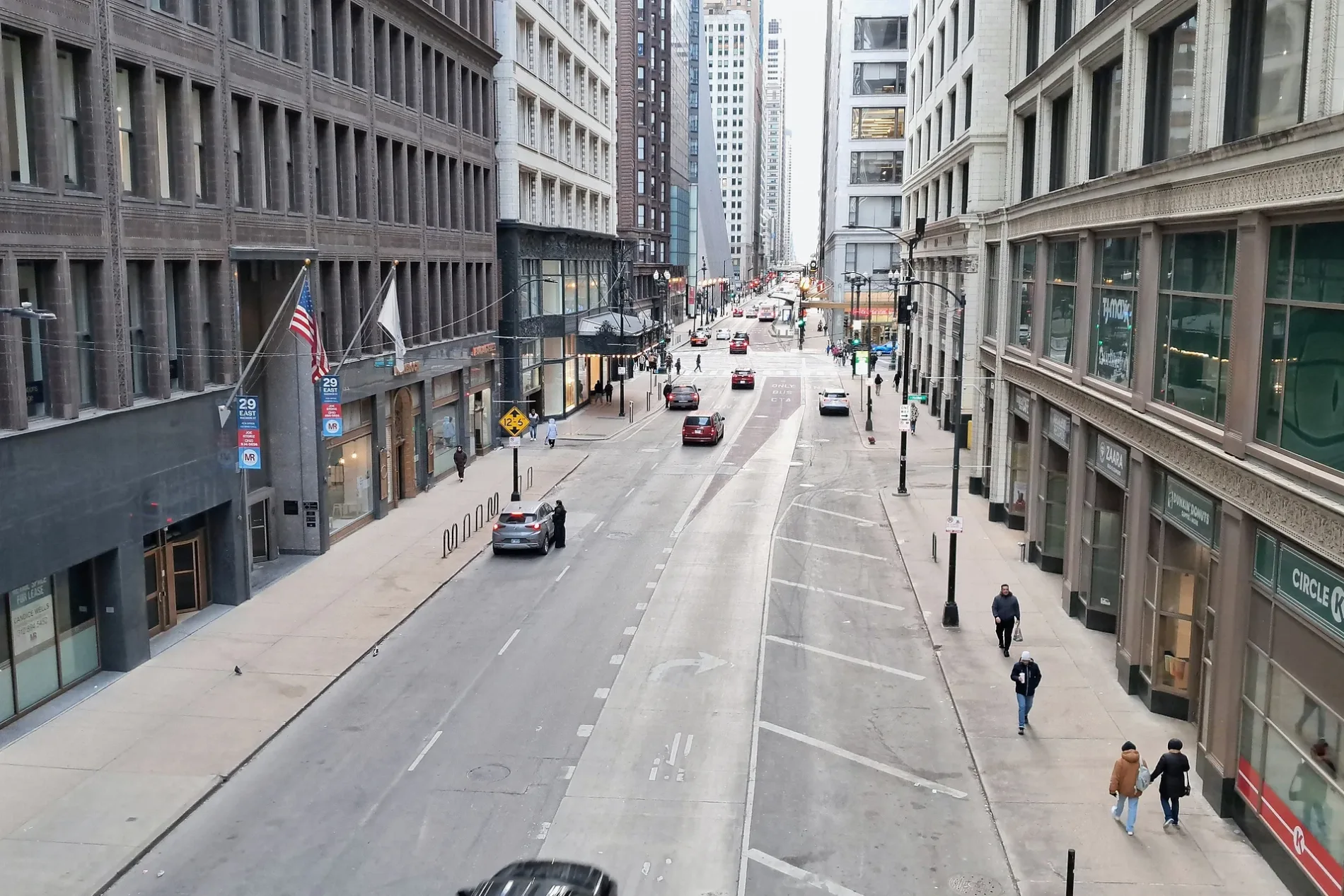
Schools
Variety stores
Beauty salons
Platforms
Fast food restaurants
Police stations
Laundries
Bus stops
Stations
Places of worship
Cell phone stores
Town halls
Secondhand stores
Restaurants
Streets nearby
Herbert Avenue50 ft
Arthur Avenue450 ft
Prospect Avenue0.1 mi
Taft Avenue0.1 mi
Locust Avenue0.2 mi
Butterfield RoadButterfield & Broadview, Walgreens, Hillside Baptist Church
0.2 mi
Atwood Avenue0.2 mi
Howard Avenue0.2 mi
East End Avenue0.2 mi
Warren Avenue0.2 mi
Longfellow Court0.2 mi
Elm Avenue0.3 mi
20.3 mi
School Street0.3 mi
Irving Avenue0.3 mi
Adams Street0.3 mi
Ridge Avenue0.3 mi
Coolidge Avenue0.3 mi
Calvin Avenue0.3 mi
Hillside AvenueSaint Domitilla School
0.3 mi
High Street0.3 mi
Adams Court0.4 mi
Atwood Court0.4 mi
Washington Avenue0.4 mi
Darmstadt RoadDarmstadt & Elm (Hillside Park & Ride), 5979 Darmstadt Rd
0.4 mi
Illinois Prairie Path0.4 mi
Ronald Reagan Memorial Tollway0.4 mi
Kouba Drive0.4 mi
Stratford Avenue0.4 mi
Rose Court0.4 mi
Electric AvenueBerkeley Police Department, Berkeley Village Hall
0.4 mi
Princeton Court0.4 mi
Park Manor Court0.4 mi
Edgewood Avenue0.4 mi
Madison Court0.5 mi
Allison Street0.5 mi
Hillcrest Avenue0.5 mi
East Adams Street0.5 mi
Tri-State Tollway0.5 mi
Cadwell Avenue0.5 mi
Barclay Court0.5 mi
South Cedar Avenue0.5 mi
Fire stations nearby
Berkeley Fire Department0.3 mi
Libraries nearby
Hillside Public Library0.3 mi
Parks nearby
Kiwanis Park0.4 mi
Berkeley Park0.5 mi
Railways nearby
Freeport Subdivision0.4 mi
Self storages nearby
StorageMart0.2 mi
Town halls nearby
Hillside Village Hall0.4 mi
| Named after | James Madison |
|---|---|
| Located in | Chicago |
| Country | United States |
 Public transit map Berkeley Legend
| Railway | |
| Bus | |
| Streetcar |
 Bicycle map Berkeley Legend
| Bike path | |
| Bike lane on roadway | |
| Cycling allowed on bus lane | |
| Bicycle street | |
| Open to cyclists | |
| Open to cyclists, good path | |
| Cycling prohibited | |
| Cobblestone |
| Long-distance bike route | (depending on scale) | |
| Long-distance bike route |
 Pedestrian map Berkeley Legend
| Path |
| Long-distance hiking trail | (depending on scale) | |
| Long-distance hiking trail | ||
| Pedestrians prohibited |