
West 31st Street in La Grange Park, Illinois
West 31st Street in La Grange Park is an asphalted secondary road. It runs in an east-west direction starting from 31st Street and crosses Brainard Avenue, North La Grange Road and South La Grange Road and ends at East 31st Street. West 31st Street is also known as East 31st Street. West 31st Street also exists in Bloom Township.
- Road Type
- secondary road
- Speed Limit
- 40 mph
- Route
- east-west
Image
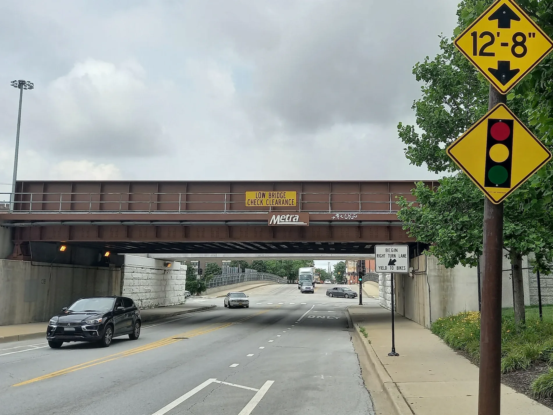
Hair salons
Picnic areas
Bars
Liquor stores
Doctor's offices
Police stations
Fast food restaurants
Antique stores
Convenience stores
Animal shelters
Restaurants
Dentist offices
Bus stops
Trophy shops
Kindergartens
Tailor shops
Florists
Streets nearby
South La Grange RoadLa Grange & 31st Street, The Wheel Thing
250 ft
North La Grange RoadLa Grange Park Woods Picnic Grove 1, La Grange & 31st Street, Webster Dental Care, Phillip's, Panera Bread, Fruitful Yield
400 ft
Woodside Road0.1 mi
Meadowcrest Road0.1 mi
30th Street0.2 mi
East 31st StreetDina's Great Cuts, Level Up, Ino's Tacos, Crown Trophy, Hop District Brewing, LaGrange Park Antique Mall, Posto 31, Brannick Clinic of Natural Medicine, Generations Family Dentistry, Ogden Family Dentistry, Heart's Desire, Symmetry Hair Salon, Cork Keg & Spirits, Expert Tailoring by Pete
0.2 mi
29th Street0.3 mi
West Jackson Avenue0.3 mi
Garfield Avenue0.3 mi
31st Street0.3 mi
Scotdale Road0.3 mi
Stonegate Road0.3 mi
Castle Circle0.3 mi
Community Drive0.4 mi
Forest RoadLa Grange Park
0.4 mi
Brainard Avenue0.4 mi
East Jackson Avenue0.4 mi
Sherwood Road0.4 mi
West Monroe Avenue0.4 mi
Salt Creek Bicycle Trail0.4 mi
East Monroe Avenue0.5 mi
Salt Creek Brown Paved Spur0.5 mi
North Edgewood Avenue0.5 mi
West Harding Avenue0.5 mi
Salt Creek Green Paved Spur0.5 mi
Salt Creek Red Paved Trail0.6 mi
North Park RoadNettie J. McKinnon Art Gallery
0.6 mi
Kensington Avenue0.6 mi
Catherine AvenueLa Grange Park Police Department
0.6 mi
West Oak Avenue0.6 mi
Robinhood Lane0.7 mi
Auto repair shops nearby
Jiffy Lube400 ft
Buildings nearby
Meadowcrest Health Center0.1 mi
Convenience stores nearby
Grand Mart400 ft
BP Shop450 ft
Gas stations nearby
Mobil300 ft
BP350 ft
Libraries nearby
La Grange Park Public Library0.7 mi
Nature reserves nearby
La Grange Park Woods0.3 mi
Parks nearby
Robin Hood Park0.3 mi
Stone and Monroe Park0.4 mi
Poet's Corner0.5 mi
Picnic areas nearby
Possum Hollow Woods Picnic Shelter Grove 10.3 mi
Places of worship nearby
Village United Church of Christ0.2 mi
Saint Michael's Lutheran Church0.3 mi
Restaurants nearby
Mattone400 ft
School buildings nearby
Forest Road Elementary School0.4 mi
Social facilities nearby
The Grove0.5 mi
Veterinary clinics nearby
Arbor Animal Hospital500 ft
| Located in | Chicago |
|---|---|
| Country | United States |
Public transit map La Grange Park Legend
| Railway | |
| Bus | |
| Streetcar |
Bicycle map La Grange Park Legend
| Bike path | |
| Bike lane on roadway | |
| Cycling allowed on bus lane | |
| Bicycle street | |
| Open to cyclists | |
| Open to cyclists, good path | |
| Cycling prohibited | |
| Cobblestone |
| Long-distance bike route | (depending on scale) | |
| Long-distance bike route |
Pedestrian map La Grange Park Legend
| Path |
| Long-distance hiking trail | (depending on scale) | |
| Long-distance hiking trail | ||
| Pedestrians prohibited |