
Harrison Street in Maywood, Illinois
Harrison Street in Maywood is a local road. It runs as a one-way street in an east-west direction and crosses South 1st Avenue, South 2nd Avenue, South 3rd Avenue, South 4th Avenue, South 5th Avenue, South 6th Avenue, South 7th Avenue, South 8th Avenue, South 9th Avenue and South 10th Avenue and ends at South 13th Avenue, while the other end is a cul-de-sac. Harrison Street also exists in Broadview, Forest Park and Hillside.
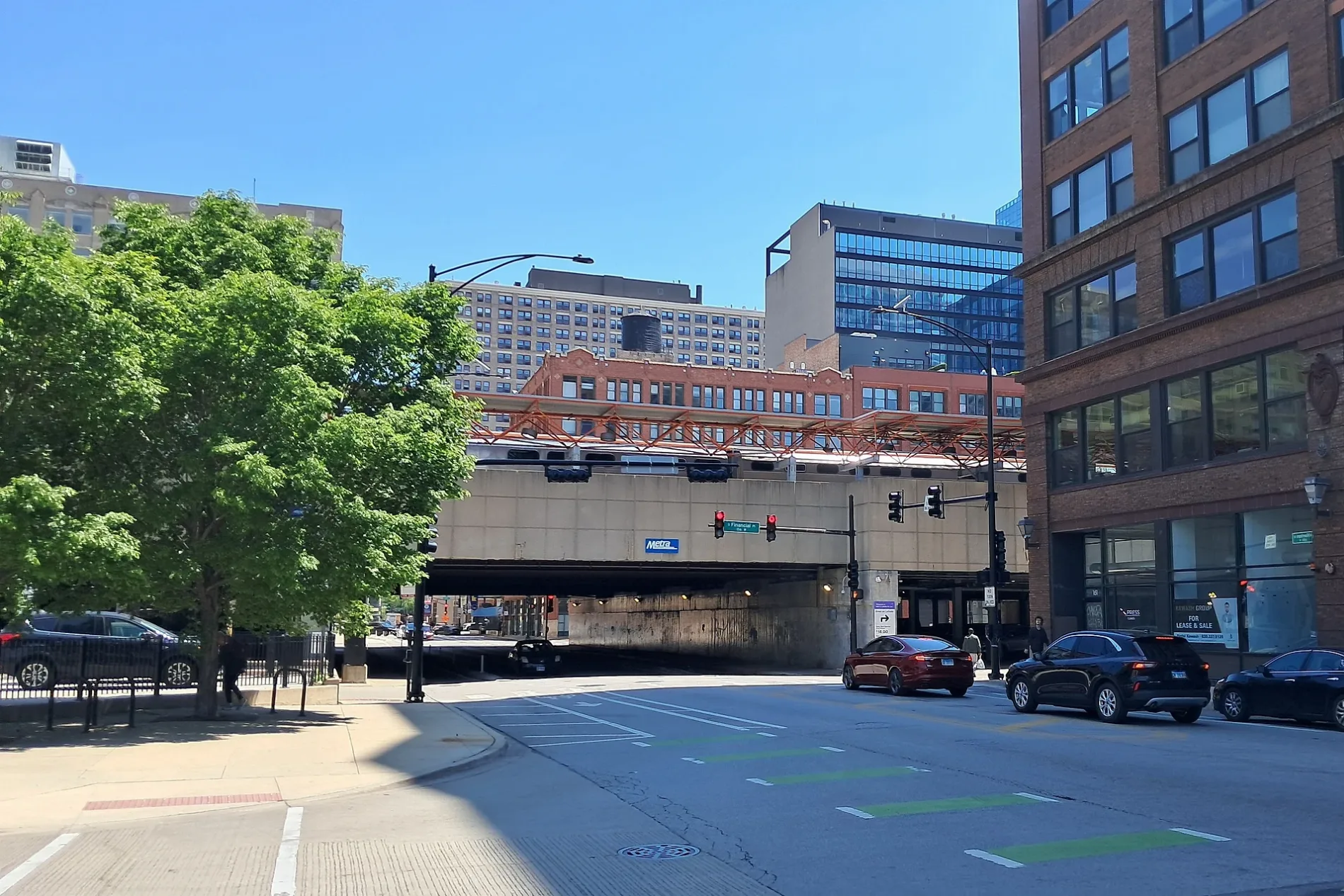
- Road Type
- local road
- Route
- east-west
Places of worship
Bus stops
Gas stations
Convenience stores
Restaurants
Schools
Artworks
Streets nearby
Bataan DriveAli's Broast & Burgers
0.2 mi
Illinois Prairie Path0.3 mi
South 3rd Avenue0.3 mi
Greenwood Avenue0.3 mi
Eisenhower Expressway0.3 mi
Lexington Street0.4 mi
Maybrook Drive0.4 mi
South 4th Avenue0.4 mi
Wilcox Street0.4 mi
Quincy Street0.4 mi
Legion Street0.4 mi
Fillmore Street0.4 mi
South 1st AvenueGulf
0.4 mi
South 6th Avenue0.5 mi
Orchard Avenue0.5 mi
South 5th Avenue5th Avenue & Madison, Maywood, 5th Avenue & St. Charles (Metra), 5th Avenue & Roosevelt
0.5 mi
Roosevelt RoadRoosevelt & 1st Avenue, 8300 Roosevelt Rd, #63, #65, Forest Preserve District of Cook County, Riveredge Hospital (8311 Roosevelt Rd), Walgreens, Western Union, Carole's, J's Clothes Spin Laundromat, Fade City, J&M Mattress & Furniture, Amy's Wine House, Roosevelt & Circle, Charlie's Restaurant, Roosevelt & Thomas, Cardinal Wine & Spirits, Smokin' M's, Roosevelt & Beloit, Forest Park Auto, Roosevelt & Lathrop, Golden Steer Steakhouse, Kagan & Gaines Music, Roosevelt & Des Plaines, McGaffer's, Roosevelt & Troost
0.5 mi
Madison StreetMadison & 5th Avenue, Madison & 13th Avenue, Madison & 11th Avenue, Madison & 1st Avenue, Maywood, African Hair Braiding, Madison & 19th Avenue, D & K Auto Repair
0.5 mi
Miller Meadow-North Access RoadMiller Meadow-South Grove #1, Miller Meadow-South Grove #3
0.6 mi
South 2nd Avenue0.6 mi
School Street0.6 mi
Van Buren StreetVan Buren & Grove, Forest Park, Forest Park Blue Line Station, Ventra
0.7 mi
Shops nearby
AmeriCash Loans0.4 mi
Cafes nearby
Starbucks0.1 mi
Car dealerships nearby
Currie Motors Chevrolet0.5 mi
Cemeteries nearby
Altenheim Cemetery0.6 mi
Community centers nearby
River Forest Community Center0.7 mi
Convenience stores nearby
BP Shop0.5 mi
Courthouses nearby
Cook County Maybrook Courthouse0.3 mi
Fast food restaurants nearby
Dunkin'0.3 mi
Al's Drive-In0.5 mi
Poor Boy0.5 mi
Burger King0.5 mi
Gas stations nearby
BP0.5 mi
Super Save0.5 mi
Hardware stores nearby
ReUse Depot0.5 mi
Industrial areas nearby
IDOT PS4 Jobsite0.3 mi
Office buildings nearby
Eisenhower Tower200 ft
Parks nearby
Lexington Park0.3 mi
Places of worship nearby
God's Heritage Full Gospel Church0.5 mi
Police stations nearby
Cook County Sheriff's Police0.4 mi
Public buildings nearby
Cook County Clerk0.4 mi
Railway areas nearby
CTA Desplaines Yard0.7 mi
Recycling centers nearby
Recycling Center0.3 mi
Rivers nearby
Des Plaines River0.3 mi
School buildings nearby
Former Lexington Elementary School0.3 mi
Subway lines nearby
Test Track0.7 mi
Loop0.7 mi
Town halls nearby
Maywood Village Hall0.5 mi
| Named after | William Henry Harrison |
|---|---|
| Located in | Chicago |
| Country | United States |
 Public transit map Maywood Legend
| Railway | |
| Bus | |
| Streetcar |
 Bicycle map Maywood Legend
| Bike path | |
| Bike lane on roadway | |
| Cycling allowed on bus lane | |
| Bicycle street | |
| Open to cyclists | |
| Open to cyclists, good path | |
| Cycling prohibited | |
| Cobblestone |
| Long-distance bike route | (depending on scale) | |
| Long-distance bike route |
 Pedestrian map Maywood Legend
| Path |
| Long-distance hiking trail | (depending on scale) | |
| Long-distance hiking trail | ||
| Pedestrians prohibited |