
East North Avenue in Melrose Park, Illinois
East North Avenue in Melrose Park is a residential street. It runs in an east-west direction starting from Anson Drive and crosses Janice Avenue and North Avenue. It ends in a cul-de-sac. East North Avenue is also known as 1600N. This street is part of the highway "64". The nearest stop is North Ave & Janice. The bus line 318 stops here. East North Avenue also exists in Northlake. Ⓦ.
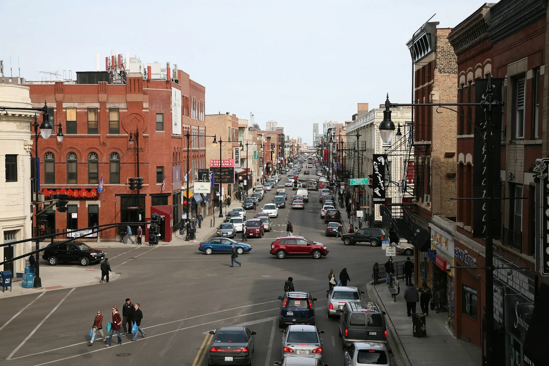
- Road Type
- residential street
- Route
- east-west
Streets nearby
East North Avenue7-Eleven, Walgreens, North Ave & Prater, North Ave & Mannheim, North Ave & Edward, North Ave & Roberta, North Ave & Roy, North Ave & Wolf, AG Keylard & Sons LTD
100 ft
South 46th AvenueMark Twain School
0.1 mi
South 44th Avenue0.1 mi
Anson Drive0.2 mi
North Alvin Avenue0.2 mi
East Country Club Drive0.2 mi
James PlaceDaVita Dialysis, Mannheim & Melrose Crossing/James, Mannheim & James/Melrose Crossing
0.2 mi
East Morse Avenue0.2 mi
North Edward Avenue0.2 mi
East Park View Drive0.2 mi
Northlake Riverwalk0.3 mi
Janice AvenueRivian
0.3 mi
North 39th Avenue0.3 mi
East Le Moyne Avenue0.3 mi
East Victoria Drive0.3 mi
East Hirsch Avenue0.3 mi
West Hirsch AvenueAmoco, Mannheim & Hirsch/Soffel
0.3 mi
38th Avenue0.3 mi
Williams Dr0.3 mi
Hirsch Terrace0.3 mi
West Soffel AvenueMannheim & Hirsch/Soffel, Quasthoff's Flowers
0.4 mi
40th Avenue0.4 mi
Whitehall DriveWolf & Whitehall
0.4 mi
Fred Paul Court0.4 mi
43rd Avenue0.4 mi
Soffel Avenue0.4 mi
North Geneva Avenue0.4 mi
North AvenueNorth Ave & 25th Avenue, Melrose Platinum Fades, Community Gospel Church, North Ave & 1st Avenue, North Ave & 9th Avenue, North Ave & 5th Avenue, North Ave & Broadway/19th Avenue, North Ave & 23rd Avenue, North Ave & George, North Ave & 17th Avenue, North Ave & 15th Avenue, AutoZone, North Ave & 38th Avenue
0.4 mi
36th Avenue0.5 mi
West Le Moyne Avenue0.5 mi
East Armitage Avenue0.5 mi
North Mannheim RoadMannheim & Armitage, Baskin-Robbins, Mannheim & Melrose Crossing
0.5 mi
Auto repair shops nearby
Meineke0.1 mi
Banks nearby
First American Bank0.3 mi
Car rentals nearby
Enterprise0.3 mi
Convenience stores nearby
Mobil Mart0.2 mi
Department stores nearby
TJ Maxx0.5 mi
Fast food restaurants nearby
Dunkin'0.4 mi
Popeyes0.4 mi
Gas stations nearby
Mobil0.2 mi
Amoco0.3 mi
Marathon0.3 mi
Hospitals nearby
Kindred Hospital Chicago Northlake0.2 mi
Motels nearby
Super 8 by Wyndham Chicago Northlake O'Hare South0.5 mi
Parks nearby
Northlake Park0.2 mi
Hasen Park0.2 mi
Rental services nearby
Penske Truck Rental0.4 mi
Retail areas nearby
Melrose Crossing0.2 mi
Self storages nearby
U-Stor-It0.1 mi
Streams nearby
Addison Creek0.2 mi
| Located in | Chicago |
|---|---|
| Country | United States |
Public transit map Melrose Park Legend
| Railway | |
| Bus | |
| Streetcar |
Bicycle map Melrose Park Legend
| Bike path | |
| Bike lane on roadway | |
| Cycling allowed on bus lane | |
| Bicycle street | |
| Open to cyclists | |
| Open to cyclists, good path | |
| Cycling prohibited | |
| Cobblestone |
| Long-distance bike route | (depending on scale) | |
| Long-distance bike route |
Pedestrian map Melrose Park Legend
| Path |
| Long-distance hiking trail | (depending on scale) | |
| Long-distance hiking trail | ||
| Pedestrians prohibited |