
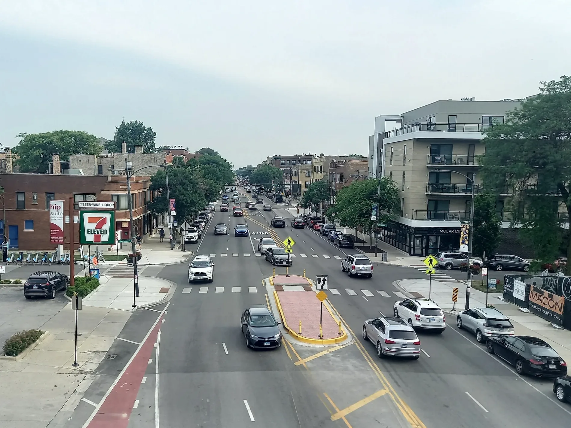
Western Avenue in Olympia Fields, Illinois
Western Avenue in Olympia Fields is a secondary road. It runs in a north-south direction and crosses Graymoor Lane, Saint Andrews Drive, Joe Orr Road and Country Club Drive and ends at West 207th Street, while the other end is a cul-de-sac. Western Avenue is also known as 2400 W. Western Avenue also exists in Hazel Crest. Ⓦ.
- Road Type
- secondary road
- Route
- north-south
Bus stops
Pharmacies
Vending machines
ATMs
Police stations
Doctor's offices
Platforms
Stations
Video game stores
Town halls
Schools
Streets nearby
Inverness Court0.2 mi
Saint Andrews Drive0.2 mi
Augusta Drive0.2 mi
St Andrews Court0.2 mi
Tam O Shanter Court0.2 mi
Glen Eagles Drive0.3 mi
Holly Lane0.4 mi
Vollmer RoadLou Malnati's Pizzeria, Subway, Old Second National Bank
0.4 mi
Joe Orr Road0.4 mi
Wysteria Drive0.4 mi
Oakwood Drive0.4 mi
Butterfield Circle0.4 mi
Brookwood Ter No 10.4 mi
Butterfield Lane0.5 mi
Saratoga Drive0.5 mi
Lexington Drive0.5 mi
Country Club Drive0.5 mi
Graymoor LaneGraymoor
0.5 mi
Travers Avenue0.5 mi
Oakwood Terrace0.5 mi
Oak Lane Road0.5 mi
Brookwood Drive0.5 mi
Butterfield Road0.5 mi
Cove Drive0.5 mi
Travers Court0.6 mi
Winston Lane0.6 mi
205th Street0.6 mi
Roberts Cove Drive0.6 mi
Perry Road0.6 mi
8th Street0.6 mi
Deer Trail Road0.6 mi
York Road0.6 mi
Braeburn Avenue0.6 mi
Shea Drive0.6 mi
Lake Drive0.6 mi
Winchester Road0.6 mi
Cambridge Avenue0.7 mi
Brassie Avenue0.7 mi
Dundonald Lane0.7 mi
Longwood Court0.7 mi
Fitch Road0.7 mi
Princeton Road0.7 mi
Cemeteries nearby
Saint Paul's Evangelical Lutheran Cemetery0.4 mi
Golf courses nearby
Flossmoor Country Club0.2 mi
Places of worship nearby
Olympia Fields United Methodist Church0.4 mi
Assumption Greek Orthodox Church0.5 mi
Church of the Nazarene0.6 mi
Prince of Peace Lutheran Church0.6 mi
Streams nearby
Butterfield Creek0.4 mi
| Located in | Park Forest, Chicago |
|---|---|
| Country | United States |
Public transit map Olympia Fields Legend
| Railway | |
| Bus | |
| Streetcar |
Bicycle map Olympia Fields Legend
| Bike path | |
| Bike lane on roadway | |
| Cycling allowed on bus lane | |
| Bicycle street | |
| Open to cyclists | |
| Open to cyclists, good path | |
| Cycling prohibited | |
| Cobblestone |
| Long-distance bike route | (depending on scale) | |
| Long-distance bike route |
Pedestrian map Olympia Fields Legend
| Path |
| Long-distance hiking trail | (depending on scale) | |
| Long-distance hiking trail | ||
| Pedestrians prohibited |