
Image
Stations
Police stations
Bus stops
Streets nearby
East 132nd Court0.2 mi
South Indiana Avenue0.3 mi
South Indiana Court0.3 mi
South Daniel Drive0.3 mi
East 132nd StreetGolden Gate
0.3 mi
East 133rd StreetIndiana Ave & 133rd St, Eden Green, 948 E 133rd Place
0.3 mi
South Wentworth Avenue0.3 mi
South Prairie Court0.3 mi
East 131st Place0.3 mi
South Edbrooke Court0.4 mi
East 133rd Place133rd Place & Langley, 133rd Place & Corliss
0.4 mi
South Edbrooke Avenue0.4 mi
East 132nd Place0.4 mi
South Michigan Avenue0.4 mi
South Doctor Martin Luther King Junior Drive0.4 mi
East 127th Street127th Street & Michigan
0.4 mi
East 134th Street0.4 mi
West 127th Street127th Street & Emerald, Dupe's Auto Enterprises, 127th Street & Halsted
0.4 mi
South Prairie Avenue0.4 mi
East 126th Street0.5 mi
East 131st StreetAltgeld Branch Library, 131st Street & Ingleside, 131st Street & Corliss, Altgeld Gardens, 131st Street & St. Lawrence, 131st Street & Rhodes, 131st Street & Langley
0.5 mi
South Calumet Avenue0.5 mi
West 126th Place0.5 mi
South Forest Avenue0.5 mi
East 134th Place0.5 mi
West Acme Avenue0.5 mi
South Vernon Avenue0.6 mi
East 135th Place0.6 mi
South Perry Avenue0.6 mi
Abandoned railways nearby
Main Line (Columbus-Chicago)0.5 mi
PRR Main Line (Columbus-Chicago)0.6 mi
Convenience stores nearby
BP Shop0.5 mi
Gas stations nearby
BP0.5 mi
Industrial areas nearby
Cleveland-Cliffs Riverdale0.1 mi
Parks nearby
Golden Gate Park0.5 mi
Places of worship nearby
Progressive Missionary Baptist Church0.4 mi
Saint Peter's Church of God and Christ0.5 mi
Christ Everlasting Missionary Baptist Church0.5 mi
Railways nearby
University Park Sub District0.5 mi
Chicago Subdivision0.5 mi
ACME Steel0.5 mi
CSX-CN Connection0.6 mi
Villa Grove Subdivision0.6 mi
Barr Subdivision0.6 mi
Bernice Running Track0.6 mi
Residential areas nearby
Concordia Place Apartments0.3 mi
Riverside Village0.4 mi
Lakes Apartments0.4 mi
Waters nearby
SEPA Station #20.4 mi
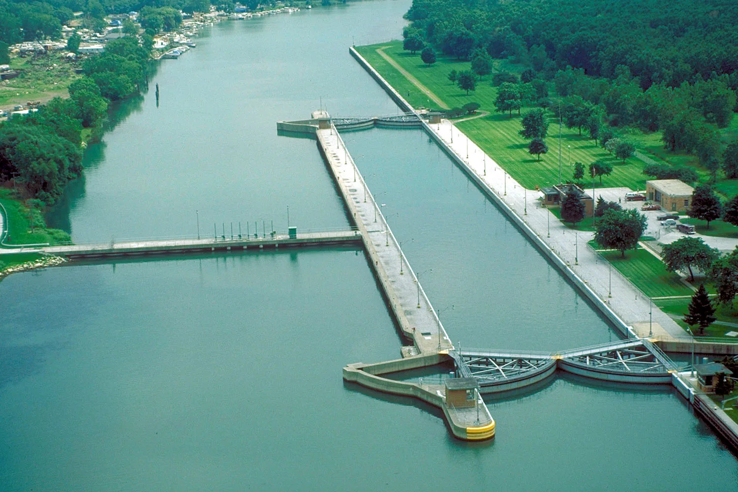
| Length | 12 |
|---|---|
| Elevation | 175 m |
| Located in | Illinois |
| Country | United States |
| Source | Little Calumet River, Grand Calumet River |
| Mouth | St. Lawrence River, Lake Michigan |
| Native name | Calumet River |
 Public transit map Riverdale Legend
| Railway | |
| Bus | |
| Streetcar |
 Bicycle map Riverdale Legend
| Bike path | |
| Bike lane on roadway | |
| Cycling allowed on bus lane | |
| Bicycle street | |
| Open to cyclists | |
| Open to cyclists, good path | |
| Cycling prohibited | |
| Cobblestone |
| Long-distance bike route | (depending on scale) | |
| Long-distance bike route |
 Pedestrian map Riverdale Legend
| Path |
| Long-distance hiking trail | (depending on scale) | |
| Long-distance hiking trail | ||
| Pedestrians prohibited |