
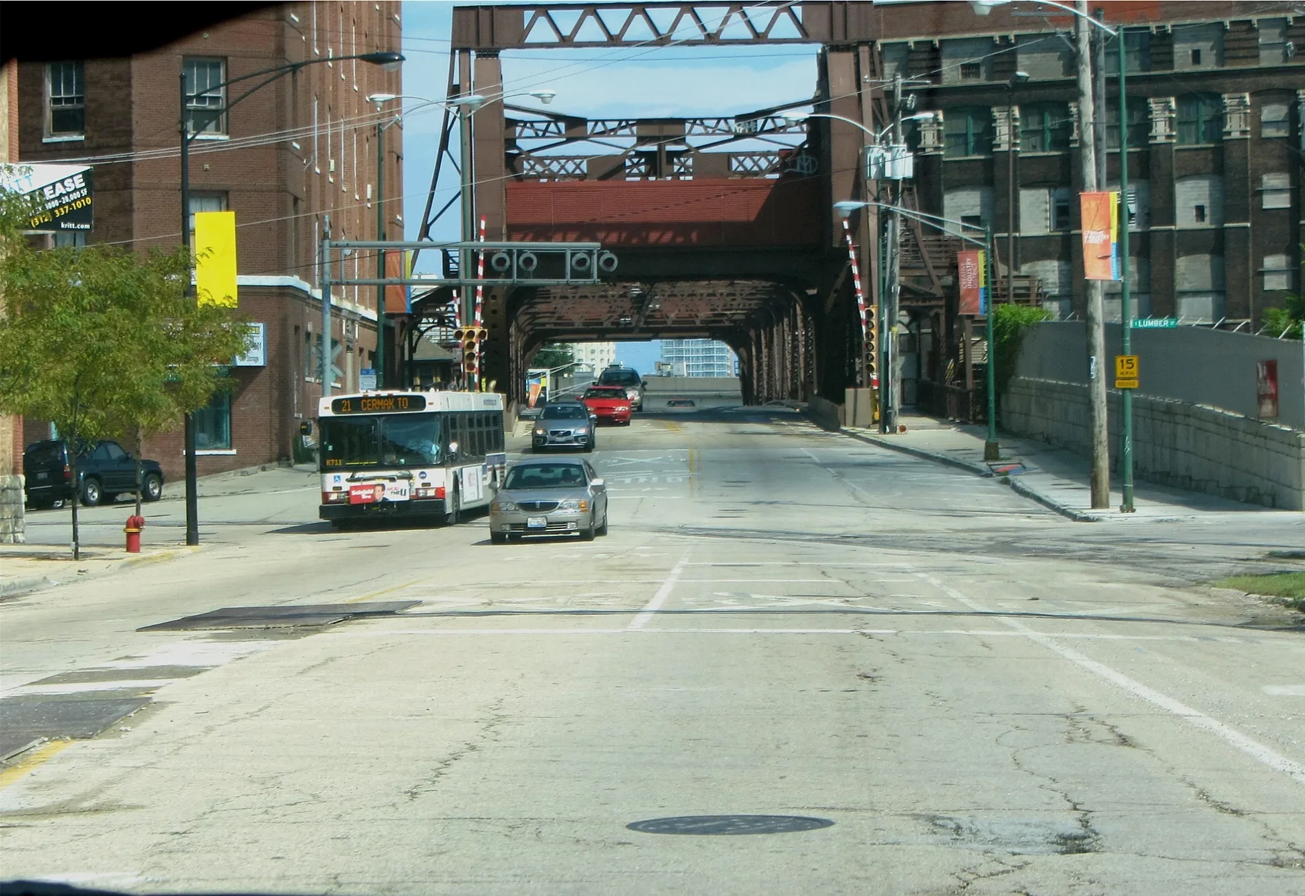
Cermak Road in North Riverside, Illinois
Cermak Road in North Riverside is a three-lane main road. It runs in an east-west direction and crosses 2nd Avenue, South 1st Avenue, 12th Avenue, 11th Avenue, 10th Avenue, 8th Avenue, 7th Avenue, 6th Avenue, 5th Avenue, 4th Avenue and 3rd Avenue. This street is part of the Hiking trail "OBT-6". Nearby you can find among others 2 restaurants, 2 doctor's offices, a fast food restaurant and an ice cream shop. The nearest stops include Cermak & Lathrop, Cermak & Hainsworth, Cermak & 12th Avenue, Cermak & 1st Avenue and North Riverside & Cermak. The bus lines 21 and 322 serve this stop. Cermak Road also exists in Proviso Township. Ⓦ.
- Road Type
- main road
- Lanes
- 3
- Route
- east-west
Bus stops
- bus lines 21, 322
Restaurants
Fast food restaurants
Beauty salons
Streets nearby
1st Avenue Cutoff350 ft
Miller Meadow Flying Field Access Road0.1 mi
Apron AccessMiller Meadow Model Airplane Flying Field
0.1 mi
South 1st AvenueLoyola Outpatient Center, Loyola Maguire Center, Loyola Surgical Pavilion, Loyola Hospital Medical Center, 1st Avenue & Roosevelt
0.2 mi
Air Mail RoadAir Mail & Tripp
0.2 mi
Miller Meadow Trail Yellow Paved Spur (South)Miller Meadow Flying Field Trail Access
0.2 mi
2nd Avenue0.2 mi
Cermak RoadCermak & Newcastle, Cermak & Westchester
0.2 mi
Miller Meadow Blue Paved LoopMiller Meadow-South Trail Access
0.2 mi
Miller Meadow-South Access RoadMiller Meadow-South Grove #8, Miller Meadow-South Trail Access, Miller Meadow-South Grove #7
0.3 mi
Callahan Grove Access Road0.4 mi
17th Street17th Street & 1st Avenue
0.4 mi
4th Avenue0.4 mi
West G Street17th Street & 3rd Avenue
0.4 mi
23rd Street0.4 mi
5th Avenue0.4 mi
24th Street0.4 mi
3rd Avenue0.5 mi
6th Avenue0.5 mi
West 26th Street0.5 mi
Salt Creek Greenway Connector0.5 mi
7th Avenue0.5 mi
Schaller Drive0.6 mi
25th Street0.6 mi
Tripp AvenueTripp & Schaller, Hines Hospital Building 228
0.6 mi
Buildings nearby
Maintenance Storage0.2 mi
Salt Storage0.3 mi
USPFO-IL Warehouse (Bldg 22)0.4 mi
Combined Support Maintenance Shop #2 (Bldg 14)0.4 mi
Laundary Distibution0.5 mi
Riverside Golf Clubhouse0.5 mi
Clinics nearby
Loyola Outpatient Center0.5 mi
Convenience stores nearby
Citgo0.3 mi
Dog parks nearby
Miller Meadow Dog Park0.3 mi
Garages nearby
Motorpool0.2 mi
Hospitals nearby
Mulcahy Center0.5 mi
Industrial areas nearby
Loyola University Health Plant0.5 mi
Locksmiths nearby
Fullmer Locksmith0.4 mi
Mail depots nearby
National Acquisition Center (NAC) / Consolidated Mail Outpaitient Pharmacy (CMOP)0.3 mi
Military areas nearby
Illinois National Guard North Riverside Training Facility and Maintenance Center0.1 mi
Parking lots nearby
Parking Deck C0.4 mi
Parking Deck B0.5 mi
Railways nearby
Freeport Subdivision0.2 mi
Residential buildings nearby
Freedom's Path Housing0.4 mi
Ronald McDonald House0.5 mi
Rivers nearby
Des Plaines River0.3 mi
Shelters nearby
Schuth's Grove Grove #10.4 mi
Patient Revreation Pavilion0.5 mi
Sports centers nearby
Miller Meadow Model Airplane Flying Field0.1 mi
Miller Meadow Drone Flying Area0.2 mi
| Named after | Anton Cermak |
|---|---|
| Located in | Chicago |
| Country | United States |
Public transit map North Riverside Legend
| Railway | |
| Bus | |
| Streetcar |
Bicycle map North Riverside Legend
| Bike path | |
| Bike lane on roadway | |
| Cycling allowed on bus lane | |
| Bicycle street | |
| Open to cyclists | |
| Open to cyclists, good path | |
| Cycling prohibited | |
| Cobblestone |
| Long-distance bike route | (depending on scale) | |
| Long-distance bike route |
Pedestrian map North Riverside Legend
| Path |
| Long-distance hiking trail | (depending on scale) | |
| Long-distance hiking trail | ||
| Pedestrians prohibited |