
Stony Island Avenue in Calumet City, Illinois
Stony Island Avenue in Calumet City is a residential street. It runs in a South direction starting from Dolton Avenue and crosses Cedar Court, Oak Court, Maple Court, State Street and Stewart Avenue and ends at Harding Avenue. Stony Island Avenue also exists in Dolton. Ⓦ.
- Road Type
- residential street
- Route
- north-south
Image
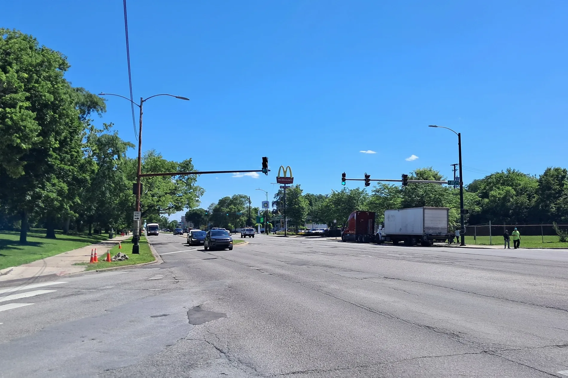
Pawn shops
Pharmacies
Bus stops
Fast food restaurants
Attractions
Cell phone stores
Schools
Streets nearby
Oak Court400 ft
Cedar Court550 ft
Harper Avenue550 ft
Cornell Avenue0.1 mi
Maple Court0.2 mi
Allan Lane0.2 mi
Madison Avenue0.2 mi
State StreetChu's China Bistro, Metro by T-Mobile, Sharks Fish and Chicken
0.2 mi
Dawn Lane0.2 mi
Jennifer Lane0.3 mi
Timothy Lane0.3 mi
Patton Lane0.3 mi
Twilight Lane0.3 mi
Dante Avenue0.3 mi
Dolton Avenue0.3 mi
Dorchester Avenue0.3 mi
Prairie Avenue0.3 mi
Kenwood Avenue0.4 mi
East 147th StreetMLK Drive & 147th Street
0.4 mi
East Dolton Avenue0.4 mi
Kasten Drive0.4 mi
Bishop Ford Freeway0.4 mi
East 146th Street0.4 mi
Chappel Avenue0.4 mi
Kimbark Avenue0.5 mi
Harding Avenue0.5 mi
East 142nd Street0.5 mi
Avalon Avenue0.5 mi
Jeffery Avenue0.5 mi
East 148th StreetIndiana & 148th Street
0.5 mi
East 145th Street0.6 mi
Shepard Drive0.6 mi
East Sibley Boulevard0.6 mi
Sibley BoulevardSibley & Torrence, Sibley & Wentworth, Sibley & Forsythe, Sibley & Burnham, Sibley & Price, Sibley & Hirsch, Sibley & Escanaba, Sibley & Manistee, Sibley & State Line, Sibley & Harrison, Subway, Sibley & Madison, Sibley & Calhoun, Sibley & Paxton, Sibley & Crandon, Metro by T-Mobile, Sibley & Yates, Sibley & Clyde, EZPAWN, Harold's Chicken Shack, Sibley & Superior, Sibley & Mackinaw, Sibley & Campbell, Domino's
0.6 mi
East End Avenue0.6 mi
Lincoln AvenueDolton, CP I916, Lincoln/Leyden & 138th Street, Park & Lincoln, Lincoln & Claussen, Lincoln & Forest, Lincoln & Park, Lorimer School, Lincoln & MLK Drive
0.6 mi
Blackstone Avenue0.7 mi
Banks nearby
U.S. Bank0.6 mi
Car washes nearby
Mobil0.6 mi
Convenience stores nearby
Mobil Mart0.6 mi
Fast food restaurants nearby
White Castle0.6 mi
Gas stations nearby
Shell0.6 mi
760.6 mi
Hardware stores nearby
Menards0.5 mi
Money transfer services nearby
Western Union0.6 mi
Parks nearby
Blackstone Park0.2 mi
Downey Park0.4 mi
Restaurants nearby
St Patrick's Place0.7 mi
Supermarkets nearby
Pete's Market0.5 mi
| Located in | Illinois |
|---|---|
| Country | United States |
Public transit map Calumet City Legend
| Railway | |
| Bus | |
| Streetcar |
Bicycle map Calumet City Legend
| Bike path | |
| Bike lane on roadway | |
| Cycling allowed on bus lane | |
| Bicycle street | |
| Open to cyclists | |
| Open to cyclists, good path | |
| Cycling prohibited | |
| Cobblestone |
| Long-distance bike route | (depending on scale) | |
| Long-distance bike route |
Pedestrian map Calumet City Legend
| Path |
| Long-distance hiking trail | (depending on scale) | |
| Long-distance hiking trail | ||
| Pedestrians prohibited |