
LaSalle Street in Dolton, Illinois
LaSalle Street in Dolton is a residential street. It runs in a north-south direction starting from West 148th Street and crosses West 149th Street. It ends in a cul-de-sac. Ⓦ.
- Road Type
- residential street
- Route
- north-south
Bus stops
Streets nearby
North Riverside Drive0.1 mi
Wentworth Avenue0.1 mi
West 149th Street0.1 mi
Clark Street0.1 mi
West 148th Place0.2 mi
East Riverside Drive0.2 mi
Dearborn Street0.2 mi
West 148th Street0.2 mi
Perry Avenue0.2 mi
Markham Drive0.2 mi
West Sibley BoulevardSibley & 147th Street Metra Station, Sibley & Wallace, Sibley & Markham/LaSalle, Sibley & LaSalle/Markham
0.2 mi
West Riverside Drive0.2 mi
East 147th Place0.2 mi
State Street0.2 mi
Parkside Drive0.2 mi
West 147th Street0.3 mi
Wabash Avenue0.3 mi
East 149th Street0.3 mi
East 148th Place0.3 mi
Princeton Avenue0.3 mi
Michigan Avenue0.3 mi
East 148th StreetIndiana & 148th Street
0.3 mi
East Sibley BoulevardSibley & Michigan, Western Union, Sibley & Indiana/State, Sibley & State, Sibley & MLK Drive, Sibley & Evers, Sibley & Greenwood, Checkers, Circle K, Amazing Touch Dental, Sibley & Irving, Sibley & Woodlawn, Walgreens, Baskin-Robbins, Metro by T-Mobile, Sibley & Langley, Sibley & Cottage Grove, Sibley & Dorchester, Sibley & Michigan City/Lincoln
0.4 mi
Atlantic Avenue0.4 mi
Forest View Lane0.4 mi
West 146th Street0.4 mi
Edbrooke Avenue0.4 mi
Givines CourtBeggars Pizza
0.4 mi
Harvard Street0.4 mi
Wallace Street0.4 mi
East 147th StreetMLK Drive & 147th Street
0.4 mi
South Atlantic AvenueJJ Fish and Chicken
0.4 mi
West 145th Place0.5 mi
South School Street0.5 mi
Park Avenue147th Street (Sibley Boulevard), Park & 152nd Street, Ventra, Metra, Park & 157th Street, Harvey, Park & 155th Street, Park & Turlington, Park & 159th Street, Pace Harvey Transportation Center
0.5 mi
South Illinois StreetRiverdale, Metra
0.5 mi
South Wentworth Avenue0.5 mi
Convenience stores nearby
Citgo0.3 mi
Fast food restaurants nearby
McDonald's0.2 mi
Dunkin'0.2 mi
Gas stations nearby
Marathon0.3 mi
Parks nearby
Town & Country Park0.2 mi
Riverside Park0.4 mi
Pawn shops nearby
EZPAWN0.2 mi
Railways nearby
Chicago Subdivision0.5 mi
University Park Sub District0.5 mi
Retail areas nearby
Sahloul Center0.3 mi
School buildings nearby
Former Field Elementary School0.3 mi
Brooks Middle School0.3 mi
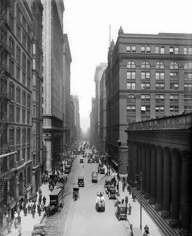
| Named after | René-Robert Cavelier, Sieur de La Salle |
|---|---|
| Located in | Chicago |
| Country | United States |
| Has part | North LaSalle Street, South LaSalle Street |
Public transit map Dolton Legend
| Railway | |
| Bus | |
| Streetcar |
Bicycle map Dolton Legend
| Bike path | |
| Bike lane on roadway | |
| Cycling allowed on bus lane | |
| Bicycle street | |
| Open to cyclists | |
| Open to cyclists, good path | |
| Cycling prohibited | |
| Cobblestone |
| Long-distance bike route | (depending on scale) | |
| Long-distance bike route |
Pedestrian map Dolton Legend
| Path |
| Long-distance hiking trail | (depending on scale) | |
| Long-distance hiking trail | ||
| Pedestrians prohibited |