
Ashland Avenue in East Hazel Crest, Illinois
Ashland Avenue in East Hazel Crest is a local road. It runs in a north-south direction starting from 171st Street and crosses 172nd Street, 173rd Street and 174th Street. It ends in a cul-de-sac. Ashland Avenue is also known as Ashland Ave.. Ashland Avenue also exists in Proviso Township, Leyden Township, Evanston Township, Hanover Township and New Trier Township. Ⓦ.
- Road Type
- local road
- Route
- north-south
Image
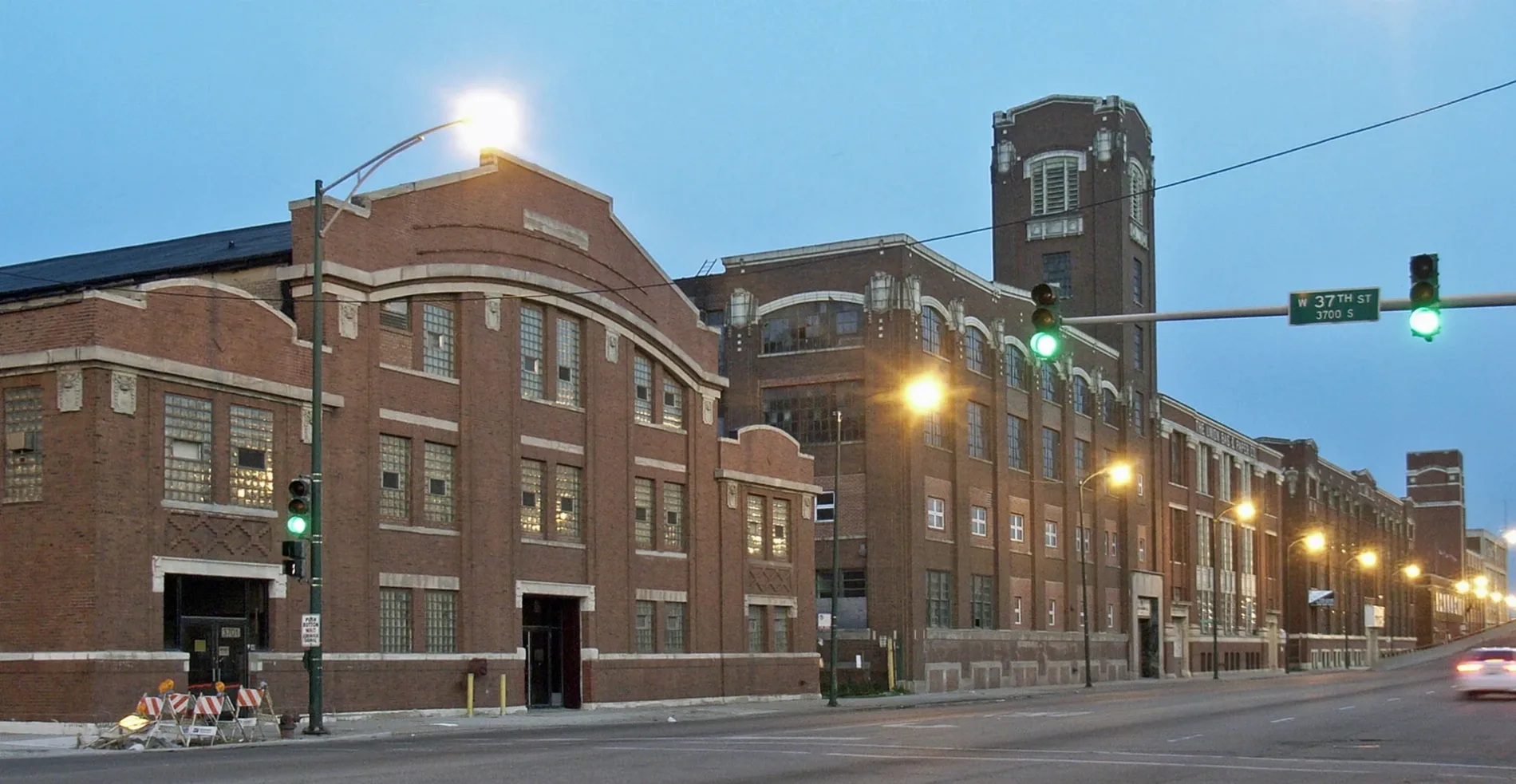
Town halls
Self storages
Bus stops
Schools
Places of worship
Vending machines
Platforms
Stations
Fast food restaurants
Streets nearby
Laflin Avenue0.2 mi
171st Street0.3 mi
Loomis Avenue0.3 mi
172nd PlaceWood & 172nd Street
0.3 mi
Wood StreetWood & 172nd Street
0.3 mi
Park AvenueHazel Crest, Metra
0.3 mi
Tri-State TollwayHalstead Street Toll Plaza
0.3 mi
172nd Street0.3 mi
Governors HighwayCalumet Metra Station
0.4 mi
Hawthorne Drive0.4 mi
Country Lane0.4 mi
174th StreetEast Hazel Crest Village Hall, East Hazel Crest, Old Lincoln School
0.4 mi
Throop Street0.4 mi
175th Street0.4 mi
173rd StreetEast Hazel Crest Bible Church
0.4 mi
170th StreetI 80 Eastbound Toll Plaza
0.4 mi
Cheker Square0.5 mi
Forestway Drive0.5 mi
Center Avenue0.5 mi
Jodave Avenue0.5 mi
Maple Road0.5 mi
Paulina Avenue0.5 mi
Lincoln StreetSouth Harvey
0.6 mi
Page AvenueAmerican Legion Hall
0.6 mi
Winchester Avenue0.6 mi
Charleston Lane0.6 mi
169th Street0.6 mi
Dixie HighwayDixie Hwy & Elm, Dixie Highway, Dixie Hwy & Ridge, Dixie Hwy & 175th Street, Dixie Hwy & Maple, Dixie Hwy & 183rd Street, Dixie Hwy & Cedar, Homewood
0.6 mi
Ashland AvenueSalem School, Salem Lutheran Church
0.6 mi
Harwood AvenueDomino's, Harwood & 183rd Street, Homewood Metra Station
0.6 mi
Gladville Avenue0.6 mi
Tienstra Court0.6 mi
Sycamore Drive0.6 mi
168th Street0.7 mi
Highland Avenue0.7 mi
Cedar Road0.7 mi
Shea Avenue0.7 mi
Convenience stores nearby
Mobil Mart0.6 mi
Educational areas nearby
Hazel Crest School District 152.50.6 mi
Fast food restaurants nearby
A.P. Deli0.6 mi
Boz Hot Dogs0.6 mi
Fire stations nearby
East Hazel Crest Fire Department0.4 mi
Gas stations nearby
Marathon0.5 mi
Parks nearby
Izaak Walton Preserve0.6 mi
Cedar Park0.7 mi
Railways nearby
Chicago Subdivision0.3 mi
University Park Sub District0.4 mi
Retail areas nearby
Dixie Commons0.5 mi
Streams nearby
Cherry Creek0.7 mi
Train stations nearby
Hazel Crest0.4 mi
| Named after | Ashland |
|---|---|
| Located in | Chicago |
| Country | United States |
Public transit map East Hazel Crest Legend
| Railway | |
| Bus | |
| Streetcar |
Bicycle map East Hazel Crest Legend
| Bike path | |
| Bike lane on roadway | |
| Cycling allowed on bus lane | |
| Bicycle street | |
| Open to cyclists | |
| Open to cyclists, good path | |
| Cycling prohibited | |
| Cobblestone |
| Long-distance bike route | (depending on scale) | |
| Long-distance bike route |
Pedestrian map East Hazel Crest Legend
| Path |
| Long-distance hiking trail | (depending on scale) | |
| Long-distance hiking trail | ||
| Pedestrians prohibited |