
South Ashland Avenue in Riverdale, Illinois
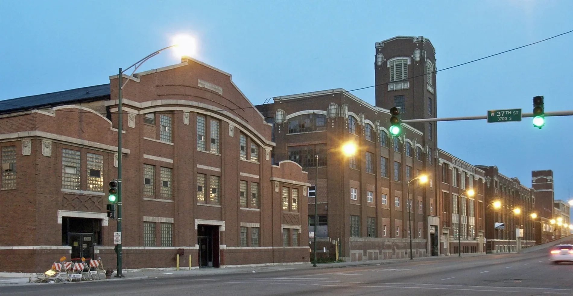
South Ashland Avenue in Riverdale is a five-lane, asphalted secondary road. It runs in a north-south direction starting from Charles Drive and crosses West 138th Street. It ends in a cul-de-sac. South Ashland Avenue is also known as Ashland Ave.. South Ashland Avenue also exists in Dixmoor. Ⓦ.
- Road Type
- building under construction
- Lanes
- 5
- Route
- north-south
Image
Fire stations
Places of worship
Bus stops
Picnic areas
Fast food restaurants
Police stations
Streets nearby
Thornton Road0.3 mi
Charles Drive0.4 mi
Jackson Street0.5 mi
Wood StreetDixmoor
0.5 mi
Rolls Avenue0.6 mi
West 139th Street0.6 mi
141st Street0.6 mi
West 141st Street0.7 mi
Canal Street0.7 mi
Leavitt Avenue0.7 mi
West Circle Drive0.7 mi
Aulwurm Drive0.7 mi
Marshfield Avenue0.7 mi
Schmidt Drive0.7 mi
South Circle Drive0.7 mi
Division Street0.7 mi
West 142nd Street0.8 mi
Water Street0.8 mi
Winchester Avenue0.8 mi
Honore Avenue0.8 mi
West Lawson Lane0.8 mi
Market Street0.8 mi
Lincoln Avenue0.8 mi
Seeley Avenue0.8 mi
Kott Street0.8 mi
Page Avenue0.8 mi
South Ashland Avenue0.8 mi
Cal-Sag Trail0.9 mi
Auto parts stores nearby
ABC Auto Parts0.2 mi
Buildings nearby
CSX Yard Office0.4 mi
Golf courses nearby
Joe Louis "The Champ" Golf Course0.6 mi
Industrial areas nearby
Chicago Magnesium Casting0.6 mi
Industrial buildings nearby
IHB Hump Tower0.2 mi
Picnic areas nearby
Calumet Woods Picnic Shelter Grove 10.5 mi
Dixmoor Playfield Picnic Shelter Grove 10.5 mi
Railways nearby
Indiana Harbor Belt Mainline0.1 mi
IHB0.2 mi
South Lead0.2 mi
Middle Lead0.2 mi
North Lead0.2 mi
South Open0.4 mi
North Open0.4 mi
Work Lead0.5 mi
Barr Subdivision0.5 mi
Recycling centers nearby
Tri-State Disposal0.1 mi
Rivers nearby
Little Calumet River0.6 mi
Social facilities nearby
Senior Suites of Fay’s Point0.8 mi
Prairie Green at Fay's Point0.8 mi
Waters nearby
Cal-Sag Channel0.8 mi
Other nearby
ComEd Blue Island 138kV-345kV Substation0.4 mi
| Named after | Ashland |
|---|---|
| Located in | Chicago |
| Country | United States |
Public transit map Riverdale Legend
| Railway | |
| Bus | |
| Streetcar |
Bicycle map Riverdale Legend
| Bike path | |
| Bike lane on roadway | |
| Cycling allowed on bus lane | |
| Bicycle street | |
| Open to cyclists | |
| Open to cyclists, good path | |
| Cycling prohibited | |
| Cobblestone |
| Long-distance bike route | (depending on scale) | |
| Long-distance bike route |
Pedestrian map Riverdale Legend
| Path |
| Long-distance hiking trail | (depending on scale) | |
| Long-distance hiking trail | ||
| Pedestrians prohibited |