
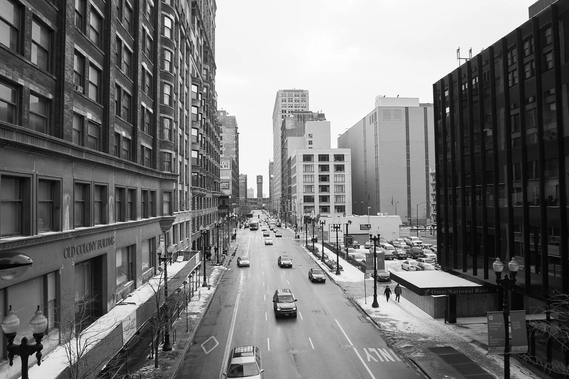
South Dearborn Street in Riverdale, Illinois
South Dearborn Street in Riverdale is a residential street. It runs in a north-south direction starting from West 138th Street and crosses West 139th Street and ends at West 140th Street. South Dearborn Street is also known as Dearborn St.. Ⓦ.
- Road Type
- residential street
- Route
- north-south
Bus stops
Platforms
Stations
Schools
Banks
Streets nearby
South Clark StreetSatellite School
350 ft
South LaSalle Street0.2 mi
East 139th Street0.2 mi
East 138th Street0.2 mi
East 140th Court0.2 mi
South Illinois StreetRiverdale, Metra
0.2 mi
West 137th Place0.2 mi
South State Street0.2 mi
East 140th Street0.2 mi
South Wabash Avenue138th Street & Wabash/Michigan, 138th Street & Wabash
0.2 mi
South Wentworth Avenue0.2 mi
West 139th Street0.2 mi
South Edbrooke Avenue0.3 mi
East 137th Place0.3 mi
West 141st Street0.3 mi
West 138th Street138th Street & School, 138th Street & Wentworth, 138th Street & Illinois (Metra), 138th Street & Dearborn, Harold's Chicken Shack, 138th Street & Emerald, 138th Street & Wallace, 138th Street & Eggleston, Riverdale
0.3 mi
140th Court0.3 mi
East 140th Place0.3 mi
South Michigan Avenue0.3 mi
West 140th StreetSchool Street
0.3 mi
South School Street0.3 mi
East 141st StreetIndiana & 141st Street
0.3 mi
West 136th Street0.3 mi
East 136th Street0.3 mi
South Highlawn Avenue0.3 mi
East 137th Street0.3 mi
West Ivanhoe Terrace0.3 mi
South Atlantic AvenueJJ Fish and Chicken
0.4 mi
South Indiana AvenueIndiana & 138th Street, Indiana & 130th Street, Indiana & 133rd Street, Indiana & 132nd Street, Indiana & 134th Street, Riverdale Bus Turnaround
0.4 mi
South Tracy Avenue0.4 mi
West 137th StreetRiverdale
0.4 mi
Blue Island Road0.4 mi
Apartment buildings nearby
Riverdale Senior Housing0.3 mi
Community centers nearby
Memorial Field House0.3 mi
Parks nearby
Riverdale Park0.3 mi
Mohawk Park0.4 mi
Places of worship nearby
Riverdale Bible Church0.1 mi
Our Saviors Lutheran Church0.2 mi
Public buildings nearby
Reitz Building0.2 mi
Railways nearby
University Park Sub District0.1 mi
Indiana Harbor Belt Mainline0.3 mi
NS Bernice Running Track (Bottle Connection)0.3 mi
IHB RR 5 Lead0.3 mi
Bernice Running Track0.4 mi
Barr Subdivision0.4 mi
Westway Terminal0.4 mi
Chicago Subdivision0.4 mi
Residential areas nearby
Riverwood Condos0.4 mi
Service buildings nearby
Metra Riverdale Substation0.4 mi
| Named after | Fort Dearborn |
|---|---|
| Located in | Chicago |
| Country | United States |
Public transit map Riverdale Legend
| Railway | |
| Bus | |
| Streetcar |
Bicycle map Riverdale Legend
| Bike path | |
| Bike lane on roadway | |
| Cycling allowed on bus lane | |
| Bicycle street | |
| Open to cyclists | |
| Open to cyclists, good path | |
| Cycling prohibited | |
| Cobblestone |
| Long-distance bike route | (depending on scale) | |
| Long-distance bike route |
Pedestrian map Riverdale Legend
| Path |
| Long-distance hiking trail | (depending on scale) | |
| Long-distance hiking trail | ||
| Pedestrians prohibited |