
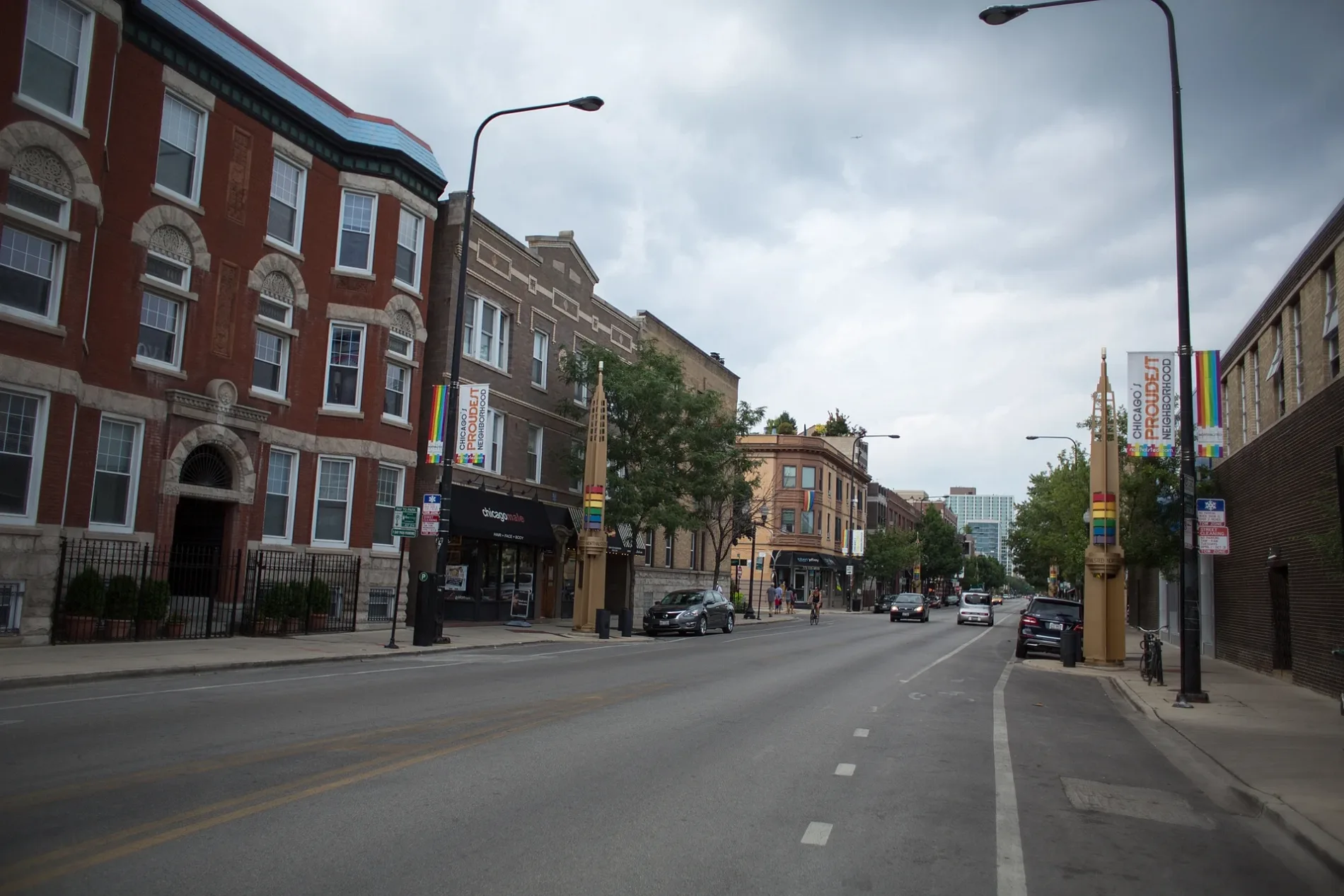
South Halsted Street in Riverdale, Illinois
South Halsted Street in Riverdale is a four-lane main road (Road number IL 1) and crosses a bridge. It runs in a north-south direction and ends at Halsted Street, while the other end is a cul-de-sac. South Halsted Street is also known as Halsted St. This street is part of the highway "1". South Halsted Street also exists in Bloom Township, Calumet Township and Hyde Park Township. Ⓦ.
- Road Type
- main road
- Speed Limit
- 40 mph
- Lanes
- 4
- Route
- north-south
Image
Police stations
Platforms
- bus lines 348, 352
Vending machines
Bus stops
- bus lines 348, 352
Picnic areas
Fire stations
Fast food restaurants
Stations
- bus lines 348, 352
Streets nearby
West 129th PlaceHalsted & 129th Street
500 ft
Halsted StreetHalsted & Forest View/134th Street, Halsted & 145th Street (Riverdale), Halsted & 146th Street/Shore, Halsted & 138th Street, Halsted & 144th Street, Halsted & 142nd Street/Loeffel
0.1 mi
Cal-Sag TrailHalsted & 134th Street/Forest View, Riverdale Police Department, Riverdale Fire Department, 138th Street & Union
0.2 mi
South Green StreetWest Pullman, Metra
0.3 mi
South Peoria Street0.3 mi
West 128th PlaceHalsted & 128th Place
0.3 mi
South Sangamon Street0.3 mi
129th Place0.3 mi
South Morgan Street0.4 mi
South Normal Avenue0.4 mi
South Union Avenue0.4 mi
Forest View Avenue0.4 mi
Carpenter Street0.4 mi
West 127th Street127th Street & Emerald, Dupe's Auto Enterprises, 127th Street & Halsted
0.4 mi
West Vermont StreetVermont & Halsted, Vermont & Union
0.4 mi
West 128th Street0.4 mi
South Eggleston AvenueEggleston Ave & 115th St, Stewart Ridge, Hyde Park African Methodist Episcopal Church
0.4 mi
Major Taylor TrailWhistler Woods Picnic Grove 2, Whistler Woods Picnic Grove 1
0.5 mi
West 127th Place0.5 mi
May Street0.5 mi
West 134th Street0.5 mi
Aberdeen Street0.5 mi
127th Place0.5 mi
West 126th Street0.6 mi
South Emerald Avenue0.6 mi
South Wallace StreetHoly Trinity Community Church
0.6 mi
Acme DriveCSX Barr Locomotive Shops
0.6 mi
Blue Island-Riverdale Road0.6 mi
West 126th Place0.6 mi
West 125th StreetCookes Subdivision
0.7 mi
South Lowe AvenueLowe & 127th Street, West Pullman
0.7 mi
Industrial Drive0.7 mi
Union Avenue0.7 mi
South Stewart AvenueAndrews and Hurds Subdivision, Gano, Stewart Ridge
0.7 mi
West 125th Place0.7 mi
South Parnell Avenue0.8 mi
West 136th Street0.8 mi
West 136th Place0.8 mi
Fast food restaurants nearby
Harold's Chicken Shack0.4 mi
Forests nearby
Mittal Woods0.6 mi
Industrial areas nearby
National Processing Co.0.5 mi
Industrial buildings nearby
A. Lopez Truck Tire Service Inc.0.5 mi
Nature reserves nearby
Whistler Woods0.5 mi
Park No. 5950.5 mi
Places of worship nearby
Foster Park Church of Christ0.3 mi
Railways nearby
Barr Subdivision0.5 mi
ACME Steel0.6 mi
Retail areas nearby
Halsted/Vermont Plaza0.3 mi
Variety stores nearby
Dollar General0.5 mi
| Named after | Caleb O. Halsted |
|---|---|
| Located in | Chicago |
| Country | United States |
Public transit map Riverdale Legend
| Railway | |
| Bus | |
| Streetcar |
Bicycle map Riverdale Legend
| Bike path | |
| Bike lane on roadway | |
| Cycling allowed on bus lane | |
| Bicycle street | |
| Open to cyclists | |
| Open to cyclists, good path | |
| Cycling prohibited | |
| Cobblestone |
| Long-distance bike route | (depending on scale) | |
| Long-distance bike route |
Pedestrian map Riverdale Legend
| Path |
| Long-distance hiking trail | (depending on scale) | |
| Long-distance hiking trail | ||
| Pedestrians prohibited |