
Michigan Avenue in South Holland, Illinois
Michigan Avenue in South Holland is a residential street. It runs in a north-south direction and crosses East 159th Place and East 160th Place and ends at East 162nd Street, while the other end is a cul-de-sac. Michigan Avenue also exists in Dolton. Ⓦ.
- Road Type
- residential street
- Route
- north-south
Bus stops
Ice cream shops
Places of worship
Car rentals
Fire stations
Banks
Post offices
Fast food restaurants
Town halls
Dry cleaners
Pharmacies
Cell phone stores
Streets nearby
East 160th Place300 ft
East 159th Place0.1 mi
East 160th Street0.2 mi
Wausau AvenueSouth Holland Fire Department
0.2 mi
East 162nd Lane0.2 mi
East 159th Street0.2 mi
State StreetState & 162nd Street, State & 164th Street, Wingstop, Subway, Enterprise, State & 154th Street, Church of Christ, South Suburban College, Indiana & Sibley
0.2 mi
Wabash AvenueSandridge School
0.2 mi
West 162nd Street0.3 mi
East 162nd Place0.3 mi
Woodlawn West AvenueCP I020 162nd Street
0.3 mi
East 161st PlaceWalgreens, Bethany Christian Reformed Church, True Reformed Church
0.3 mi
East 163rd Street0.3 mi
East 162nd StreetChase, 159th Street, South Holland, 162nd Street & South Park, South Holland Village Hall, 162nd Street & Wausau, 162nd Street & Woodlawn West, 162nd Street & Prairie, 162nd Street & Woodlawn, 162nd Street & Cottage Grove, Subway, Family Dollar, Cunis Candies, Harold's Chicken Shack, Excel Printing & Mailing, The UPS Store, T-Mobile, Pizza Hut Delivery, Baskin-Robbins, CD One Price Cleaners, 162nd Street & Ellis, Chipotle, 162nd Street & School
0.3 mi
South Park AvenueSouth Park & 171st Place, Thornton Junction, Reformed Church
0.3 mi
Prairie Avenue0.3 mi
East 161st Street0.3 mi
Louis AvenueSouth Holland Police Department
0.4 mi
Veterans Park Drive0.4 mi
164th Street0.4 mi
Lowell Avenue0.4 mi
Auto repair shops nearby
Meineke0.2 mi
Buildings nearby
South Tower / Yard Office0.3 mi
Cafes nearby
Starbucks0.4 mi
Convenience stores nearby
Mobil Mart0.3 mi
Drugstores nearby
Walgreens0.3 mi
Fast food restaurants nearby
Panera Bread0.2 mi
Burger King0.4 mi
Gas stations nearby
Shell0.2 mi
Mobil0.3 mi
Libraries nearby
South Holland Public Libary0.3 mi
Parks nearby
DeYoung's Grove Park0.3 mi
Roosevelt Park0.3 mi
Wigwam Park0.3 mi
Veterans Park0.4 mi
Places of worship nearby
First Reformed Church0.3 mi
First Christian Reformed Church0.4 mi
Post offices nearby
South Holland Post Office0.4 mi
Railways nearby
Yard Lead450 ft
West Lead500 ft
Villa Grove Subdivision0.3 mi
Middle Yard Lead0.3 mi
Middle Lead0.4 mi
Retail areas nearby
State Street Center0.2 mi
Hamra Plaza0.3 mi
Town Center Commons0.3 mi
South Park Center0.4 mi
Streams nearby
Calumet Union Drainage Ditch0.2 mi
Town halls nearby
Thornton Township Hall0.3 mi
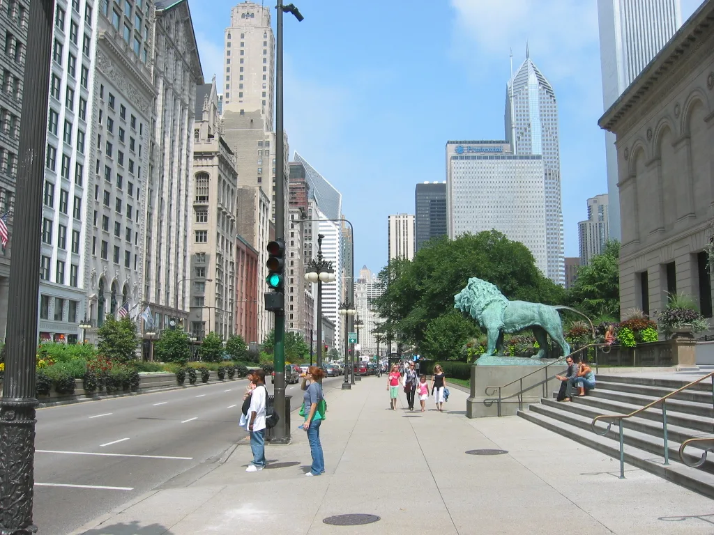
| Named after | Michigan |
|---|---|
| Located in | Chicago, Chicago Loop, South Loop, River North Gallery District |
| Country | United States |
| Has part | Magnificent Mile |
Public transit map South Holland Legend
| Railway | |
| Bus | |
| Streetcar |
Bicycle map South Holland Legend
| Bike path | |
| Bike lane on roadway | |
| Cycling allowed on bus lane | |
| Bicycle street | |
| Open to cyclists | |
| Open to cyclists, good path | |
| Cycling prohibited | |
| Cobblestone |
| Long-distance bike route | (depending on scale) | |
| Long-distance bike route |
Pedestrian map South Holland Legend
| Path |
| Long-distance hiking trail | (depending on scale) | |
| Long-distance hiking trail | ||
| Pedestrians prohibited |