
East Devon Avenue in Roselle, Illinois
East Devon Avenue in Roselle is a residential street. It runs in an east-west direction and crosses North Roselle Road, West Devon Avenue, Springwood Drive, Lakeside Drive, Hillside Drive, Countryside Drive, Ambleside Drive, Ventura Club Drive, Club House Circle, Forum Drive and Circle Drive and ends at Devon Avenue. East Devon Avenue is also known as Devon. This street is part of the Bicycle route "Roselle Bikeways". East Devon Avenue also exists in Hanover Park. Ⓦ.
- Road Type
- residential street
- Route
- east-west
Image
Platforms
Vending machines
Pubs
Places of worship
Beauty salons
Doctor's offices
Fast food restaurants
Stations
ATMs
Supermarkets
Banks
Police stations
Tobacco shops
Restaurants
Hair salons
- Velarde Salon & Spa Inc. (opening hours: Sun–Mon closed, Tu-We 9–20; Thu 11–20; Fri 9–17; Sat 8–16) at N Bokelman St 54 (60172). Velarde Salon & Spa, founded in 2000 in Roselle, IL, proudly serves Roselle and the neighboring communities. Specializing in becoming an all-vegan, cruelty-free, and chemical-free salon, we offer hand-tied and weft extensions, haircuts, color, and more. – approx. 0.7 mi.
Hardware stores
Town halls
Dentist offices
Cafes
Game stores
Streets nearby
Forum Drive350 ft
Club House Circle550 ft
High Point Court0.1 mi
Woodfield Trail0.1 mi
East Woodfield Trail0.1 mi
Lakeview Court0.2 mi
Ambleside Drive0.2 mi
Ventura Club Drive0.2 mi
White Sands Bay0.2 mi
Isle Royal Bay0.2 mi
East Granville Avenue0.2 mi
Elgin-O'Hare TollwayPlum Grove Road
0.2 mi
David Street0.2 mi
Countryside Drive0.2 mi
Sequoia Trail0.2 mi
Shadow Lake Bay0.3 mi
Parkview Court0.3 mi
Cherry Court0.3 mi
Yosemite Court0.3 mi
North Woodfield Trail0.3 mi
Circle Drive0.3 mi
Eden Court0.3 mi
Dee Lane0.3 mi
Yosemite Trail0.3 mi
Carlsbad Trail0.3 mi
Devon Avenue0.3 mi
Hillside Drive0.3 mi
Canterbury Trail0.3 mi
Conway Bay0.3 mi
Portwine Drive0.4 mi
Town Acres Lane0.4 mi
Cherry Street0.4 mi
North Plum Grove Road0.4 mi
High Ridge Road0.4 mi
Century Drive0.5 mi
Lake Shore Drive0.5 mi
Golf View Drive0.5 mi
Salt Creek Road0.5 mi
Lake Pointe Drive0.5 mi
Rose Drive East0.5 mi
Park Lane0.5 mi
Lawrence Avenue0.5 mi
Terry Drive0.5 mi
Morningside Court0.5 mi
Apartment buildings nearby
Chateau Roselle0.5 mi
Banks nearby
BMO0.5 mi
Buildings nearby
Spizz Crib0.2 mi
Parks nearby
Lions Park0.5 mi
Streams nearby
Meacham Creek0.3 mi
| Named after | Devon |
|---|---|
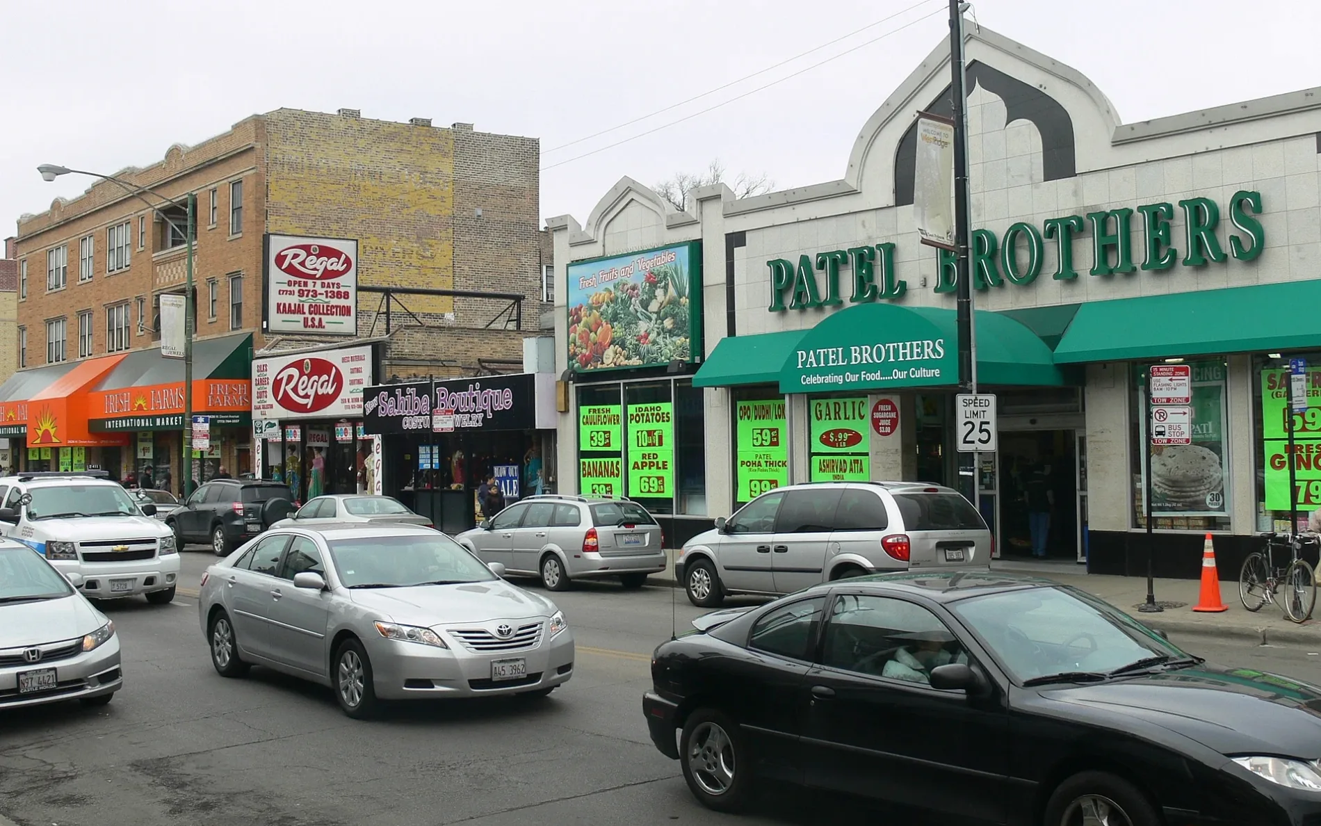
| Located in | Chicago, West Ridge |
| Postal code | 60645 |
| Country | United States |
Public transit map Roselle Legend
| Railway | |
| Bus | |
| Streetcar |
Bicycle map Roselle Legend
| Bike path | |
| Bike lane on roadway | |
| Cycling allowed on bus lane | |
| Bicycle street | |
| Open to cyclists | |
| Open to cyclists, good path | |
| Cycling prohibited | |
| Cobblestone |
| Long-distance bike route | (depending on scale) | |
| Long-distance bike route |
Pedestrian map Roselle Legend
| Path |
| Long-distance hiking trail | (depending on scale) | |
| Long-distance hiking trail | ||
| Pedestrians prohibited |