
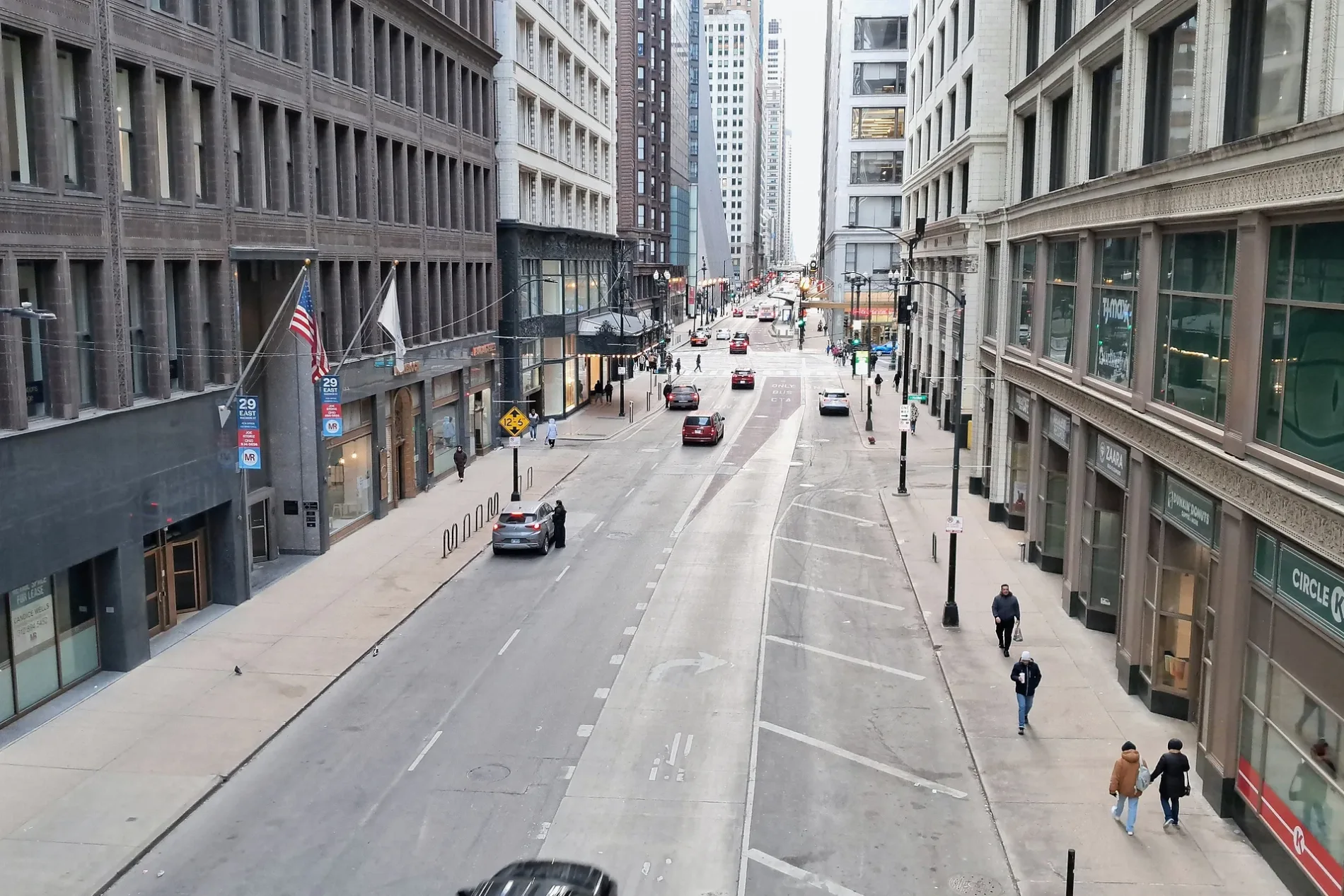
East Madison Street in Villa Park, Illinois
East Madison Street in Villa Park is a residential street. It runs in an east-west direction starting from West Madison Street and crosses South Ardmore Avenue, South Cornell Avenue, South Illinois Avenue, South Summit Avenue, South Euclid Avenue, Myrtle Avenue, South Villa Avenue, South Oakland Avenue, South Monterey Avenue and South Riverside Drive. It ends in a cul-de-sac. East Madison Street is also known as 0 N/S. East Madison Street also exists in Lombard. Ⓦ.
- Road Type
- residential street
- Postal Code
- 60181
- Route
- east-west
Image
Schools
Police stations
Pharmacies
Platforms
Places of worship
Electronics stores
Kindergartens
Doctor's offices
Stations
Pubs
Garden centers
Jewelry stores
Auto parts stores
Town halls
Rental services
Dentist offices
Streets nearby
Kingery Highway300 ft
Frontage Road350 ft
West Monroe Street0.1 mi
East Washington Street0.3 mi
Salt Creek Greenway Trail0.3 mi
West Van Buren Street0.4 mi
Fairview Avenue0.4 mi
Van Buren Street0.4 mi
Myrtle Avenue0.4 mi
West Crescent Avenue0.5 mi
Terry Lane0.5 mi
Riverside Drive0.5 mi
Julia Drive0.5 mi
South Riverside Drive0.5 mi
South Villa AvenueMahoney’s Pub
0.5 mi
East Harrison Street0.5 mi
South Euclid Avenue0.5 mi
Calduto Circle0.5 mi
West Vallette StreetEpiphany Evangelical Lutheran Church
0.6 mi
South Oakland AvenueThe Jewelry Exchange in Villa Park
0.6 mi
East Monroe Street0.6 mi
Cross Street0.6 mi
Grant Avenue0.6 mi
South Rex Boulevard0.6 mi
East Lane Drive0.6 mi
Frank Street0.6 mi
South Sunnyside Avenue0.6 mi
Riverside Court0.6 mi
Harrison Street0.7 mi
East Highland AvenueCommunity Congregational Church, West Suburban Hispanic Church, Calvary United Methodist Church
0.7 mi
South Summit Avenue0.7 mi
East Park Boulevard0.7 mi
Prairie Path Lane0.7 mi
Crescent Drive0.8 mi
South Myrtle Avenue0.8 mi
Astor Court0.8 mi
South Monterey Avenue0.8 mi
Illinois Prairie Path0.8 mi
East Fairfield Avenue0.8 mi
Buildings nearby
Blower Building0.4 mi
Golf courses nearby
Sugar Creek Golf Course250 ft
Hotels nearby
Clarion Inn Elmhurst0.5 mi
Ovaltine Court0.8 mi
Museums nearby
Villa Park Historical Society Museum0.8 mi
Parks nearby
Ben Allison Bike Park0.8 mi
Supermarkets nearby
Walmart Supercenter0.3 mi
Waters nearby
Digester0.4 mi
Clarifier0.5 mi
Aeration Basin0.7 mi
| Named after | James Madison |
|---|---|
| Located in | Chicago |
| Country | United States |
Public transit map Villa Park Legend
| Railway | |
| Bus | |
| Streetcar |
Bicycle map Villa Park Legend
| Bike path | |
| Bike lane on roadway | |
| Cycling allowed on bus lane | |
| Bicycle street | |
| Open to cyclists | |
| Open to cyclists, good path | |
| Cycling prohibited | |
| Cobblestone |
| Long-distance bike route | (depending on scale) | |
| Long-distance bike route |
Pedestrian map Villa Park Legend
| Path |
| Long-distance hiking trail | (depending on scale) | |
| Long-distance hiking trail | ||
| Pedestrians prohibited |