
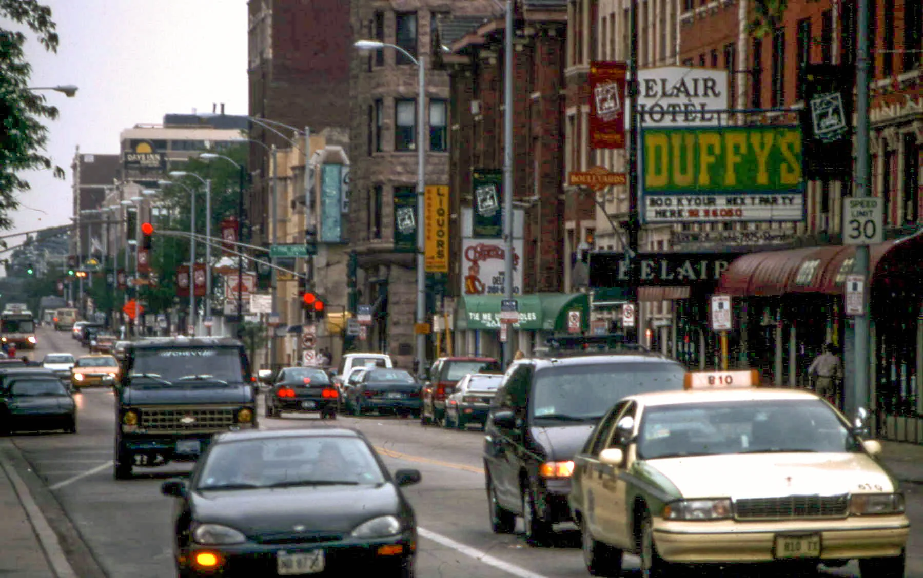
Diversey Parkway in West Chicago, Illinois
Diversey Parkway in West Chicago is an asphalted, unlit residential street. It runs in an east-west direction and crosses Norris Avenue and ends at Illinois Route 59, while the other end is a cul-de-sac. Diversey Parkway is also known as Diversey Avenue. Diversey Parkway also exists in Cook County. Ⓦ.
- Road Type
- residential street
- Route
- east-west
Image
Schools
Doctor's offices
Ice cream shops
Public bookcases
Hair salons
Fast food restaurants
Restaurants
Housewares stores
Banks
Places of worship
Cafes
Tobacco shops
Clinics
Dry cleaners
Community centers
Streets nearby
Maple Court50 ft
Elm Court400 ft
Arbor Lane0.1 mi
Saint Andrews Court0.1 mi
Arapahoe Drive0.2 mi
Mulberry Drive0.2 mi
Eagle Ridge Court0.2 mi
Lakeview Court0.2 mi
Chippewa Lane0.2 mi
Cherokee Drive0.3 mi
Indianwood Lane0.3 mi
Franciscan WaySupernova Smoke & Vape, Oasis Cafe
0.3 mi
Shady Lane0.3 mi
Woodland Avenue0.3 mi
Atlantic Drive0.4 mi
Mead Road0.4 mi
Woodcrest Drive0.4 mi
Illinois Prairie Path Elgin Branch0.4 mi
Kaelin Road0.4 mi
North AvenueStarbucks, Jimmy John's, Domino's, Scooby's
0.5 mi
Lies Road0.5 mi
Illinois Route 59American Family Medical Center - Urgent Care, Kidney Consultants, Dunkin', Baskin-Robbins
0.5 mi
Kenwood Avenue0.5 mi
Locust Avenue0.6 mi
Conte Parkway0.6 mi
Wynn Avenue0.7 mi
Post Oak Drive0.7 mi
Wiant Road0.7 mi
Avard Road0.7 mi
Valewood Road0.7 mi
Norris Avenue0.7 mi
White Oak Lane0.7 mi
Laurel Lane0.8 mi
Whitney Road0.8 mi
Golfview Court0.8 mi
Cape AvenueLakewood
0.8 mi
Shingle Oak Drive0.8 mi
Heritage Woods Drive0.8 mi
Sandcherry Lane0.9 mi
Auto repair shops nearby
Christian Brothers Automotive0.7 mi
Banks nearby
Fifth Third Bank0.6 mi
Coffee shops nearby
Bubo Coffee0.3 mi
Convenience stores nearby
BP Shop0.5 mi
Shell0.6 mi
Fast food restaurants nearby
McDonald's0.6 mi
Popeyes0.6 mi
Gas stations nearby
BP0.5 mi
Hardware stores nearby
Menards0.7 mi
Restaurants nearby
Augustino's Rock and Roll Diner0.5 mi
| Named after | Michael Diversey |
|---|---|
| Located in | Illinois |
| Country | United States |
Public transit map West Chicago Legend
| Railway | |
| Bus | |
| Streetcar |
Bicycle map West Chicago Legend
| Bike path | |
| Bike lane on roadway | |
| Cycling allowed on bus lane | |
| Bicycle street | |
| Open to cyclists | |
| Open to cyclists, good path | |
| Cycling prohibited | |
| Cobblestone |
| Long-distance bike route | (depending on scale) | |
| Long-distance bike route |
Pedestrian map West Chicago Legend
| Path |
| Long-distance hiking trail | (depending on scale) | |
| Long-distance hiking trail | ||
| Pedestrians prohibited |