
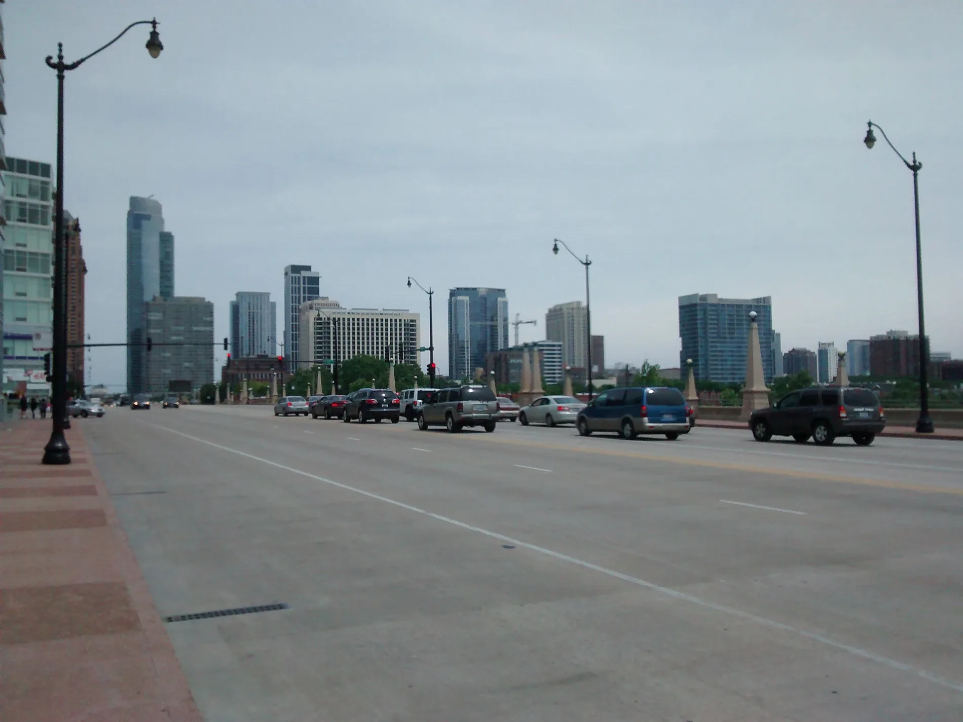
West Roosevelt Road in West Chicago, Illinois
West Roosevelt Road in West Chicago is a two-lane, asphalted main road (Road number IL 38). It runs in an east-west direction and crosses Technology Boulevard, Kress Road, McChesney Road, Fabyan Parkway, West Washington Street, Wegner Drive, Commerce Drive, Town Road and Kress Creek Drive. This street is part of the highway "38". Nearby you can find among others 2 gas stations, a school, a fast food restaurant and a motel. West Roosevelt Road also exists in Glen Ellyn, Lombard, Wheaton and Winfield. Ⓦ.
- Road Type
- main road
- Speed Limit
- 50 mph
- Lanes
- 2
- Route
- east-west
Image
Gas stations
Motels
Streets nearby
Kautz Road0.2 mi
East State Street0.3 mi
Longest Drive0.3 mi
Innovation Drive0.4 mi
Discovery Drive0.4 mi
Technology Boulevard0.5 mi
Old Kirk Road0.6 mi
Dearborn Court0.6 mi
Averill Road0.6 mi
Illinois Prairie Path Geneva SpurWest Chicago, Faith Church
0.7 mi
Elm Road0.7 mi
Fabyan Parkway0.7 mi
Pillsbury Drive0.8 mi
East Lane0.8 mi
Reed Road0.8 mi
Kress Road0.8 mi
Old Kress Road0.9 mi
North Kirk Road0.9 mi
Fluid Power Drive0.9 mi
Louis Bork Drive0.9 mi
Cherry Lane0.9 mi
Bank Lane1.0 mi
Kirk Road1.0 mi
McChesney Road1.0 mi
Geneva Drive1.0 mi
Suncast Lane1.1 mi
Enterprise Circle1.1 mi
Paramount Parkway1.1 mi
East Fabyan ParkwayBatavia Obstetrics & Gynecology - OBGYN, Duly Health and Care
1.1 mi
Schuler Drive1.1 mi
Shops nearby
American Science & Surplus0.5 mi
Abandoned railways nearby
Geneva Branch0.8 mi
Auto repair shops nearby
Route 38 Motor Cars0.8 mi
Buildings nearby
Shorr Packaging Corp0.3 mi
Prairie Landing Golf Club0.6 mi
Norix Group0.6 mi
CLC Lubricants Co.0.8 mi
Car washes nearby
Shell1.0 mi
Fast food restaurants nearby
Wendy's1.0 mi
Gas stations nearby
Amstar0.9 mi
Industrial areas nearby
Geneva Generation Facility0.9 mi
Industrial buildings nearby
Alton Industry Ltd Group0.5 mi
SBA Edge Data Center0.7 mi
Mail depots nearby
Amazon Delivery Station DIL50.6 mi
Railways nearby
Geneva Subdivision0.2 mi
St. Charles Industrial Lead0.8 mi
UP Geneva Subdivision1.0 mi
Religious areas nearby
The Church of Jesus Christ of Latter-day Saints0.8 mi
Streams nearby
Kress Creek1.1 mi
| Named after | Theodore Roosevelt |
|---|---|
| Located in | Chicago |
| Country | United States |
Public transit map West Chicago Legend
| Railway | |
| Bus | |
| Streetcar |
Bicycle map West Chicago Legend
| Bike path | |
| Bike lane on roadway | |
| Cycling allowed on bus lane | |
| Bicycle street | |
| Open to cyclists | |
| Open to cyclists, good path | |
| Cycling prohibited | |
| Cobblestone |
| Long-distance bike route | (depending on scale) | |
| Long-distance bike route |
Pedestrian map West Chicago Legend
| Path |
| Long-distance hiking trail | (depending on scale) | |
| Long-distance hiking trail | ||
| Pedestrians prohibited |