
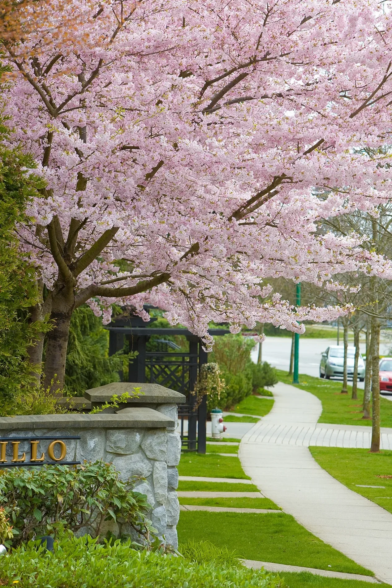
Sidewalk in West Dundee, Illinois
Sidewalk in West Dundee is a concrete footpath. The street has a width of 1.2. It runs in an east-west direction and ends in a cul-de-sac. Sidewalk is also known as pavement. Ⓦ.
- Bicycle
- yes
- Road Type
- footpath
- Route
- east-west
Image
Banks
Gas stations
Car washes
Shopping malls
Bus stops
Places of worship
Fast food restaurants
Clinics
Variety stores
Charging stations
Convenience stores
Cafes
Restaurants
Pharmacies
Libraries
Streets nearby
Canterfield Parkway West200 ft
Marriott DriveThorntons
0.2 mi
Church RoadSaint Sophia Greek Orthodox Church, Watershed Church, Party Supply Shop
0.2 mi
Lac du Beatrice Drive0.2 mi
Chapelle Avenue0.2 mi
Duchesne DriveFrontenac East
0.3 mi
Corporate Drive0.3 mi
Commerce Drive0.3 mi
Airport Road0.4 mi
Brouhaha0.4 mi
Petite Lane0.4 mi
Frontenac Drive0.4 mi
Executive Drive0.4 mi
Boncosky Road0.5 mi
Fairhills Drive0.5 mi
Chateau DriveFrontenac Woods, Frontenac
0.5 mi
Spring Leaf0.5 mi
Frontenac West0.5 mi
Fawn Hollow0.5 mi
Jane Addams Memorial TollwayIllinois 25 Toll Plaza
0.6 mi
Brom CourtBluffs of Sleepy Hollow
0.6 mi
Millsfell0.6 mi
South 8th StreetBMO, Shell, First Congregational Church
0.7 mi
Fox Path0.7 mi
Highpoint Drive0.7 mi
Federation Place0.7 mi
North Hill Trail (0.14 mi)0.8 mi
River Ridge Drive0.8 mi
Angle Tarn0.8 mi
Ranch Road0.8 mi
West River RoadIllinois 31 Toll Plaza
0.8 mi
North State StreetBennigan's, State & Wing, Seven at the Gates of Dawn, State & Lawrence/Kimball, State & Big Timber, The Golden Chain, Fox Valley Flea Market, 850 North State Street, State & Frazier, State & Schiller, Illinois 31 Toll Plaza
0.9 mi
Elgin Township Trail0.9 mi
Wauchope Drive0.9 mi
Park Lane Road1.0 mi
Buildings nearby
Lindner Tower0.8 mi
Cemeteries nearby
River Valley Memorial Gardens0.3 mi
Commercial buildings nearby
Wan Xiang0.9 mi
Fast food restaurants nearby
Dunkin'0.1 mi
Hotels nearby
Courtyard Elgin0.2 mi
Quality Inn Elgin0.2 mi
Holiday Inn Elgin0.2 mi
Extended Stay America Elgin0.3 mi
Hampton Elgin0.4 mi
Motels nearby
Super 8 Elgin0.3 mi
Office buildings nearby
J'Renee College0.4 mi
Restaurants nearby
Alexander's Cafe0.2 mi
Streams nearby
Jelke Creek0.4 mi
Jelkes Creek0.6 mi
| Has part | curb, pedestrian crossing, curb cut, tactile paving, manhole cover, rainwater harvesting, sidewalk cafe |
|---|---|
| Part of | pedestrian infrastructure, road or street |
 Public transit map West Dundee Legend
| Railway | |
| Bus | |
| Streetcar |
 Bicycle map West Dundee Legend
| Bike path | |
| Bike lane on roadway | |
| Cycling allowed on bus lane | |
| Bicycle street | |
| Open to cyclists | |
| Open to cyclists, good path | |
| Cycling prohibited | |
| Cobblestone |
| Long-distance bike route | (depending on scale) | |
| Long-distance bike route |
 Pedestrian map West Dundee Legend
| Path |
| Long-distance hiking trail | (depending on scale) | |
| Long-distance hiking trail | ||
| Pedestrians prohibited |