
22nd Street in Zion, Illinois
22nd Street in Zion is a residential street. It runs in an east-west direction starting from Lewis Avenue and crosses Joppa Avenue, Joanna Avenue, Jethro Avenue, Horeb Avenue and Hermon Avenue and ends at Hebron Avenue. Nearby you can find 2 schools. The nearest bus stop is Joppa & 21st Street (about 250 m away). 22nd Street also exists in North Chicago.
- Road Type
- residential street
- Route
- east-west
Image
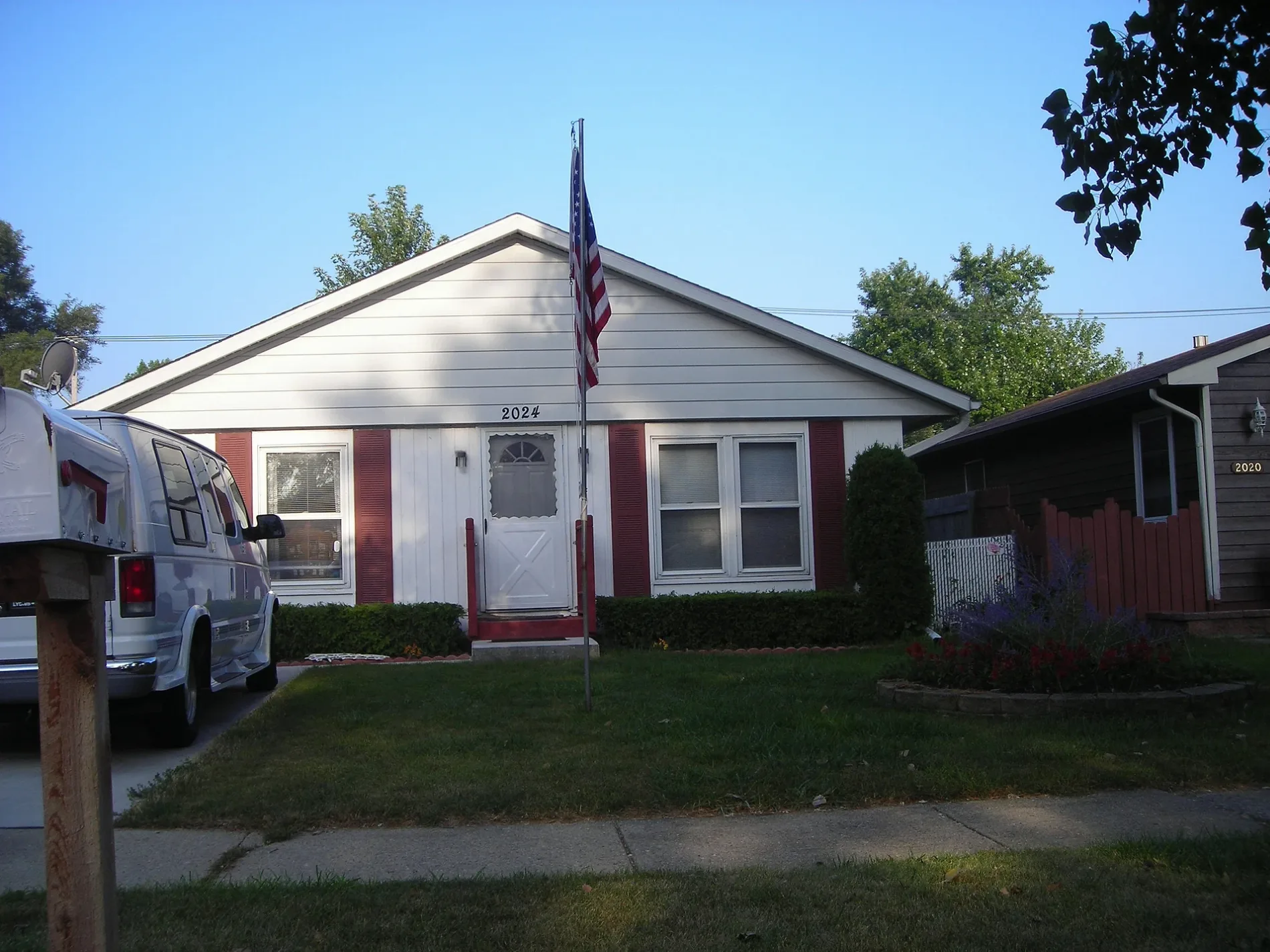
Schools
Streets nearby
Jethro Avenue0.1 mi
Horeb Avenue0.1 mi
Joanna Avenue0.1 mi
21st Street Bicycle TrailDavid Park Parking Access
0.2 mi
Hermon Avenue0.3 mi
23rd Street0.3 mi
Hebron AvenueZion Christian School
0.3 mi
Lewis Avenue0.3 mi
21st StreetBaskin-Robbins
0.3 mi
19th Street0.4 mi
Bethlehem Avenue21st Street & Sheridan, Our Saviors Lutheran School, Ahmadiyya Movement In Islam, Osco Drug
0.4 mi
Lydia Avenue0.4 mi
Joppa AvenueJoppa & 21st Street
0.4 mi
Gilead Avenue0.4 mi
Salem Boulevard0.4 mi
Robert McClory Bike Path0.4 mi
Gilboa Avenue0.4 mi
Stella Court0.4 mi
Matthew Place0.5 mi
24th Street0.5 mi
Woodland Drive0.5 mi
Galilee Avenue0.5 mi
Champart Street0.5 mi
18th Street0.6 mi
25th Street0.6 mi
Hampson Court0.6 mi
Industrial Avenue0.6 mi
17th Street0.6 mi
Jethro Court0.6 mi
Gideon Avenue0.7 mi
26th Street0.7 mi
Ezra Avenue0.7 mi
Gabriel AvenueLittle Free Library
0.7 mi
27th StreetChurch of God, New Life Alliance Church, Christian Faith Fellowship Church, Oh Yes!!! Hair Designs
0.7 mi
Willow Lane0.7 mi
Ezekiel Avenue0.8 mi
West 17th Street0.8 mi
Inner Loop0.8 mi
Kedron Boulevard0.8 mi
Kellogg Creek0.9 mi
Churches nearby
Greater Zion Temple Ministries0.4 mi
Fire stations nearby
Zion Fire Department Station #20.3 mi
Libraries nearby
Zion-Benton Public Library0.7 mi
Office buildings nearby
AT&T Zion Central Office0.5 mi
Parks nearby
Joanna Park0.2 mi
David Park0.6 mi
Salem Boulevard Park0.6 mi
Police stations nearby
Zion Police Department0.6 mi
Retail buildings nearby
Salem Food Mart0.5 mi
 Public transit map Zion Legend
| Railway | |
| Bus | |
| Streetcar |
 Bicycle map Zion Legend
| Bike path | |
| Bike lane on roadway | |
| Cycling allowed on bus lane | |
| Bicycle street | |
| Open to cyclists | |
| Open to cyclists, good path | |
| Cycling prohibited | |
| Cobblestone |
| Long-distance bike route | (depending on scale) | |
| Long-distance bike route |
 Pedestrian map Zion Legend
| Path |
| Long-distance hiking trail | (depending on scale) | |
| Long-distance hiking trail | ||
| Pedestrians prohibited |