
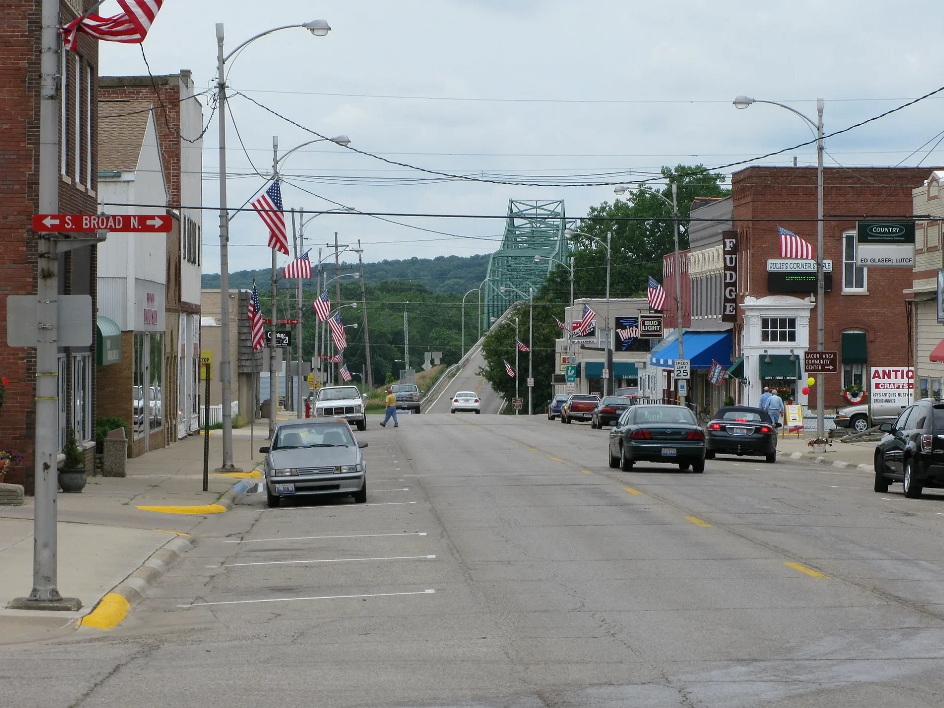
5th Street in Lacon, Illinois
5th Street in Lacon is an asphalted main road. The street has sidewalks. It runs in an east-west direction and crosses Marina Drive, North Main Street, South Main Street, North Washington Street, South Washington Street, North Broad Street, South Broad Street, North Prairie Street, South Prairie Street, North Center Street, South Center Street and North High Street. It ends in a cul-de-sac. This street is part of the highway "17". Nearby you can find among others a place of worship and a variety store. 5th Street also exists in Cook County, Rock Island County, Lake County, Will County and Whiteside County.
- Road Type
- main road
- Route
- east-west
Image
Streets nearby
4th Street350 ft
6th StreetLacon United Church of Christ, Marshall County Jail, CVS Pharmacy, IGA, Victoria's Country Diner
350 ft
North High Street0.1 mi
7th Street0.1 mi
3rd Street0.1 mi
South High Street0.2 mi
North Broad Street0.2 mi
8th StreetImmaculate Conception Church
0.2 mi
South Broad Street0.2 mi
2nd Street0.2 mi
South Center Street0.2 mi
North Washington StreetLacon/Sparland Post Office
0.2 mi
9th Street0.3 mi
1st Street0.3 mi
Broad Street0.3 mi
North Ida Street0.3 mi
South Street0.3 mi
South Ida Street0.3 mi
North Main Street0.3 mi
North Center Street0.3 mi
North Fulton Street0.3 mi
South School Street0.3 mi
Marina Drive0.3 mi
German Street0.3 mi
10th Street0.3 mi
South Main Street0.4 mi
Park Lane0.4 mi
South Fulton Street0.4 mi
Park Street0.4 mi
South Locust Street0.4 mi
South Riverview Court0.4 mi
Woodlawn Street0.4 mi
Lawndale Avenue0.4 mi
Railroad Street0.4 mi
East Street0.4 mi
Harmony Lane0.4 mi
North Prairie StreetMethodist Church
0.4 mi
SouthRiverview Court0.4 mi
South Water Street0.5 mi
Washington Square0.6 mi
South Washington Street0.6 mi
South Prairie StreetChrist New Covenant Church
0.7 mi
Courthouses nearby
Marshall County Courthouse250 ft
Libraries nearby
Lacon Public Library0.3 mi
Parks nearby
Lacon Park0.2 mi
Johnson's Grove Park0.5 mi
Police stations nearby
Marshall County Sheriffs Office300 ft
Streams nearby
Broaddus Run0.5 mi
Gimlet Creek0.6 mi
 Public transit map Lacon Legend
| Railway | |
| Bus | |
| Streetcar |
 Bicycle map Lacon Legend
| Bike path | |
| Bike lane on roadway | |
| Cycling allowed on bus lane | |
| Bicycle street | |
| Open to cyclists | |
| Open to cyclists, good path | |
| Cycling prohibited | |
| Cobblestone |
| Long-distance bike route | (depending on scale) | |
| Long-distance bike route |
 Pedestrian map Lacon Legend
| Path |
| Long-distance hiking trail | (depending on scale) | |
| Long-distance hiking trail | ||
| Pedestrians prohibited |