
Broadway Street in Metropolis, Illinois
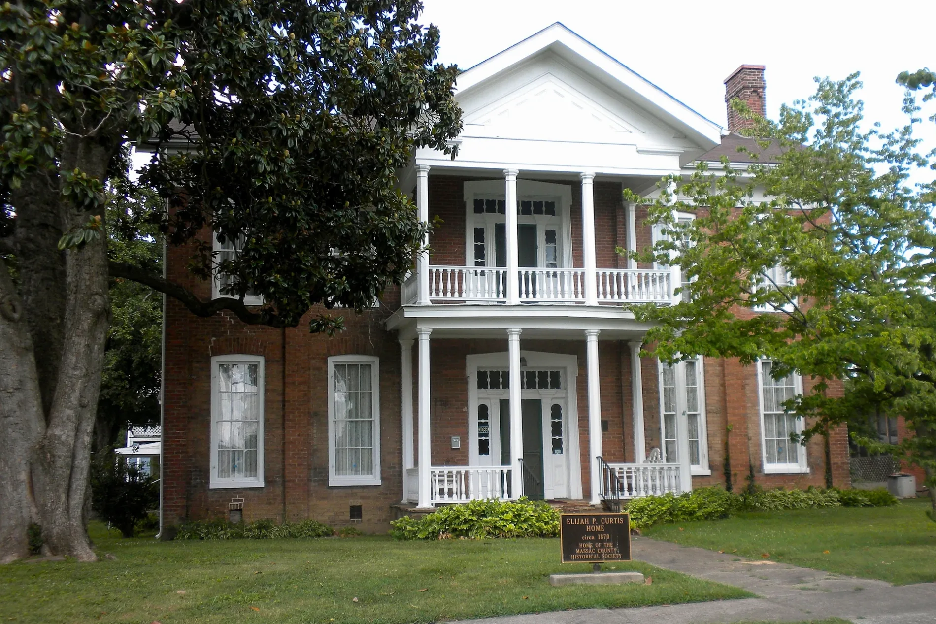
Broadway Street in Metropolis is a residential street. It runs in a northeast-southwest direction starting from West 12th Street and crosses West 11th Street, West 10th Street, West 9th Street, West 8th Street, West 7th Street, West 6th Street and West 5th Street and ends at West 4th Street. Broadway Street also exists in Will County, McHenry County, Hancock County, Mercer County and Jo Daviess County.
- Road Type
- local road
- Route
- northeast-southwest
Image
Clothing stores
Schools
Community centers
Furniture stores
Gift shops
Fast food restaurants
Antique stores
Banks
Restaurants
Variety stores
Courthouses
Places of worship
Police stations
Fire stations
Cafes
Attractions
Pharmacies
Streets nearby
West 8th StreetBroadway Church of Christ, Lois Lane Statue
250 ft
West 9th Street0.1 mi
West 7th StreetRibbons & Beaus, Happy Hearts Senior Center, Metropolis Junction, Metropolis Fire Deptartment
0.1 mi
Pearl StreetMount Horeb Freewilll Baptist Church
0.2 mi
Market StreetMidCountry Bank, Walgreens, The 606 Market, Home Again Architectural, Hidden Gems, ReFind A-Juntique Store, Super City Antiques, Sixth & Vintage, SIssy's A Sweet Shoppe, El Toro Loco, Rent-A-Center
0.2 mi
MayMetropolis Junction
0.2 mi
West 6th StreetHardee's, Banterra Bank
0.2 mi
West 10th StreetBitstop Bitcoin ATM
0.2 mi
Superman SquareSuperman Museum & Gift Shop, Massac County Sheriff Office
0.2 mi
West 5th StreetMetropolis, Metropolis Post Office, Massac County Courthouse
0.3 mi
North Avenue0.3 mi
Ferry StreetCity National Bank, Cordovino's
0.3 mi
West 4th StreetFat Edd's Roadhouse
0.3 mi
Leonard Street0.3 mi
Austin Street0.3 mi
Tanner Drive0.3 mi
Vienna StreetLincoln School, First Missionary Baptist Church
0.3 mi
West 11th StreetMetropolis City Police Department
0.3 mi
Universal Way0.3 mi
West Avenue0.3 mi
Bargerville Road0.3 mi
West 12th StreetKingdom Hall Jehovahs Witnesses
0.3 mi
West 3rd Street0.3 mi
Metropolis StreetWashington School, Trinity Presbyterian Church
0.3 mi
Baynes Street0.4 mi
Speckman Street0.4 mi
Johnson Street0.4 mi
West 18th Street0.4 mi
Neville Street0.4 mi
Ohio Street0.4 mi
Washington Street0.4 mi
Gibbons Street0.4 mi
May Avenue0.4 mi
Helm Street0.4 mi
West 2nd Street0.4 mi
West 19th Street0.5 mi
West 1st Street0.5 mi
Sterling Street0.5 mi
Simmons Street0.5 mi
Shops nearby
Sixth and Vintage0.2 mi
Antique stores nearby
The 606 Market0.2 mi
Attractions nearby
Superman Statue0.2 mi
Buildings nearby
The Massac Theater0.3 mi
Creations The Florist0.3 mi
Cemeteries nearby
Kidd Cemetery0.3 mi
Libraries nearby
Metropolis Public Library0.4 mi
Parks nearby
Franklin Park0.3 mi
Railways nearby
Paducah and Illinois Railroad0.2 mi
CN Bluford Subdivision0.2 mi
 Public transit map Metropolis Legend
| Railway | |
| Bus | |
| Streetcar |
 Bicycle map Metropolis Legend
| Bike path | |
| Bike lane on roadway | |
| Cycling allowed on bus lane | |
| Bicycle street | |
| Open to cyclists | |
| Open to cyclists, good path | |
| Cycling prohibited | |
| Cobblestone |
| Long-distance bike route | (depending on scale) | |
| Long-distance bike route |
 Pedestrian map Metropolis Legend
| Path |
| Long-distance hiking trail | (depending on scale) | |
| Long-distance hiking trail | ||
| Pedestrians prohibited |