
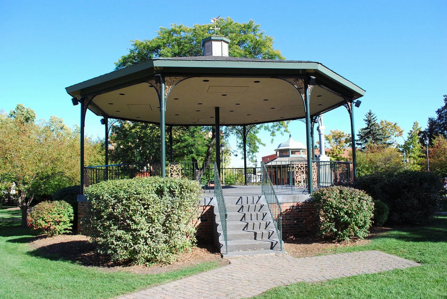
West Judd Street in Woodstock, Illinois
West Judd Street in Woodstock is a residential street. It runs in an east-west direction starting from Oakland Street and crosses North Hill Street, Pleasant Street, North Hayward Street and North Tryon Street and ends at North Throop Street.
- Road Type
- residential street
- Route
- east-west
Image
Bookstores
Bars
Bus stops
Stations
Places of worship
Schools
Recycling stations
Theaters
Ice cream shops
Restaurants
Attractions
Chocolate shops
Cafes
Platforms
Streets nearby
North Hayward Street350 ft
North Tryon StreetSaint Marys School, Saint Mary Catholic Church
450 ft
Lincoln Avenue500 ft
North Throop Street0.1 mi
West Washington StreetOrtmanns Red Iron Tavern, Woodstock, Cesaroni's Cafe & Deli, Supermercado El Sol, Woodstock Metra Station
0.2 mi
West Jackson StreetGreen Spot Used Book Store, First Baptist Church, Saint Anns Episcopal Church
0.2 mi
West Calhoun StreetPresbyterian Church of Woodstock
0.2 mi
North Johnson StreetCourt House and Jail Arts Center
0.2 mi
South Throop Street0.2 mi
South Johnson StreetStarbucks, Book Dropoff
0.2 mi
Main StreetWoodstock Mural and Sculpture Garden, Oliver's Bar and Grill
0.2 mi
Cass StreetPublic House, Ethereal Confections
0.2 mi
East Van Buren StreetWoodstock, Stage Left Cafe, Read Between the Lynes
0.2 mi
Dean StreetWoodstock Opera House, Blue Lotus Buddhist Temple, Woodstock Assembly of God Church
0.2 mi
North Benton StreetMillie's Michoacana
0.3 mi
South Benton Street0.3 mi
Clay StreetThompson's Appliance
0.3 mi
Rainbow StairsAntigua Mexican Grill
0.3 mi
Bartlett Street0.3 mi
North Jefferson Street0.3 mi
East Jackson Street0.3 mi
1st Street0.3 mi
Short Street0.3 mi
East Church Street0.4 mi
North Street0.4 mi
Newell Street0.4 mi
Hutchins Street0.4 mi
North Madison StreetCasting Whimsy Tea
0.4 mi
West 2nd Street0.4 mi
West 3rd Street0.5 mi
Wheeler Street0.5 mi
Buildings nearby
Old McHenry County Courthouse0.2 mi
Apartment buildings nearby
Woodstock Square Apartments0.3 mi
Banks nearby
BMO0.1 mi
Home State Bank0.2 mi
Commercial buildings nearby
Woodstock Square Mall0.2 mi
Community centers nearby
Woodstock VFW Post 50400.2 mi
Convenience stores nearby
Shell0.3 mi
Fast food restaurants nearby
Dairy Queen0.2 mi
Libraries nearby
Woodstock Public Library300 ft
Movie theaters nearby
Woodstock Theater / Classic Cinemas0.2 mi
Office buildings nearby
AT&T Woodstock Central Office550 ft
Parks nearby
Woodstock Square Historic District0.2 mi
Sesquicentennial Park0.3 mi
Welcome to Woodstock Garden0.4 mi
Railways nearby
UP Harvard Subdivision0.4 mi
Restaurants nearby
El Niagara0.4 mi
Town halls nearby
Woodstock City Hall0.3 mi
Train stations nearby
Woodstock Metra Station0.2 mi
Public transit map Woodstock Legend
| Railway | |
| Bus | |
| Streetcar |
Bicycle map Woodstock Legend
| Bike path | |
| Bike lane on roadway | |
| Cycling allowed on bus lane | |
| Bicycle street | |
| Open to cyclists | |
| Open to cyclists, good path | |
| Cycling prohibited | |
| Cobblestone |
| Long-distance bike route | (depending on scale) | |
| Long-distance bike route |
Pedestrian map Woodstock Legend
| Path |
| Long-distance hiking trail | (depending on scale) | |
| Long-distance hiking trail | ||
| Pedestrians prohibited |