
North Clayton Street in Bloomington, Illinois
North Clayton Street in Bloomington is a residential street. It runs in a north-south direction starting from East Douglas Street and crosses East Market Street, East Monroe Street, East Jefferson Street, East Washington Street and East Front Street and ends at South Clayton Street.
- Road Type
- residential street
- Route
- north-south
Image
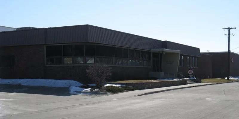
Streets nearby
North Evans Street400 ft
East Washington StreetMorgan-Michaels Family Dentistry, Potbelly, GameStop, The Lash Room, LLC, Blooming Life Studio & Spa, Your CBD Store of Bloomington, Tony's Tacos, Dop's Jerk House, Bloomington Cycle and Fitness, Gingerbread House
500 ft
East Jefferson StreetSecond Presbyterian Pre-School
0.1 mi
North Clinton Street0.1 mi
South Clinton StreetGrace United Methodist Church, Bethel Church
0.1 mi
East Monroe Street0.2 mi
North McLean Street0.2 mi
East Grove StreetMeltdown Creative Works, Refined Studios
0.2 mi
North Gridley Street0.2 mi
North Prairie StreetAbundant Thrift
0.3 mi
East Market Street0.3 mi
South Prairie Street0.3 mi
East Taylor Street0.3 mi
South Gridley Street0.3 mi
South Evans StreetAlter Metal Recycling
0.3 mi
North East StreetSound of Illinois Chorus, Lincoln-Fell-Davis Statue
0.4 mi
East Front Street0.4 mi
Albert Street0.4 mi
East Jackson Street0.4 mi
East Mill Street0.4 mi
Auto repair shops nearby
Speed Lube300 ft
Banks nearby
PNC Bank0.3 mi
Bars nearby
Pour Bros. Taproom0.3 mi
Digger's Again!0.3 mi
Beauty salons nearby
girl Friday0.2 mi
Buildings nearby
Lu Lu's Pizza550 ft
CII East0.4 mi
Government Center0.4 mi
Churches nearby
City of Refuge Ministries Church0.2 mi
Convenience stores nearby
Franzetti's Pantry Plus0.1 mi
Fabric stores nearby
Bloomington Tent & Awning0.3 mi
Gardens nearby
Prairie on the Patio Garden0.4 mi
Guest houses nearby
Vrooman Mansion0.3 mi
Houses nearby
Ruben M. Benjamin House0.2 mi
George H. Cox House0.2 mi
Old Oaks0.4 mi
John M. Hamilton House0.4 mi
Libraries nearby
Bloomington Public Library0.4 mi
Music venues nearby
The Castle Theatre0.3 mi
Parks nearby
Withers Park0.3 mi
Marie Litta Park0.4 mi
Places of worship nearby
Wesley United Methodist Church0.2 mi
Second Presbyterian Church0.3 mi
Police stations nearby
Bloomington Police Department0.5 mi
Pubs nearby
Rosie's0.4 mi
Residential areas nearby
The Oaks0.3 mi
Restaurants nearby
Epiphany Farms Restaurant0.3 mi
School buildings nearby
Washington Senior Apartments0.1 mi
Town halls nearby
Bloomington Operations Building0.4 mi
 Public transit map Bloomington Legend
| Railway | |
| Bus | |
| Streetcar |
 Bicycle map Bloomington Legend
| Bike path | |
| Bike lane on roadway | |
| Cycling allowed on bus lane | |
| Bicycle street | |
| Open to cyclists | |
| Open to cyclists, good path | |
| Cycling prohibited | |
| Cobblestone |
| Long-distance bike route | (depending on scale) | |
| Long-distance bike route |
 Pedestrian map Bloomington Legend
| Path |
| Long-distance hiking trail | (depending on scale) | |
| Long-distance hiking trail | ||
| Pedestrians prohibited |