
West Wilmot Street in Chillicothe, Illinois
West Wilmot Street in Chillicothe is a residential street. It runs in an east-west direction starting from North Wilson Street and crosses North Birren Street, North Hoyt Street, North Cutright Street, Benedict Street, North Santa Fe Avenue, North Logan Street, North Finney Street, North 6th Street and North 5th Street and ends at North 4th Street. Nearby you can find a bar and a place of worship.
- Road Type
- residential street
- Route
- east-west
Image
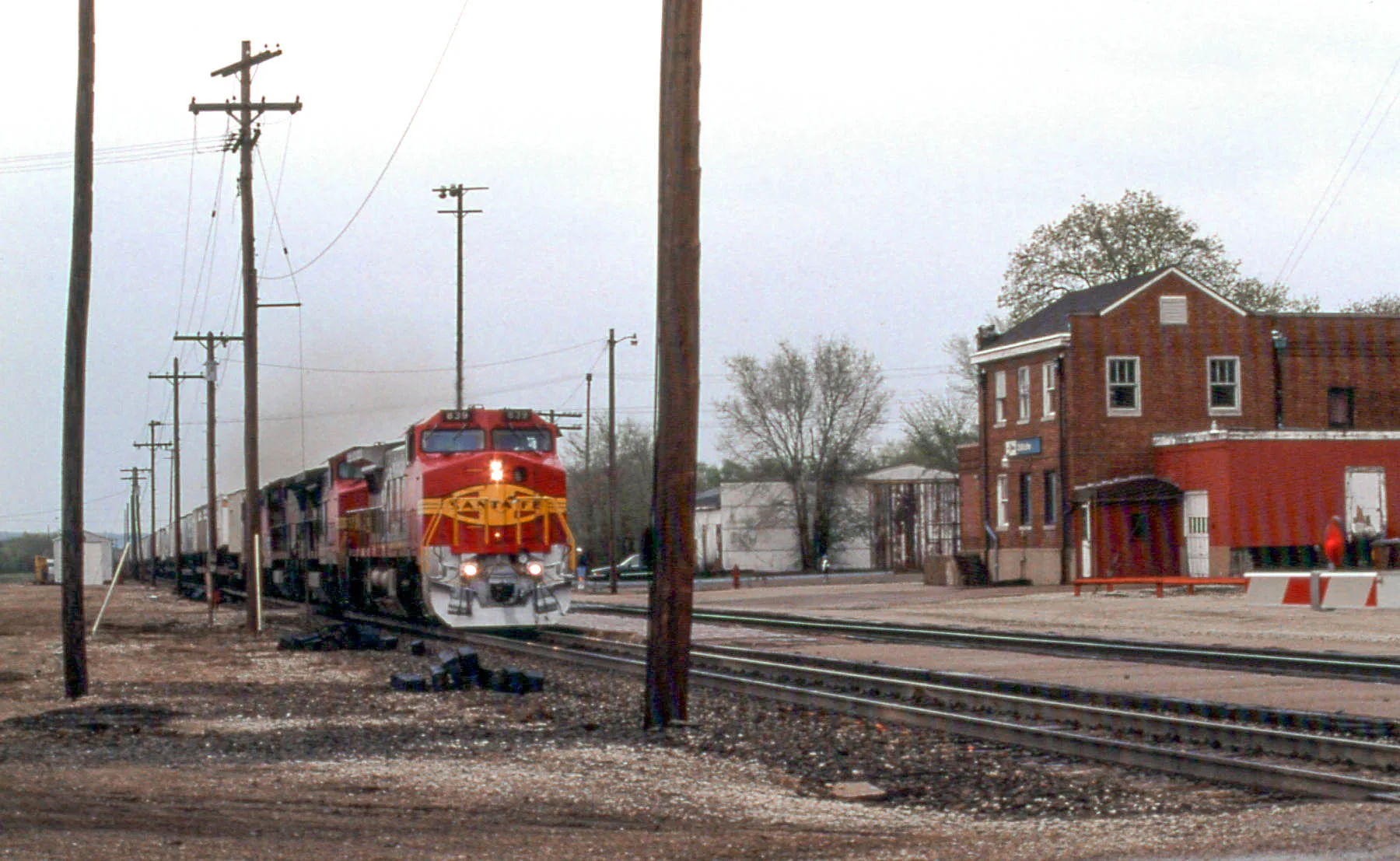
Streets nearby
Moffitt Street0.1 mi
Benedict Street0.1 mi
Matthews Street0.1 mi
Crabel Court0.2 mi
North Hoyt Street0.2 mi
West McDowell Street0.2 mi
North Logan Street0.2 mi
West Sturgeon Lane0.3 mi
West Sunnyside Street0.3 mi
North 6th Street0.3 mi
West Moffitt Street0.3 mi
North Birren Street0.3 mi
West Gail Street0.4 mi
North 5th Street0.4 mi
West Placher Court0.4 mi
West Truitt AvenueHelping Hands
0.4 mi
North Cutright Street0.4 mi
West Fletcher Lane0.4 mi
North Finney Street0.4 mi
North Wilson Street0.4 mi
North Santa Fe Avenue0.4 mi
North 4th StreetChillicothe, Subway
0.5 mi
West Cedar Court0.5 mi
North Bayberry Court0.5 mi
West Chestnut Court0.6 mi
Cedar Street0.6 mi
North Manning Drive0.6 mi
North Azbell Street0.6 mi
West Pine Court0.6 mi
North Hushaw Avenue0.6 mi
West Chestnut Street0.6 mi
Apartment buildings nearby
Old Orchard0.4 mi
Auto repair shops nearby
Beau's Tire and Auto0.5 mi
Bars nearby
Castaway's Bar and Grill0.5 mi
Buildings nearby
Chillicothe EMT0.4 mi
Convenience stores nearby
Casey's General Store0.5 mi
Fire stations nearby
Chillicothe Fire Station #20.5 mi
Gun stores nearby
Wolf Hollow Archery0.4 mi
Parks nearby
R. Paul Gollnitze City Park400 ft
Santa Fe Park0.3 mi
Places of worship nearby
Chillicothe Bible Church0.4 mi
Saint Edwards Catholic Church0.5 mi
Saint Mark Lutheran Church0.6 mi
First United Methodist Church0.6 mi
Playgrounds nearby
Pearce Community Center Playground0.5 mi
Railways nearby
BNSF Chillicothe Subdivision0.2 mi
Religious areas nearby
Chillicothe Bible Church Area0.5 mi
Sports centers nearby
Pearce Community Center0.5 mi
Sports fields nearby
Chillicothe Skate Park0.3 mi
Public transit map Chillicothe Legend
| Railway | |
| Bus | |
| Streetcar |
Bicycle map Chillicothe Legend
| Bike path | |
| Bike lane on roadway | |
| Cycling allowed on bus lane | |
| Bicycle street | |
| Open to cyclists | |
| Open to cyclists, good path | |
| Cycling prohibited | |
| Cobblestone |
| Long-distance bike route | (depending on scale) | |
| Long-distance bike route |
Pedestrian map Chillicothe Legend
| Path |
| Long-distance hiking trail | (depending on scale) | |
| Long-distance hiking trail | ||
| Pedestrians prohibited |