
2nd Avenue in Hillsdale, Illinois
2nd Avenue in Hillsdale is a residential street and runs in an east-west direction starting from 4th Street and ends at 2nd Street. 2nd Avenue also exists in Rapids City, Hampton, Silvis, Rock Island and East Moline.
- Road Type
- residential street
- Route
- east-west
Image
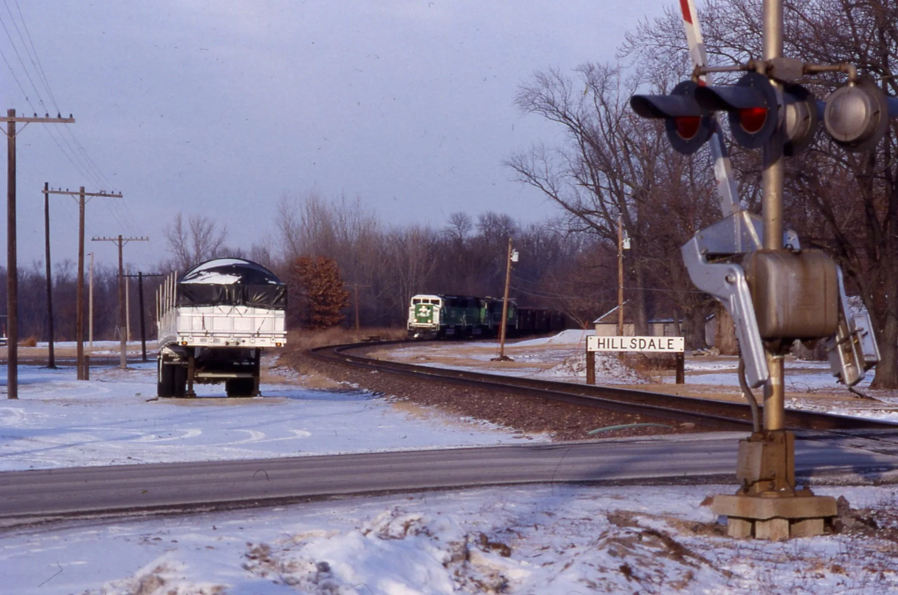
Weighbridges
Streets nearby
4th Street50 ft
2nd Street500 ft
Meguffy Lane0.2 mi
Monroe Street0.2 mi
Jackson Street0.3 mi
Butzer Street0.3 mi
Audrey Court0.3 mi
High Street0.3 mi
Main StreetHillsdale
0.3 mi
Oney Avenue0.3 mi
Warren Avenue0.4 mi
Docia Street0.5 mi
83rd Avenue North0.7 mi
317th Street North0.8 mi
Stiner Avenue0.8 mi
Johnson Street0.9 mi
Jackson0.9 mi
94th Avenue North1.0 mi
308th Street North1.0 mi
Hurd Road1.3 mi
Ferry Road1.4 mi
Moline RoadChurch of the Cross, Mailroom
1.4 mi
Elston RoadMinta Cemetery
1.5 mi
303rd Street North1.5 mi
301st Street North1.6 mi
108th Avenue North1.7 mi
West 320th Street1.7 mi
Chase Road1.9 mi
298th Street North2.0 mi
Ronald Reagan Memorial Highway2.1 mi
Dutch Bottom Road2.2 mi
122nd Avenue North2.2 mi
320th Street North2.3 mi
319th Street North2.4 mi
66th Avenue North2.6 mi
Ropp Road2.6 mi
Cemeteries nearby
Bethesda Cemetery1.3 mi
Mount Moriah Cemetery1.4 mi
Ditches nearby
Meredosia Ditch1.2 mi
Libraries nearby
Moore Memorial Library350 ft
Railways nearby
BNSF Barstow Subdivision0.9 mi
Residential areas nearby
North Hillsdale0.3 mi
Stillwater0.3 mi
Rivers nearby
Rock River2.2 mi
Streams nearby
Sanders Ditch1.4 mi
Big Slough1.8 mi
Canoe Creek2.1 mi
Other nearby
Kempster Island1.5 mi
Peterson Island2.4 mi
 Public transit map Hillsdale Legend
| Railway | |
| Bus | |
| Streetcar |
 Bicycle map Hillsdale Legend
| Bike path | |
| Bike lane on roadway | |
| Cycling allowed on bus lane | |
| Bicycle street | |
| Open to cyclists | |
| Open to cyclists, good path | |
| Cycling prohibited | |
| Cobblestone |
| Long-distance bike route | (depending on scale) | |
| Long-distance bike route |
 Pedestrian map Hillsdale Legend
| Path |
| Long-distance hiking trail | (depending on scale) | |
| Long-distance hiking trail | ||
| Pedestrians prohibited |