
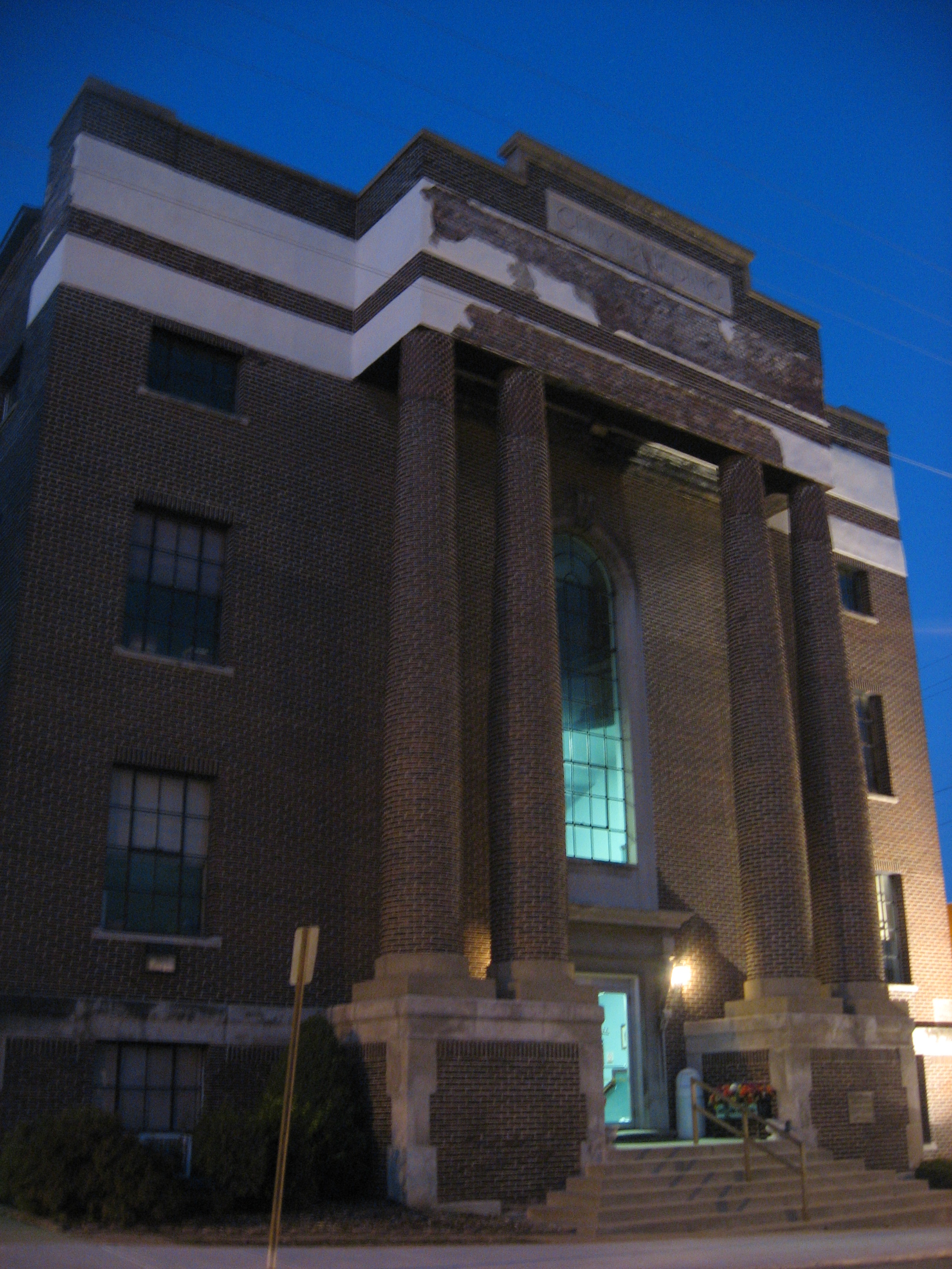
East McIlrath Street in Harrisburg, Illinois
East McIlrath Street in Harrisburg is a residential street. It runs in an east-west direction starting from South Cherry Street and crosses North Mill Street and East Logan Street and ends at North Lewis Street.
- Road Type
- residential street
- Route
- east-west
Image
Convenience stores
Community centers
Places of worship
Banks
Funeral homes
Post offices
Schools
Restaurants
Gas stations
Outdoor stores
Viewpoints
Gift shops
Attractions
Fast food restaurants
Pubs
Doctor's offices
Variety stores
Car rentals
Streets nearby
North Lewis StreetAmerican Legion Hall
500 ft
North Mill Street0.1 mi
East Logan Street0.1 mi
South Cherry Street0.1 mi
East Elm Street0.2 mi
East Wilson Avenue0.2 mi
North Gum Street0.2 mi
North Skaggs Street0.2 mi
Lewis Street0.2 mi
East Locust StreetDomino's
0.2 mi
Legion Street0.2 mi
East Walnut StreetLincoln School
0.2 mi
Seten Avenue0.2 mi
East Ford Street0.3 mi
Veterans DriveSaline
0.3 mi
South Skaggs StreetHarts Music Store
0.3 mi
East Church StreetBridge Medical Clinic
0.3 mi
South Mill StreetMorellos
0.3 mi
East Poplar StreetMarathon, Mach 1, Town Square Pub
0.3 mi
Eye Center DriveMid Country Bank
0.4 mi
North Commercial StreetKroger
0.4 mi
South Maple Street0.4 mi
Creighton StreetStrickly Outdoors
0.4 mi
East Cecil Street0.4 mi
Cecil Street0.4 mi
Parker Plaza StreetDollar General, Little Caesars, Peking Palace, Passport Sleep, Tire Express Custom Wheels, Beltone, AT&T, El Ranchito, Vapors 4 U, Texas Nails & Spa
0.4 mi
Tuttle Drive0.5 mi
Shops nearby
Tri-State Business Equipment Inc.0.2 mi
Apartment buildings nearby
Blackmann Highrise0.2 mi
Auto repair shops nearby
Best One Tire & Service0.4 mi
Banks nearby
Banterra Bank0.2 mi
SIU Credit Union0.2 mi
Buildings nearby
Marion Eye Center and Optical0.4 mi
Cannabis dispensaries nearby
Legal Smile0.2 mi
Convenience stores nearby
Farm Fresh0.2 mi
Drugstores nearby
CVS Pharmacy0.3 mi
Walgreens0.3 mi
Fast food restaurants nearby
Hardee's0.2 mi
Gas stations nearby
Roc One Stop0.3 mi
Hotels nearby
Economy Inn0.3 mi
Jewelry stores nearby
J. Bacher Fine Jewelry0.3 mi
Liquor stores nearby
Speakeasy0.2 mi
Residential areas nearby
Harrisburg Park0.3 mi
Restaurants nearby
Mackies Pizza0.2 mi
Pizza Hut0.3 mi
Retail areas nearby
Parker Plaza0.4 mi
School buildings nearby
East Side Grade School0.4 mi
Social facilities nearby
BPOE (Elks) Lodge0.2 mi
Town halls nearby
Harrisburg City Hall0.2 mi
Public transit map Harrisburg Legend
| Railway | |
| Bus | |
| Streetcar |
Bicycle map Harrisburg Legend
| Bike path | |
| Bike lane on roadway | |
| Cycling allowed on bus lane | |
| Bicycle street | |
| Open to cyclists | |
| Open to cyclists, good path | |
| Cycling prohibited | |
| Cobblestone |
| Long-distance bike route | (depending on scale) | |
| Long-distance bike route |
Pedestrian map Harrisburg Legend
| Path |
| Long-distance hiking trail | (depending on scale) | |
| Long-distance hiking trail | ||
| Pedestrians prohibited |