
East South Street in Harrisburg, Illinois
East South Street in Harrisburg is a residential street. It runs in an east-west direction starting from West South Street and crosses South Main Street, South Vine Street, South Cherry Street and South Mill Street and ends at South Skaggs Street. East South Street also exists in Cook County, Lee County, Ogle County, Will County and Kankakee County.
- Road Type
- residential street
- Route
- east-west
Image
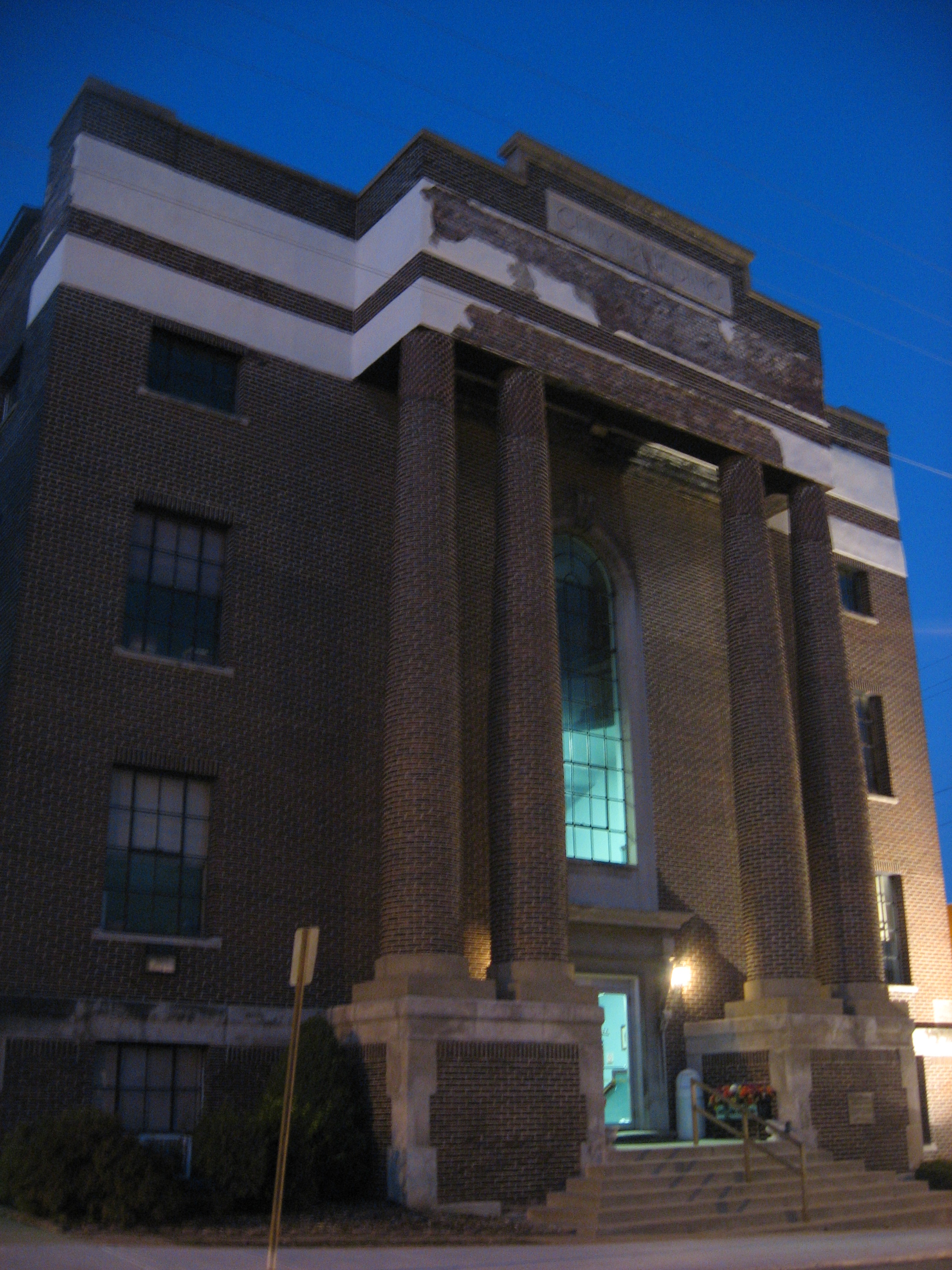
Fast food restaurants
Variety stores
Vape shops
Hearing aid centers
Post offices
Gas stations
Attractions
Places of worship
Convenience stores
Bed stores
Beauty salons
Massage therapy clinics
Doctor's offices
Restaurants
Schools
Pubs
Tire dealers
Cell phone stores
Viewpoints
Funeral homes
Streets nearby
East Gaskins Street200 ft
South Mill StreetMorellos
450 ft
South Skaggs StreetHarts Music Store
550 ft
East Lincoln Street0.1 mi
South Cherry Street0.1 mi
East Church StreetBridge Medical Clinic
0.1 mi
South Vine StreetHarvest Deliverance Center, Harrisburg Daily Register, Lab Disciplinary school
0.1 mi
South Maple Street0.2 mi
Raymond Street0.2 mi
Seten Avenue0.2 mi
North Mill Street0.2 mi
North Skaggs Street0.2 mi
Homer Avenue0.3 mi
West Lincoln StreetSaline County Abulance
0.3 mi
West Church StreetHarrisburg Post Office, Cummins Building/Ford Motors Factory, Graf Ink Printing
0.3 mi
ATM0.3 mi
South Jackson StreetWSILTV 3 (Harrisburg) Tower
0.3 mi
West Raymond StreetMirage Spa
0.3 mi
West Elm Street0.3 mi
South Webster Street0.3 mi
West Locust Street0.4 mi
West South Street0.4 mi
North Webster Street0.4 mi
Shops nearby
Tri-State Business Equipment Inc.0.2 mi
Bishop Enterprises Complete Auto Service0.3 mi
Apartment buildings nearby
Blackmann Highrise0.2 mi
Banks nearby
First Mid Bank & Trust0.3 mi
Peoples National Bank0.3 mi
Buildings nearby
Clearwave Building0.2 mi
First Baptist Church Office0.3 mi
Community centers nearby
Illinois Public Aid Office0.2 mi
Courthouses nearby
Saline County Courthouse0.2 mi
Fire stations nearby
Harrisburg Fire Department0.1 mi
Fitness centers nearby
24/7 Fitness Center0.3 mi
Gas stations nearby
Roc One Stop0.2 mi
Hotels nearby
Economy Inn0.2 mi
Liquor stores nearby
Discount Food Mart0.3 mi
Places of worship nearby
First Presbyterian church0.3 mi
First Baptist Church Complex0.3 mi
Police stations nearby
Saline County Police Department0.2 mi
Post offices nearby
Harrisburg Post Office0.2 mi
Pubs nearby
Poor Boys0.2 mi
School buildings nearby
East Side Grade School550 ft
Schools nearby
Harrisburg School Board HQ0.2 mi
Secondhand stores nearby
Salvation Army0.3 mi
Social facilities nearby
BPOE (Elks) Lodge0.3 mi
Town halls nearby
Pruett Town Hall450 ft
Harrisburg City Hall0.2 mi
Variety stores nearby
Dollar General0.2 mi
Public transit map Harrisburg Legend
| Railway | |
| Bus | |
| Streetcar |
Bicycle map Harrisburg Legend
| Bike path | |
| Bike lane on roadway | |
| Cycling allowed on bus lane | |
| Bicycle street | |
| Open to cyclists | |
| Open to cyclists, good path | |
| Cycling prohibited | |
| Cobblestone |
| Long-distance bike route | (depending on scale) | |
| Long-distance bike route |
Pedestrian map Harrisburg Legend
| Path |
| Long-distance hiking trail | (depending on scale) | |
| Long-distance hiking trail | ||
| Pedestrians prohibited |