
Highway Court in Erie, Illinois
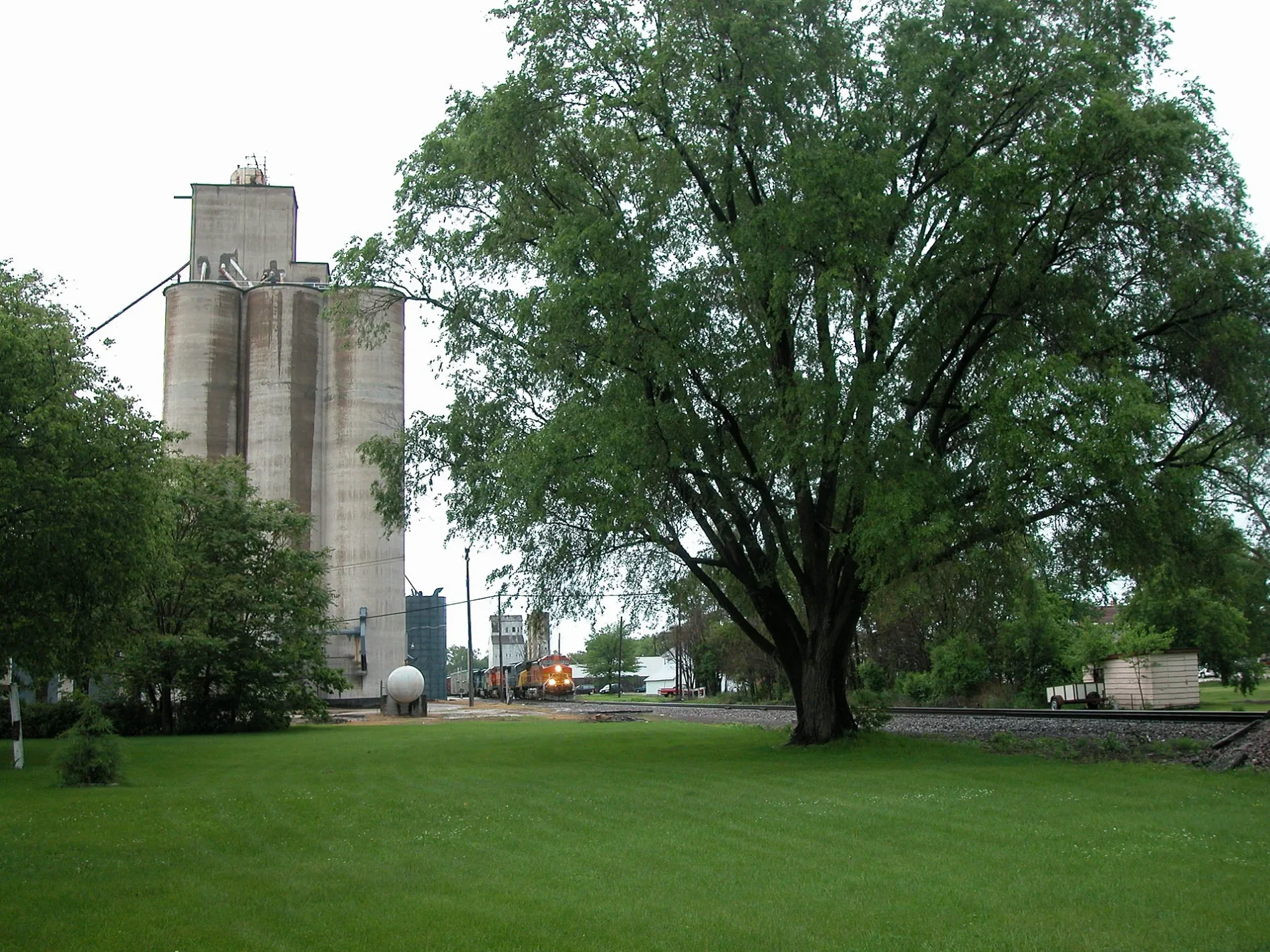
Highway Court in Erie is a residential street. It runs in a southeast-northwest direction and ends at 12th Street, while the other end is a cul-de-sac.
- Road Type
- residential street
- Route
- southeast-northwest
Image
Places of worship
Streets nearby
13th Street0.2 mi
11th Street0.2 mi
8th AvenueErie
0.3 mi
Depot Street0.3 mi
West Street0.3 mi
Oak Street0.3 mi
Albany StreetErie
0.3 mi
South Main Street0.4 mi
8th Street0.4 mi
Walnut Street0.4 mi
12th Street0.4 mi
School Court0.4 mi
East Street0.4 mi
Pine Street0.4 mi
Highland Avenue0.4 mi
14th Street0.5 mi
11th Avenue0.5 mi
5th Avenue0.5 mi
6th Avenue0.5 mi
7th Avenue0.5 mi
9th Avenue0.5 mi
7th Street0.5 mi
6th Street0.5 mi
Main StreetFenton
0.6 mi
5th Street0.6 mi
Hickory Street0.6 mi
Short Street0.6 mi
13th Avenue0.7 mi
16th Avenue0.7 mi
4th Street0.7 mi
12th Avenue A0.7 mi
5th Street Court0.7 mi
12th Avenue0.8 mi
Hawley StreetErie Evangelical Free Church
0.8 mi
Kelly Court0.8 mi
Golfview Court0.8 mi
12th Ave B0.9 mi
10th Avenue0.9 mi
Blake Road0.9 mi
Fairview Court1.0 mi
Cemeteries nearby
Erie Cemetery0.6 mi
Ditches nearby
Guthrie Ditch1.0 mi
Fire stations nearby
Erie Fire Department0.5 mi
Libraries nearby
Erie Public Library0.4 mi
Parks nearby
Heritage Park0.4 mi
Places of worship nearby
Erie Baptist Church0.2 mi
Saint Ambrose Catholic Church0.3 mi
Erie United Methodist Church0.4 mi
Railways nearby
BNSF Barstow Subdivision0.6 mi
 Public transit map Erie Legend
| Railway | |
| Bus | |
| Streetcar |
 Bicycle map Erie Legend
| Bike path | |
| Bike lane on roadway | |
| Cycling allowed on bus lane | |
| Bicycle street | |
| Open to cyclists | |
| Open to cyclists, good path | |
| Cycling prohibited | |
| Cobblestone |
| Long-distance bike route | (depending on scale) | |
| Long-distance bike route |
 Pedestrian map Erie Legend
| Path |
| Long-distance hiking trail | (depending on scale) | |
| Long-distance hiking trail | ||
| Pedestrians prohibited |