
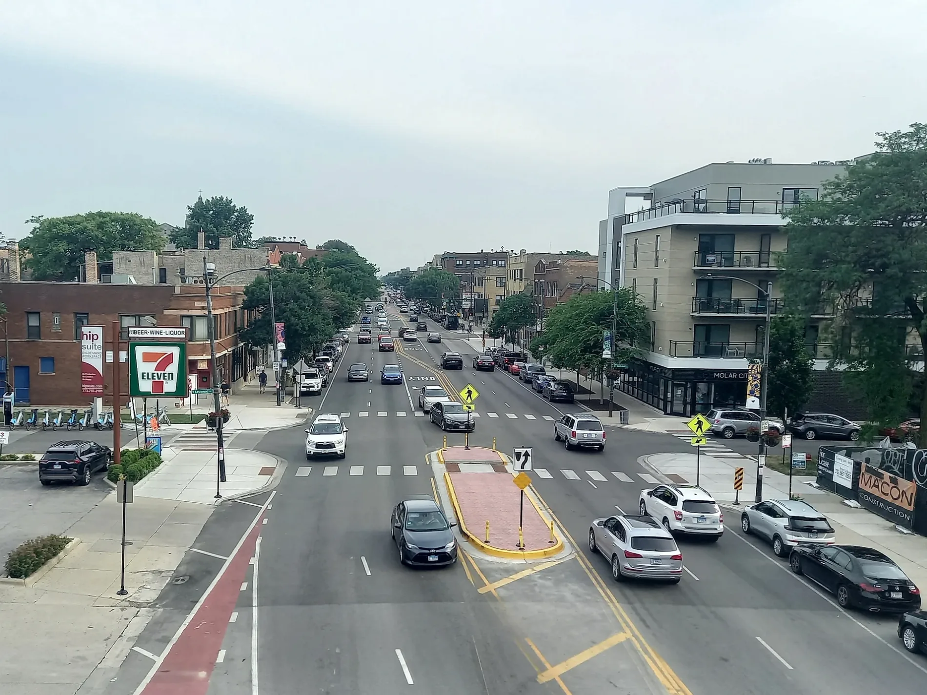
Western Avenue in Park Forest, Illinois
Western Avenue in Park Forest is a five-lane secondary road (Road number CH 53). It runs in a north-south direction starting from North Street and crosses South Street, Norwood Square Drive, Algonquin Street, 26th Street, Westwood Drive, Elm Street, Birch Street, Fir Street, Dogwood Street, Main Street and Cedar Street. It ends in a cul-de-sac. Western Avenue is also known as 2400 W. This street is part of the highway "53". The nearest stops are 24353 Western Ave, 24357 Western Ave, Western & Steger, Western & Westwood/26th Street and Western & Beacon. The bus lines 366 and 367 serve this stop. Western Avenue also exists in Cook County, Lee County, Lake County, Kane County and DuPage County. Ⓦ.
- Road Type
- secondary road
- Speed Limit
- 40 mph
- Lanes
- 5
- Route
- north-south
Streets nearby
Old Western AvenueWestern & Steger
500 ft
South Western AvenueWestern & Sycamore
0.2 mi
North Arbor Trail0.3 mi
Brookview Drive0.3 mi
Schultz Lane0.3 mi
Ottawa Street0.4 mi
Osage Street0.4 mi
Steger RoadJack's Bar
0.4 mi
Oakwood Street0.4 mi
Brookside Road0.4 mi
Woodland Court0.4 mi
Blackhawk Drive0.4 mi
Sycamore Drive0.4 mi
South Arbor Trail0.5 mi
Monee Court0.5 mi
Abbey Lane0.5 mi
Woodland Glen0.5 mi
Oak Lane0.5 mi
Brook Park Lane0.5 mi
Forest Wood Lane0.5 mi
Oswego Street0.5 mi
Marquette Street0.5 mi
Thorn Creek Drive0.5 mi
Orchard Drive0.5 mi
Onarga Street0.5 mi
Apple Lane0.6 mi
Apple Court0.6 mi
Mc Carthy Road0.6 mi
Braeburn Drive0.6 mi
Nassau Court0.6 mi
South Orchard DriveOrchard & Main, Saint Irenaeus School, Orchard & Indianwood, Orchard & Apple, Orchard & Lakewood
0.7 mi
McGarity Road0.7 mi
Nassau Street0.7 mi
Chestnut Court0.7 mi
Nauvoo Street0.7 mi
H-10.7 mi
Sauk TrailSauk Trail & Western, Sauk Trail & Lester, Subway
0.7 mi
Hemlock Street0.7 mi
Garman Road0.7 mi
Nokomis Street0.7 mi
H-110.8 mi
Lester Road0.8 mi
H-60.8 mi
Cemeteries nearby
Calvary Cemetery0.4 mi
Parks nearby
Onarga Park0.5 mi
Memorial Park0.7 mi
Places of worship nearby
Church of the Holy Family0.7 mi
Residential areas nearby
Autumn Ridge0.4 mi
Streams nearby
Thorn Creek0.7 mi
| Located in | Park Forest, Chicago |
|---|---|
| Country | United States |
Public transit map Park Forest Legend
| Railway | |
| Bus | |
| Streetcar |
Bicycle map Park Forest Legend
| Bike path | |
| Bike lane on roadway | |
| Cycling allowed on bus lane | |
| Bicycle street | |
| Open to cyclists | |
| Open to cyclists, good path | |
| Cycling prohibited | |
| Cobblestone |
| Long-distance bike route | (depending on scale) | |
| Long-distance bike route |
Pedestrian map Park Forest Legend
| Path |
| Long-distance hiking trail | (depending on scale) | |
| Long-distance hiking trail | ||
| Pedestrians prohibited |