
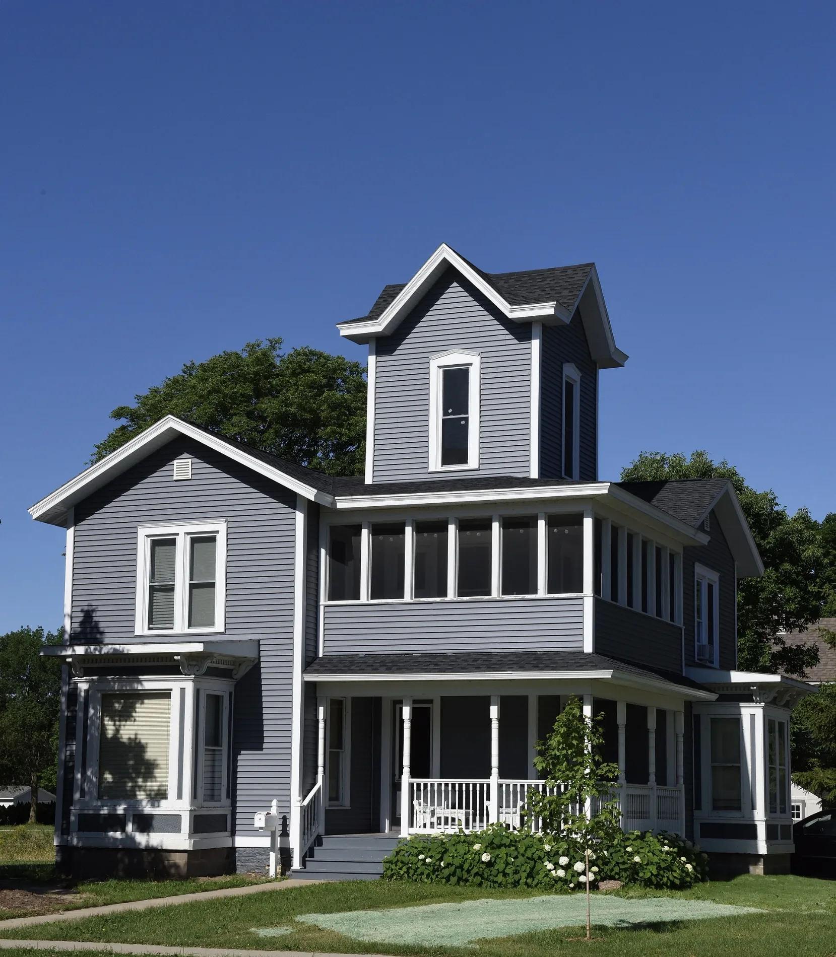
2nd Street Southwest in Waverly, Iowa
2nd Street Southwest in Waverly is a residential street. It runs in a north-south direction starting from 2nd Street Northwest and crosses West Bremer Avenue, 1st Avenue Southwest, 2nd Avenue Southwest, 3rd Avenue Southwest, 4th Avenue Southwest, 5th Avenue Southwest, 6th Avenue Southwest and 7th Avenue Southwest. It ends in a cul-de-sac.
- Road Type
- residential street
- Speed Limit
- 25 mph
- Route
- north-south
Image
Restaurants
Beauty salons
Movie theaters
Museums
- Bremer County Historical Society Museum (Web) – approx. 0.3 mi.
Supermarkets
Places of worship
Fast food restaurants
Fire stations
Copy shops
Pharmacies
Pet stores
Cafes
Tattoo studios
Ice cream shops
Pubs
Bars
Post offices
Streets nearby
1st Street SouthwestWaverly Fire Department, Four Queens Dairy Cream
350 ft
3rd Street Southwest350 ft
2nd Avenue Southwest500 ft
4th Street SouthwestMcDonald's, Grace Baptist Church, Champion Xpress Carwash, Starbucks
0.1 mi
5th Avenue Southwest0.2 mi
6th Avenue Southwest0.2 mi
1st Street SoutheastThe Wooden Foot
0.2 mi
West Bremer AvenueBremer County Historical Society Museum, Wash House, Waverly, Vineyard Community Church, Walgreens, Bremer Brewng Company, Get Roasted Coffee Company, Thinkwell, Scooter's Coffee, New East China, Twisted Fate tattoo, The printery, Z's Pizza and Diner, Trinity United Methodist Church, Waverly Public Library, Casey's, First Bank, Shear Image Salon, Dillavou Oil Company, A to Z Auto Service Center, Waverly Child Care and Pre-School, Taco John's, Trinkets and Togs, Meyer Pharmacy, Grumpy's Roadhouse, Joe's Car Wash, Joe's KnightHawk
0.2 mi
3rd Avenue Southwest0.2 mi
6th Street Southwest0.3 mi
5th Street SouthwestDomino's
0.3 mi
7th Avenue Southwest0.3 mi
3rd Avenue Southeast0.3 mi
4th Avenue SouthwestSaint John Lutheran Church, Applebee's, Greenleaf Tobacco & Vape, Dollar Tree, Handy Laundry, ALDI
0.3 mi
2nd Avenue Southeast0.3 mi
4th Avenue Southeast0.3 mi
1st Street Northeast0.3 mi
7th Street Southwest0.3 mi
2nd Street Southeast0.3 mi
7th Avenue Southeast0.3 mi
6th Avenue Southeast0.3 mi
1st Avenue SouthwestFirst Baptist Church, Dairy Queen
0.3 mi
8th Street Southwest0.4 mi
8th Avenue SouthwestSeed of Life Family Church, Burger King
0.4 mi
7th Street NorthwestJimmy John's, Liquor & Tobacco Outlet
0.4 mi
Harlington Place0.4 mi
4th Street Northwest0.4 mi
6th Street Northwest0.4 mi
1st Avenue NorthwestMcElroy Communication Arts Center
0.5 mi
9th Street SouthwestThe Other Place II
0.5 mi
2nd Avenue Northwest0.5 mi
Wartburg Boulevard0.5 mi
9th Street Northwest0.5 mi
2nd Avenue Place0.5 mi
Buildings nearby
Exchange Building0.1 mi
Saint Pauls Lutheran Church0.3 mi
Diers House0.5 mi
Golf courses nearby
Waverly Municipal Golf Course0.4 mi
Hotels nearby
Cobblestone Inn & Suites0.3 mi
Parks nearby
South Riverside Park0.1 mi
Memorial Park0.3 mi
Pavilions nearby
South Riverside Pavilion550 ft
Self storages nearby
Ramker Storage0.3 mi
Shelters nearby
Kid’s Kingdom Shelter0.2 mi
Lion’s Shelter0.3 mi
Sports fields nearby
Waverly Skate Park0.2 mi
Supermarkets nearby
Fareway0.3 mi
Swimming pools nearby
Waverly Municipal Pool0.3 mi
Weirs nearby
Waverly Milldam0.3 mi
Public transit map Waverly Legend
| Railway | |
| Bus | |
| Streetcar |
Bicycle map Waverly Legend
| Bike path | |
| Bike lane on roadway | |
| Cycling allowed on bus lane | |
| Bicycle street | |
| Open to cyclists | |
| Open to cyclists, good path | |
| Cycling prohibited | |
| Cobblestone |
| Long-distance bike route | (depending on scale) | |
| Long-distance bike route |
Pedestrian map Waverly Legend
| Path |
| Long-distance hiking trail | (depending on scale) | |
| Long-distance hiking trail | ||
| Pedestrians prohibited |