
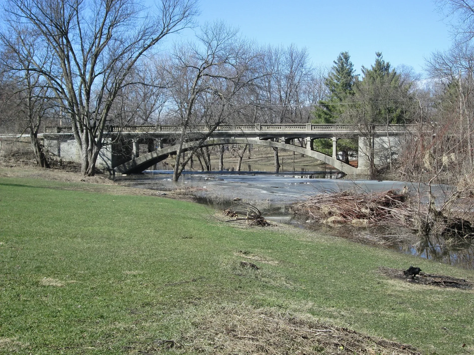
South James Street in Shell Rock, Iowa
South James Street in Shell Rock is a residential street. It runs in a north-south direction starting from South Prairie Street and crosses East Courtland Street, East Jackson Street and East Railroad Street. It ends in a cul-de-sac. South James Street also exists in Appanoose County.
- Road Type
- residential street
- Route
- north-south
Image
Libraries
Fire stations
Police stations
Places of worship
Post offices
Convenience stores
Nursing homes
Community centers
Restaurants
Bars
Banks
Gas stations
Doctor's offices
Streets nearby
East Railroad Street0.1 mi
East Jackson Street0.1 mi
East Courtland Street0.1 mi
East South Street0.2 mi
East Mindy Drive0.2 mi
South Pearl Street0.2 mi
South Prairie StreetUnited Methodist Church, Peace Lutheran Church
0.2 mi
South Short Street0.2 mi
East Graham Street0.2 mi
East Prospect Street0.2 mi
South Cherry StreetShell Rock, Benny Gambaiani Public Library, Boyd Building
0.3 mi
East Washington Street0.3 mi
South Williams Street0.3 mi
South Walnut StreetShell Rock Post Office
0.3 mi
East Main StreetThe Iowa PrimeHouse
0.3 mi
West Washington Street0.3 mi
South Adams Street0.3 mi
West Railroad Street0.4 mi
Cherry Street0.4 mi
West South Street0.4 mi
Elliot Avenue0.4 mi
West Prospect Street0.4 mi
South Wright Street0.4 mi
Lozmar Lane0.4 mi
South Fulton Street0.4 mi
South Lake Street0.4 mi
South Parson Street0.5 mi
East Water Street0.5 mi
South Albright Street0.5 mi
Willow Avenue0.5 mi
East Adair Street0.5 mi
West Water Street0.5 mi
West Adair Street0.6 mi
North Adams Street0.6 mi
West Grove Street0.6 mi
North Williams Street0.6 mi
East John StreetFaith Lutheran Church
0.6 mi
North Prairie Street0.6 mi
East Grove Street0.6 mi
North Cherry StreetShell Rock Fire Station, Kwik Star, CUSB Bank
0.7 mi
North Walnut Street0.7 mi
East James Street0.7 mi
North Public Road0.7 mi
Cemeteries nearby
Riverside Cemetery0.5 mi
Museums nearby
Shell Rock Historical Museum0.5 mi
Parks nearby
McCauge Park0.2 mi
Hoyt Elliot Memorial Park0.5 mi
Railways nearby
Iowa Northern Railway0.5 mi
Weirs nearby
Shell Rock Milldam0.4 mi
Public transit map Shell Rock Legend
| Railway | |
| Bus | |
| Streetcar |
Bicycle map Shell Rock Legend
| Bike path | |
| Bike lane on roadway | |
| Cycling allowed on bus lane | |
| Bicycle street | |
| Open to cyclists | |
| Open to cyclists, good path | |
| Cycling prohibited | |
| Cobblestone |
| Long-distance bike route | (depending on scale) | |
| Long-distance bike route |
Pedestrian map Shell Rock Legend
| Path |
| Long-distance hiking trail | (depending on scale) | |
| Long-distance hiking trail | ||
| Pedestrians prohibited |