
Mississippi River in Guttenberg, IA 52052
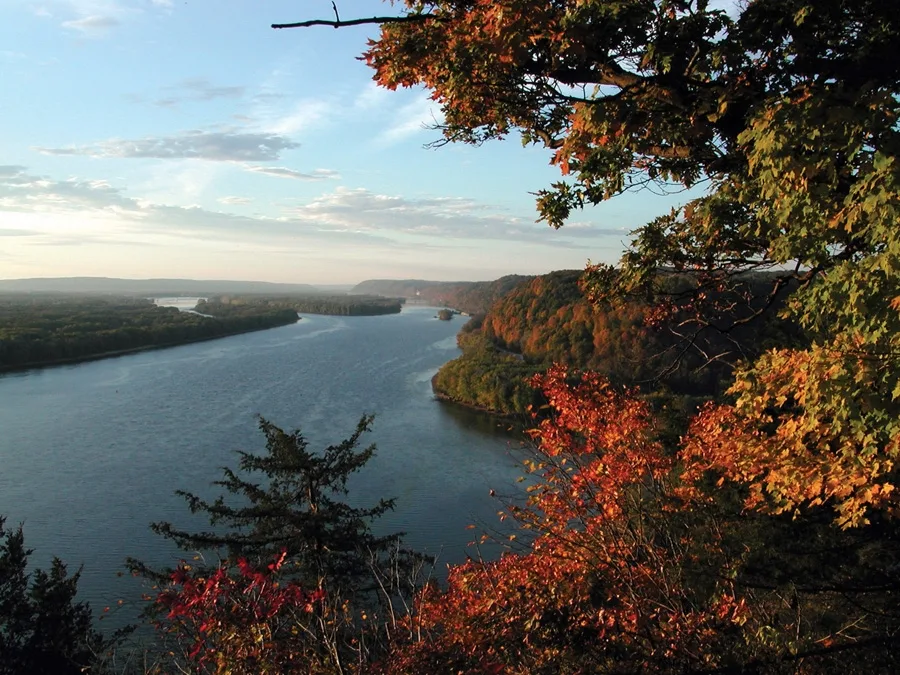
Mississippi River in Guttenberg, IA 52052 (Clayton County) is a river. Mississippi River is also known as The Mississippi. Mississippi River also exists in Dubuque County, Louisa County, Muscatine County, Clinton County and Jackson County. Ⓦ.
- Waterway Type
- river
Image
Streets nearby
South River Park DriveTrinity Lutheran Church, Clayton Ridge Middle School, Dam Bar & Grill, Family Resource Center, Keumpel Hardware, Joe's Pizza, Meuser Lumber
500 ft
Lock and Dam LaneLock &Dam #10
0.1 mi
Main StreetGuttenberg, Cornerstone Family Practice
0.2 mi
North 2nd Street0.2 mi
Pearl StreetSaint Johns Lutheran Church
0.2 mi
China StreetRausch's Cafe
0.2 mi
Prince Street0.2 mi
North River Park DriveRiverside park Gazebo
0.2 mi
Goethe StreetBrown's Automotive Sales and Service, Sodes Green Acre Cafe
0.3 mi
South 3rd StreetSubway, Living Waters Christian Church
0.3 mi
North 3rd Street0.3 mi
Regent Street0.3 mi
South 1st StreetGuttenberg Post Office, Saint Pauls Lutheran Church, United Methodist Church, Guttenberg Public Library, Blooming Branches
0.3 mi
Herder StreetSaint Marys School, Guttenberg Police Department, UPS, Fidelity Bank & Trust
0.3 mi
North 1st Street0.3 mi
Pryam Street0.4 mi
Fish Market Lane0.4 mi
South 5th StreetStadium Bar & Grill, Kwik Trip, J&L Marine
0.4 mi
South 2nd StreetSaint Marys Catholic Church
0.4 mi
Mozart StreetRivertown Family Dentistry
0.4 mi
North Bluff Street0.4 mi
Haydn Street0.5 mi
South 3rd Lane0.5 mi
Schiller StreetWhite Water Laundromat, Danny's Liquors
0.5 mi
Homestead Circle0.5 mi
Leasing Street0.5 mi
South 4th StreetBenders Supermarket, Dollar General
0.5 mi
Lessing Street0.5 mi
South 6th Street0.6 mi
Washington Street0.6 mi
Weiland Street0.6 mi
South Bluff Street0.6 mi
Jefferson Street0.7 mi
North 4th Lane0.7 mi
Herman Street0.7 mi
Sunset Lane0.7 mi
North 6th Street0.7 mi
Koerner Street0.7 mi
South 5th Lane0.8 mi
Attractions nearby
Guttenberg Fish Hatchery0.2 mi
Banks nearby
Peoples State Bank0.2 mi
Parks nearby
River Side Park0.2 mi
Skate park0.6 mi
Playground0.6 mi
Railways nearby
Marquette Subdivision0.4 mi
School buildings nearby
Clayton Ridge High School0.1 mi
Swimming pools nearby
Guttenberg Municipal Pool0.5 mi
Town halls nearby
Guttenberg City Hall0.3 mi
Weirs nearby
Lock and Dam 100.1 mi
| Length | 3766 |
|---|---|
| Located in | United States |
| Country | United States |
| Source | Lake Itasca |
| Mouth | Gulf of Mexico |
| Tributary | Black River, Arkansas River, Ohio River, Saint Croix River, Wisconsin River, Rock River, Illinois River, Kaskaskia River, Minnesota River, Des Moines River, White River, Apple River, Big Muddy River, St. Francis River, Yazoo River, Big Black River, Maquoketa River, Wolf River, Rice Creek, Iowa River, Turkey River, Loosahatchie River, Meramec River, Wapsipinicon River, Chippewa River, River des Peres, Bayou Pierre, Catfish Creek, Crow River, Duck Creek, Hatchie River, Henderson Creek, Little Maquoketa River, Marys River, Obion River, Prairie River, Rum River, Rush River, Salt River, Schoolcraft River, Skunk River, Swan River, Trempealeau River, Turtle River, Upper Iowa River, Vermillion River, Wind River, Yellow River, Village Creek, Brazeau Creek, Cinque Hommes Creek, Nokasippi River, Apple Creek, Coles Creek, River aux Vases, Minnehaha Creek, Fox River, Bassett Creek, Sucker Creek, Missouri River |
| Native name | Mississippi River |
| Described by | Sytin Military Encyclopedia, Small Brockhaus and Efron Encyclopedic Dictionary, Brockhaus and Efron Encyclopedic Dictionary, Jewish Encyclopedia of Brockhaus and Efron, The Nuttall Encyclopædia, Great Soviet Encyclopedia (1926–1947), The Encyclopedia Americana, The American Cyclopædia, Encyclopædia Britannica 11th edition, Collier's New Encyclopedia, 1921, The New Student's Reference Work, New International Encyclopedia, Meyer’s Universum, Fünfzehnter Band, Meyer’s Universum, Siebzehnter Band, Meyer’s Universum, Achtzehnter Band, Granat Encyclopedic Dictionary |
 Public transit map Clayton County Legend
| Railway | |
| Bus | |
| Streetcar |
 Bicycle map Clayton County Legend
| Bike path | |
| Bike lane on roadway | |
| Cycling allowed on bus lane | |
| Bicycle street | |
| Open to cyclists | |
| Open to cyclists, good path | |
| Cycling prohibited | |
| Cobblestone |
| Long-distance bike route | (depending on scale) | |
| Long-distance bike route |
 Pedestrian map Clayton County Legend
| Path |
| Long-distance hiking trail | (depending on scale) | |
| Long-distance hiking trail | ||
| Pedestrians prohibited |