
East Street in Grand Mound, Iowa
East Street in Grand Mound is a secondary road. It runs in a north-south direction and crosses Joyce Court, Dewitt Street, Prairie Lane, Clinton Street, Fulton Street and Sunnyside Street. East Street is also known as County Highway Y54. This street is part of the highway "Lincoln Highway - original route (1913) - Iowa". Nearby you can find a place of worship, a post office and a town hall.
- Alternate Name
- County Highway Y54
- Road Type
- secondary road
- Speed Limit
- 25 mph
- Route
- north-south
Image
Streets nearby
Dewitt Street300 ft
Prairie Lane450 ft
Smith StreetGrand Mound, Grand Mound Community Center, Cherokee's Bar & Grill
550 ft
Joyce Court0.1 mi
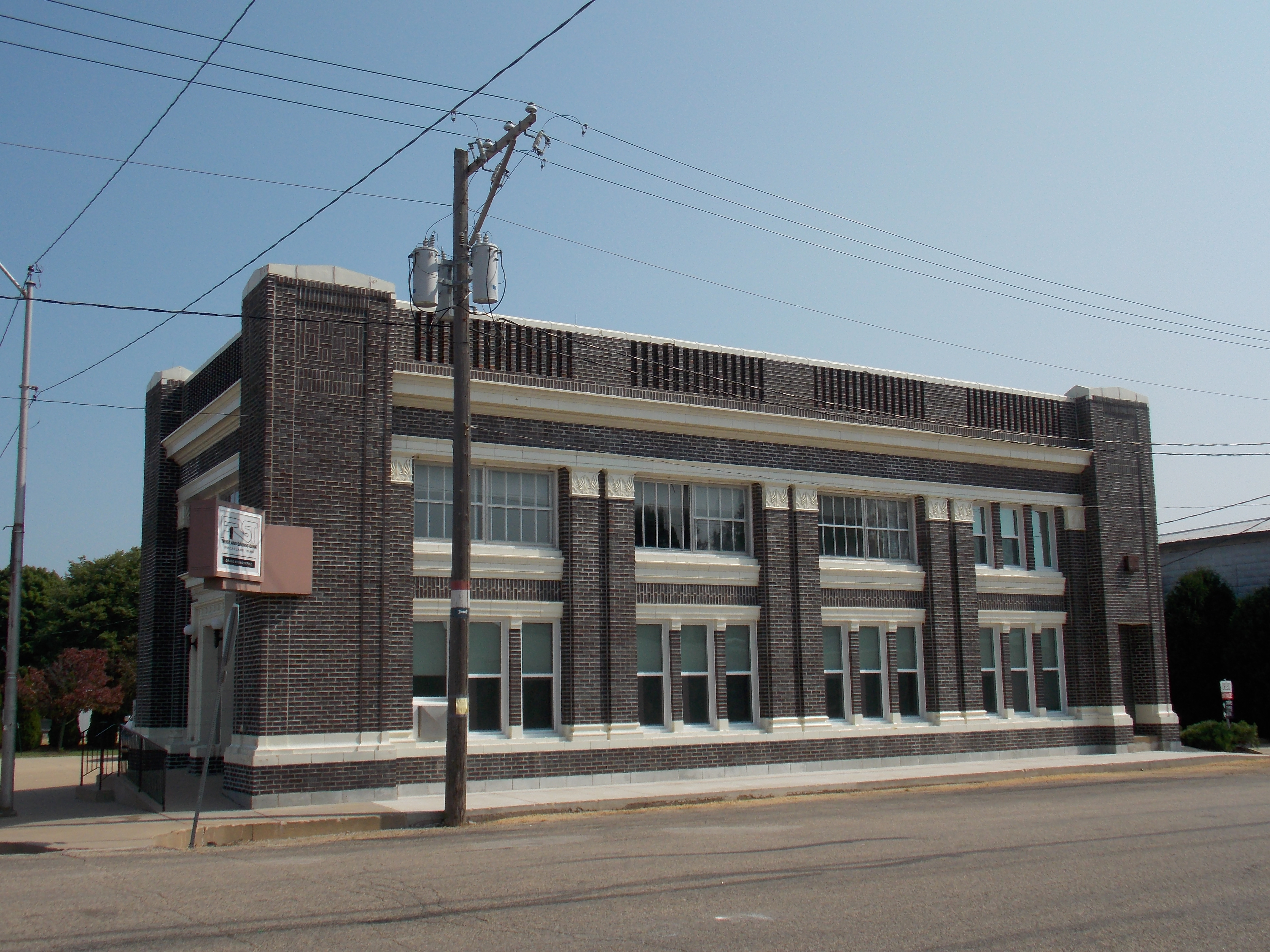
Clinton StreetSaint Pauls United Methodist Church, Grand Mound Volunteer Fire Department, King's Corner, First Trust and Savings Bank
0.1 mi
Fulton StreetSaints Philip and James Catholic Church
0.1 mi
Lincoln Street0.1 mi
Washington Street0.2 mi
Sunnyside StreetGrand Mound Elementary School
0.2 mi
Williams Street0.2 mi
West Street0.4 mi
Jensen Street0.5 mi
250th Street0.7 mi
237th Avenue0.7 mi
243rd Street0.8 mi
220th Avenue1.2 mi
230th Street1.3 mi
255th Street1.4 mi
235th Avenue1.8 mi
Farm Lane2.1 mi
250th Avenue2.3 mi
220th Street2.4 mi
215th Avenue2.7 mi
225th Street2.7 mi
270th Street2.7 mi
230th Avenue2.7 mi
223rd Avenue2.8 mi
245th Street2.8 mi
259th Avenue2.9 mi
244th Street3.0 mi
252nd Avenue3.0 mi
260th Street3.0 mi
238th Street3.1 mi
228th Avenue3.2 mi
275th Street3.3 mi
Cemeteries nearby
Calvary Cemetery0.5 mi
Evergreen Cemetery0.5 mi
Barber Cemetery2.7 mi
Smith Cemetery3.2 mi
Nature reserves nearby
Grand Mound Conservation Area1.2 mi
Parks nearby
Grand Mound City Park0.3 mi
Places of worship nearby
Immanuel Lutheran Church0.1 mi
Railways nearby
UP Clinton Subdivision2.9 mi
Streams nearby
Crystal Creek1.4 mi
Rock Creek2.4 mi
Calamus Creek2.6 mi
Barber Creek3.2 mi
Other nearby
Grand Mound Substation1.6 mi
Calamus East Substation2.0 mi
Public transit map Grand Mound Legend
| Railway | |
| Bus | |
| Streetcar |
Bicycle map Grand Mound Legend
| Bike path | |
| Bike lane on roadway | |
| Cycling allowed on bus lane | |
| Bicycle street | |
| Open to cyclists | |
| Open to cyclists, good path | |
| Cycling prohibited | |
| Cobblestone |
| Long-distance bike route | (depending on scale) | |
| Long-distance bike route |
Pedestrian map Grand Mound Legend
| Path |
| Long-distance hiking trail | (depending on scale) | |
| Long-distance hiking trail | ||
| Pedestrians prohibited |