
State Street in Grant Township, Dallas County, Iowa
State Street in Dallas County is a secondary road (also known as County Highway F31). It runs in an east-west direction starting from 190th Street and crosses Rose Street, Kennedy Boulevard, West Street, Sycamore Street, Locust Street, Walnut Street, Main Street and Oak Street and ends at 190th Street. State Street is also known as County Highway F31. State Street also exists in Union Township.
- Alternate Name
- County Highway F31
- Road Type
- secondary road
- Route
- east-west
Places of worship
Town halls
Convenience stores
Car dealerships
Fire stations
Hair salons
Streets nearby
Locust StreetEmmanuel United Methodist Church
200 ft
Elm Street500 ft
West StreetCasey's General Store
500 ft
Walnut Street0.1 mi
Rose Street0.1 mi
Payne Street0.2 mi
Sycamore StreetAssumption Church, Casey's General Store
0.2 mi
Kennedy Boulevard0.2 mi
Pine Street0.2 mi
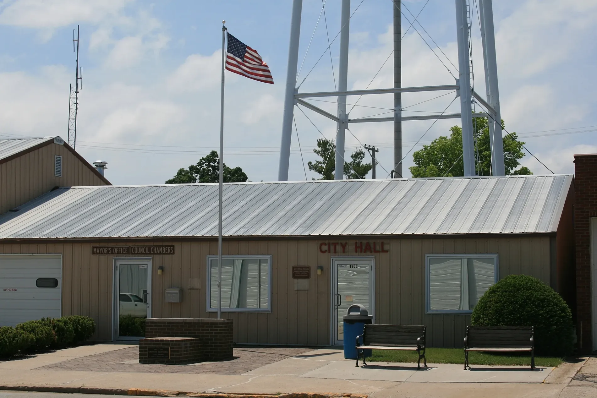
Main StreetGranger City Hall, Granger Fire Department, Salon 2216
0.2 mi
Court Street0.2 mi
Lowell Street0.2 mi
Cherry Street0.2 mi
Kennedy StreetGranger Nursing and Rehab
0.3 mi
Oak Street0.3 mi
Maple Street0.3 mi
Xavier Avenue0.3 mi
Birch Street0.3 mi
Linden Street0.4 mi
Park Avenue0.4 mi
Broadway Street0.4 mi
Windcrest Drive0.4 mi
190th Street0.4 mi
White Oak Lane0.4 mi
Aspen Drive0.4 mi
Vista View Drive0.4 mi
Maple Drive0.4 mi
Oxley Drive0.5 mi
Northwest 110th Avenue0.5 mi
Sunview Drive0.5 mi
Burr Oak Boulevard0.6 mi
Northwest 142nd Street0.7 mi
Northwest Granger Drive0.7 mi
Twin Eagles Drive0.7 mi
Juniper Place0.7 mi
Hickory Street0.8 mi
Car dealerships nearby
515 Automotive LLC0.2 mi
Commercial buildings nearby
KCP Racing0.2 mi
Libraries nearby
Granger Public Library0.2 mi
Parks nearby
Windcrest Park0.3 mi
Post offices nearby
United States Postal Service0.3 mi
Public buildings nearby
Granger Public Works0.2 mi
Pubs nearby
Bud's Pub0.2 mi
Residential areas nearby
Windcrest0.3 mi
Landing at Oxley Creek0.5 mi
Beaver Ridge0.5 mi
Restaurants nearby
Casa Amigos Bar & Grill0.2 mi
School buildings nearby
Woodward-Granger Early Leaning Center0.1 mi
Woodward-Granger Elementary School0.3 mi
 Public transit map Grant Township Legend
| Railway | |
| Bus | |
| Streetcar |
 Bicycle map Grant Township Legend
| Bike path | |
| Bike lane on roadway | |
| Cycling allowed on bus lane | |
| Bicycle street | |
| Open to cyclists | |
| Open to cyclists, good path | |
| Cycling prohibited | |
| Cobblestone |
| Long-distance bike route | (depending on scale) | |
| Long-distance bike route |
 Pedestrian map Grant Township Legend
| Path |
| Long-distance hiking trail | (depending on scale) | |
| Long-distance hiking trail | ||
| Pedestrians prohibited |