
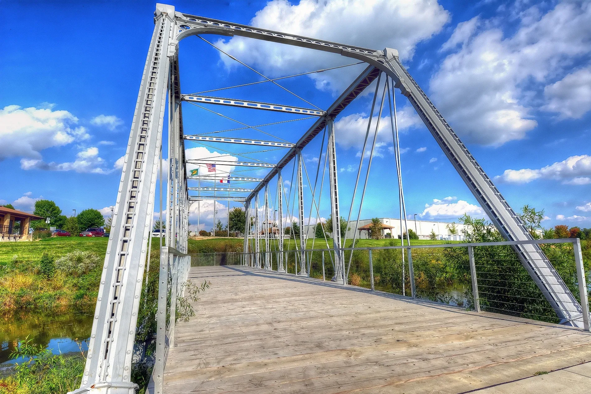
Dunleith and Dubuque Bridge in Dubuque, Iowa
Dunleith and Dubuque Bridge in Dubuque is a footpath. It runs in an east-west direction and ends in a cul-de-sac. Ⓦ.
- Road Type
- footpath
- Route
- east-west
Image
Fast food restaurants
Gas stations
Restaurants
Secondhand stores
Auto repair shops
Cell phone stores
Banks
Clinics
Hardware stores
Convenience stores
Car washes
Cafes
Thrift stores
Places of worship
Tourist information centers
Animal shelters
Car dealerships
Self storages
Hair salons
Streets nearby
Bergfeld Pond Trail450 ft
Chavenelle RoadDubuque Regional Humane Society
0.1 mi
Synergy Court0.2 mi
10.3 mi
20.3 mi
30.3 mi
40.3 mi
50.3 mi
Public Safety Way0.3 mi
Commerce Park0.3 mi
City View Drive0.3 mi
Fairgrounds Exit 2 Road0.4 mi
South Westbrook Drive0.4 mi
Fairgrounds Exit 4 Road0.4 mi
Julien Lane0.4 mi
Trails Edge Drive0.4 mi
Pebble Creek Drive0.5 mi
Fairgrounds Road0.5 mi
North Westbrook Drive0.5 mi
Somerset Hills Drive0.5 mi
Seippel Road0.5 mi
Innovation Drive0.5 mi
Bergfeld Recreational Trail0.6 mi
Chavenelle Trail0.6 mi
Chavenelle Court0.6 mi
Pine View Drive0.6 mi
Seippel Court0.7 mi
Old Highway RoadJulien, Casey's General Store, Rhody's Food 7 Spirits
0.8 mi
Cousins Road0.8 mi
Buildings nearby
Crown Warehouse0.2 mi
Alliant Energy0.3 mi
East Central Intergovernmental Association0.3 mi
1-800-TSHIRTS0.3 mi
Dubuque County Emergency Management0.3 mi
Medline Industries0.6 mi
FedEx Ground0.7 mi
Theisen's Supply Inc.0.8 mi
Fire stations nearby
TRAINING FACILITY0.3 mi
Industrial areas nearby
BP Pipelines0.6 mi
Industrial buildings nearby
Progressive Processing0.5 mi
Mail depots nearby
Amazon Delivery WWI20.3 mi
Parks nearby
Westbrook Park0.5 mi
Railways nearby
Dubuque Subdivision0.5 mi
Recreation grounds nearby
Dubuque County Fairgrounds0.5 mi
Sports centers nearby
Dubuque YMCA Early Learning Center350 ft
Streams nearby
Middle Fork Catfish Creek0.3 mi
Waters nearby
Bergfeld Pond500 ft
Other nearby
Emergency Site0.3 mi
West Brook0.5 mi
| Heritage designation | National Register of Historic Places listed place |
|---|---|
| Located in | Iowa |
| Country | United States |
 Public transit map Dubuque Legend
| Railway | |
| Bus | |
| Streetcar |
 Bicycle map Dubuque Legend
| Bike path | |
| Bike lane on roadway | |
| Cycling allowed on bus lane | |
| Bicycle street | |
| Open to cyclists | |
| Open to cyclists, good path | |
| Cycling prohibited | |
| Cobblestone |
| Long-distance bike route | (depending on scale) | |
| Long-distance bike route |
 Pedestrian map Dubuque Legend
| Path |
| Long-distance hiking trail | (depending on scale) | |
| Long-distance hiking trail | ||
| Pedestrians prohibited |