
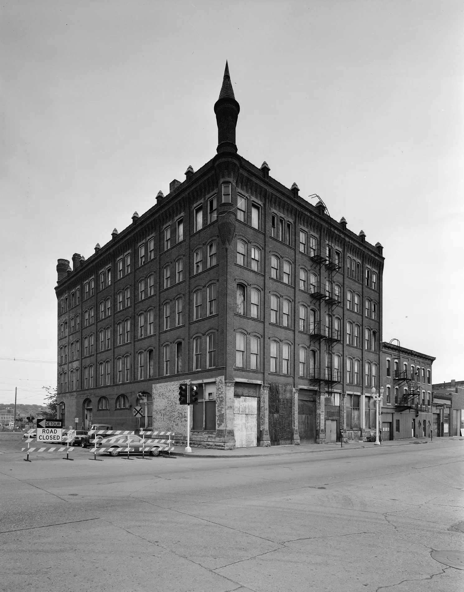
Saint Marys Street in Dubuque, Iowa
Saint Marys Street in Dubuque is an asphalted residential street. It runs in a north-south direction starting from West 3rd Street and crosses Emmett Street. It ends in a cul-de-sac.
- Road Type
- residential street
- Route
- north-south
Image
Stations
Restaurants
Interior decorators
Garden centers
Beauty salons
Artworks
Jewelry stores
Convenience stores
Clothing stores
Gift shops
Fast food restaurants
Tea shops
Ice cream shops
Antique stores
Streets nearby
Emmett Street250 ft
West 1st StreetNosce Te Ipsum, 1st & Main, Rising Sun, Planted, Essentials
500 ft
West 2nd StreetCaroline's Restaurant, Wisdom, Automate, Moon Goddess, Bird Dog
0.1 mi
Bissel Lane0.1 mi
Bluff StreetBluff Brew Haus, Byzanteaum, KB&Co., I Am A Man, Little Free Library, Each One, Teach One, Two Learn, Bluff & 11th St, Bluff St and 5th
0.1 mi
Hayden LaneShamrock Jewelers, Echos from Heirlooms, Fig Leaf, Chain Vintage
0.1 mi
Kelly's Bluff0.2 mi
Cardiff Street0.2 mi
West 4th StreetCable Car Square, 4th Street, Willows, A Ripple Effect Fair Trade, Sweet Memories, Dubuque Rescue Mission, Capri College, Pattern Revival, Hush of Heaven, River Rock Kitchen & Tap, Rainbow Lounge
0.2 mi
Fenelon Place0.2 mi
Raymond PlaceFenelon Place
0.2 mi
Cooper Place0.2 mi
Summit Street0.2 mi
Gilmore Street0.3 mi
Mazzuchelli Street0.3 mi
Maiden Lane0.3 mi
Oak Court0.3 mi
Burch Street0.3 mi
Rising Avenue0.3 mi
James Street0.3 mi
Union Street0.3 mi
Mountain Lane0.3 mi
West 5th StreetHoly Trinity Lutheran Church, Another Odd Fellow
0.3 mi
Mercy DriveMercy Hospital
0.3 mi
Oak Street0.3 mi
West 3rd StreetBarrel House, Undercurrent, Mississippi Dance, W 3rd and Alpine, W 3rd and Booth, W 3rd and College
0.4 mi
Hill StreetHill St and 3rd St, Hill St. and 5th St
0.4 mi
Quince Street0.4 mi
Langworthy StreetMedical Associates East
0.4 mi
Cleveland Avenue0.4 mi
Pear Street0.4 mi
Apartment buildings nearby
Cathedral Square Lofts400 ft
Franklin Apartments400 ft
Cafes nearby
Monks0.2 mi
Clothing stores nearby
Gotta Have It0.1 mi
Gift shops nearby
Shamrock Imports0.2 mi
Hospitals nearby
MercyOne Dubuque Health Plaza0.3 mi
MercyOne Dubuque Cancer Center0.3 mi
Energy Center0.3 mi
Hotels nearby
Days Inn by Wyndham Dubuque0.4 mi
Parking lots nearby
Parking Deck0.3 mi
Parks nearby
Cathedral Square500 ft
Fenelon Place Elevator0.2 mi
Waller-Cooper Park0.2 mi
Cleveland Park0.3 mi
Places of worship nearby
Saint Raphael Cathedral450 ft
Residential areas nearby
Fenelon Place Historic District0.2 mi
Stations nearby
Fenelon Place Elevator Company0.2 mi
Supermarkets nearby
Calico Bean Market0.2 mi
 Public transit map Dubuque Legend
| Railway | |
| Bus | |
| Streetcar |
 Bicycle map Dubuque Legend
| Bike path | |
| Bike lane on roadway | |
| Cycling allowed on bus lane | |
| Bicycle street | |
| Open to cyclists | |
| Open to cyclists, good path | |
| Cycling prohibited | |
| Cobblestone |
| Long-distance bike route | (depending on scale) | |
| Long-distance bike route |
 Pedestrian map Dubuque Legend
| Path |
| Long-distance hiking trail | (depending on scale) | |
| Long-distance hiking trail | ||
| Pedestrians prohibited |