
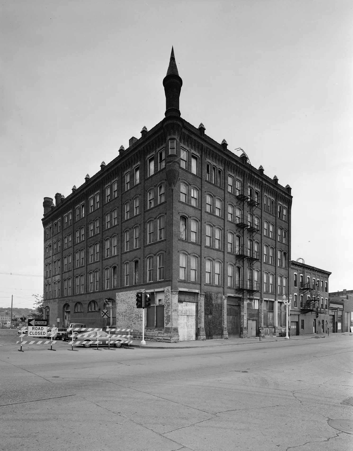
South Locust Street in Dubuque, Iowa
South Locust Street in Dubuque is a two-lane, concrete expressway. It runs in a north-south direction and crosses Charter Street, Dodge Street, Locust Street Conn, Locust Street and West 1st Street. This street is part of the highways Great River Road (Iowa), 20 and IA 946. Nearby you can find 2 fast food restaurants, an artwork and a convenience store. The nearest bus stop is S Main St at Arby's (about 350 m away). South Locust Street also exists in Pottawattamie County, Mills County, Cherokee County, Henry County and Jones County.
- Road Type
- secondary road
- Lanes
- 2
- Speed Limit
- 30 mph
- Route
- north-south
Image
Fast food restaurants
Streets nearby
Locust Street ConnStatue of Liberty
150 ft
West 1st StreetNosce Te Ipsum, 1st & Main, Rising Sun, Planted, Essentials
250 ft
Bissel Lane300 ft
Jones StreetLittle Free Library
300 ft
Main StreetThe Lift, Ada Hayden, Flatted Fifth at Dimensional, River City Church, Styld To Perfection, S Main St at Arby's, Jimmy John's, Young David, Justice, Cut Flowers, Wild Rose, Solidarity, Gymkana Blue Salon, Jackson Park, Saint Patricks School, Mario's, L.May Eatery, T.J.M. Still Life, Grahams Style Store, Northeast Iowa Community College, Town Clock Inn, Adobos Mexican Grill
450 ft
West 2nd StreetCaroline's Restaurant, Wisdom, Automate, Moon Goddess, Bird Dog
0.1 mi
Locust StreetTake Me Out to The Ball Game, Locust St and 6th St, Statue of Liberty, First Congregational Church, Odd Fellows, Lotus Rising Healing Arts
0.1 mi
Emmett Street0.1 mi
Dodge StreetKwik Trip, Advance Auto Parts, Your Pie, Copyworks, Tobacco Outlet Plus, T-Mobile, Five Guys, Sport Clips, Harbor Freight, Affordable Furniture And Treasures - Dubuque, Iowa
0.1 mi
Shops nearby
Psychic Chakra Center0.1 mi
Apartment buildings nearby
Bishop's Block Apartments0.1 mi
Cathedral Square Lofts0.1 mi
Franklin Apartments0.1 mi
Riverworks Lofts0.1 mi
Auto parts stores nearby
O'Reilly Auto Parts0.2 mi
Auto repair shops nearby
K C's Downtown Auto Center0.1 mi
Bakeries nearby
Candle Ready Cakes0.1 mi
Bars nearby
Southend Tap250 ft
Wicked Dame350 ft
Paul's Tavern450 ft
Mason Dixon Saloon550 ft
Beauty salons nearby
Fringe Salon550 ft
Buildings nearby
Dubuque Idea Campus500 ft
Daykin Insurance Agency500 ft
Allstate500 ft
Herbst Upholstery & Auto550 ft
CS Technologies0.1 mi
Bimbo Bakeries USA0.2 mi
Cafes nearby
BUZ Coffee & Energy0.1 mi
Clothing stores nearby
AJ's Boutique450 ft
Gordon's Toggery0.1 mi
Commercial areas nearby
Old Main Street Historic District400 ft
Commercial buildings nearby
O'Neill Block350 ft
Construction sites nearby
35 Locust Street300 ft
Dry cleaners nearby
Artistic Cleaners350 ft
Fabric stores nearby
Canvas Products Co.0.1 mi
Fast food restaurants nearby
Arby's0.2 mi
Fitness centers nearby
B-1 Yoga0.1 mi
Hardware stores nearby
Autolawn0.1 mi
Hotels nearby
Hotel Julien Dubuque0.1 mi
Ice cream shops nearby
Ice Cream U Scream0.1 mi
Parks nearby
Flat Iron Park350 ft
Cathedral Square0.1 mi
Pharmacies nearby
Hartig Drug450 ft
Places of worship nearby
Saint Raphael Cathedral0.1 mi
Pubs nearby
Dimensional Brewing Company200 ft
Residential areas nearby
Cathedral Historic District200 ft
Tattoo studios nearby
The Crow's Nest0.1 mi
Window blind stores nearby
Pfohl's Blinds, Draperies & Shades300 ft
Public transit map Dubuque Legend
| Railway | |
| Bus | |
| Streetcar |
Bicycle map Dubuque Legend
| Bike path | |
| Bike lane on roadway | |
| Cycling allowed on bus lane | |
| Bicycle street | |
| Open to cyclists | |
| Open to cyclists, good path | |
| Cycling prohibited | |
| Cobblestone |
| Long-distance bike route | (depending on scale) | |
| Long-distance bike route |
Pedestrian map Dubuque Legend
| Path |
| Long-distance hiking trail | (depending on scale) | |
| Long-distance hiking trail | ||
| Pedestrians prohibited |