
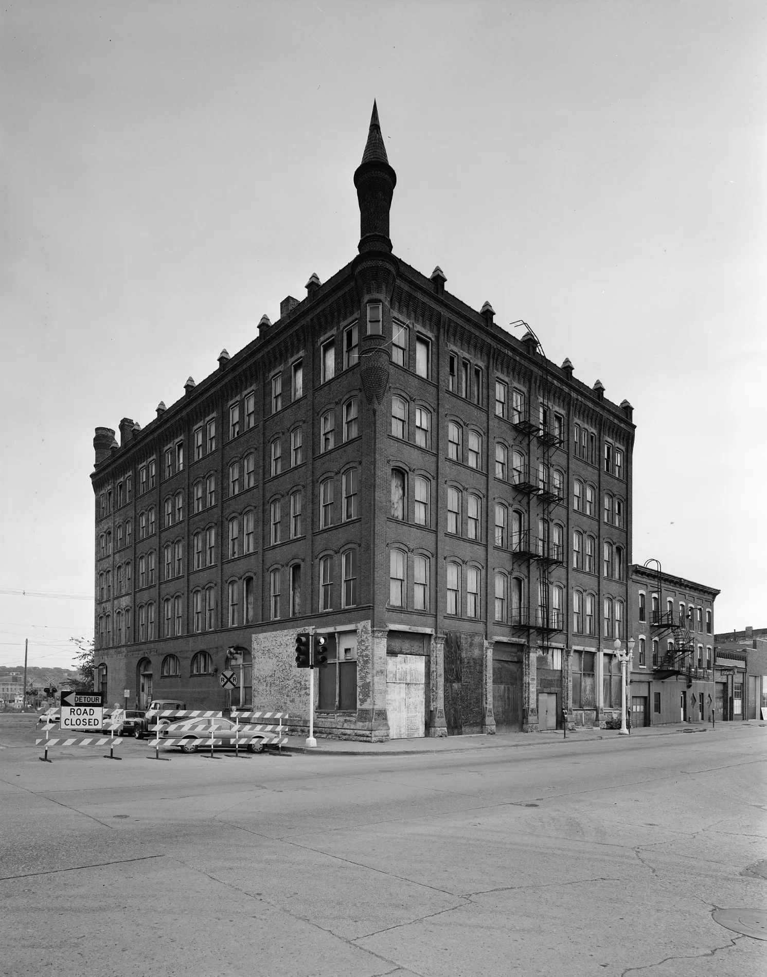
Jones Street in Dubuque, Iowa
Jones Street in Dubuque is a residential street and it runs in an east-west direction starting from Main Street and crosses Water Street and ends at Terminal Street. This street is part of the Bicycle routes Mississippi River Trail (Iowa) and Main Street. Nearby there is a public bookcase. The nearest bus stop is S Main St at Arby's (about 150 m away).
- Road Type
- residential street
- Route
- east-west
Image
Public bookcases
Streets nearby
Water StreetSouth Port
500 ft
Main StreetS Main St at Arby's, Jimmy John's, Young David, Justice, Cut Flowers, Wild Rose, Solidarity, Gymkana Blue Salon, Jackson Park, Saint Patricks School, Mario's, L.May Eatery, T.J.M. Still Life, Grahams Style Store, The Lift, Ada Hayden, Flatted Fifth at Dimensional, River City Church, Styld To Perfection, Northeast Iowa Community College, Town Clock Inn, Adobos Mexican Grill
500 ft
East 1st Street550 ft
Julien Dubuque Bridge0.1 mi
Terminal Street0.1 mi
Locust Street ConnStatue of Liberty
0.1 mi
Mississippi Plaza0.2 mi
Ice Harbor Drive0.2 mi
Charter Street0.2 mi
Bell StreetContinuum
0.2 mi
Salina Street0.2 mi
Mississippi RiverwalkNational Rivers Hall of Fame, Mark Twain Statue, John C Culver Floodwall, Dubuque Sister Cities, Tony Roma's, Native Americans at the Mississippi, Leaf Skeleton, Upper Mississippi River National Wildlife And Fish Refuge
0.2 mi
East 3rd Street0.3 mi
Stair No. 10.3 mi
Stair No. 20.4 mi
Apartment buildings nearby
Riverworks Lofts0.1 mi
Bishop's Block Apartments0.2 mi
Artworks nearby
Paddlewheel0.3 mi
Attractions nearby
William M. Black0.1 mi
Tavern0.2 mi
Towboat Logsdon0.2 mi
Riverwalk Pier0.3 mi
Auto parts stores nearby
Mutual Wheel Company300 ft
Beauty salons nearby
Fringe Salon0.2 mi
Buildings nearby
Canadian National Dubuque Yard Office150 ft
U.S. Coast Guard550 ft
Dubuque Idea Campus0.1 mi
Bimbo Bakeries USA0.1 mi
Herbst Upholstery & Auto0.2 mi
Black Smith0.2 mi
Dubuque Train Depot0.3 mi
Flexsteel Industries0.4 mi
Cabins nearby
Frentress Log Cabin0.2 mi
Casinos nearby
Diamond Jo Casino0.3 mi
Commercial buildings nearby
Newt Marine Services0.1 mi
Convenience stores nearby
Port of Dubuque Marina Store0.2 mi
Electrical supply stores nearby
Crescent Electric Supply Company0.3 mi
Fast food restaurants nearby
Arby's450 ft
Grasslands nearby
Boatyard0.2 mi
Hotels nearby
Grand Harbor Resort & Waterpark0.4 mi
Industrial areas nearby
Buoy Yard400 ft
Dock A0.2 mi
Marinas nearby
Port of Dubuque Marina0.2 mi
Military areas nearby
U.S. Coast Guard - Dubuque Moorings500 ft
Museums nearby
Diamond Jo National River Center0.2 mi
National Mississippi River Museum & Aquarium0.2 mi
Parks nearby
Flat Iron Park0.2 mi
Rivers nearby
Mississippi River0.3 mi
Waters nearby
Wetland0.2 mi
Public transit map Dubuque Legend
| Railway | |
| Bus | |
| Streetcar |
Bicycle map Dubuque Legend
| Bike path | |
| Bike lane on roadway | |
| Cycling allowed on bus lane | |
| Bicycle street | |
| Open to cyclists | |
| Open to cyclists, good path | |
| Cycling prohibited | |
| Cobblestone |
| Long-distance bike route | (depending on scale) | |
| Long-distance bike route |
Pedestrian map Dubuque Legend
| Path |
| Long-distance hiking trail | (depending on scale) | |
| Long-distance hiking trail | ||
| Pedestrians prohibited |