
Lock Canal 19 in Keokuk, Iowa
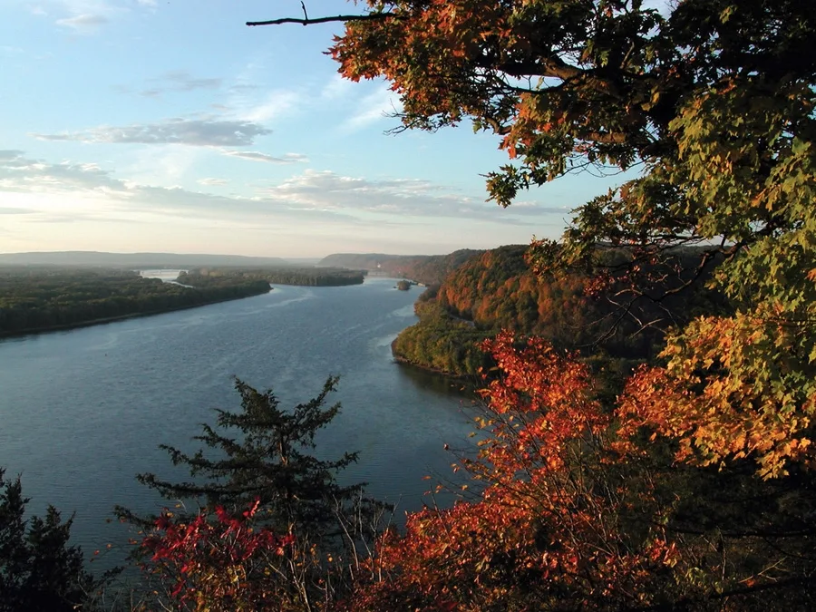
Lock Canal 19 in Keokuk is a canal. Lock Canal 19 is also known as The Mississippi. Ⓦ.
- Waterway Type
- canal
Image
Clinics
Florists
Convenience stores
Furniture stores
Radio equipment stores
Places of worship
Car dealerships
Funeral homes
Cell phone stores
Thrift stores
Restaurants
Fast food restaurants
Doctor's offices
Museums
- Samuel F Miller House Museum (Web) at North 5th Street 318 (52632) – approx. 1.2 mi.
Liquor stores
Galleries
Streets nearby
Grand Avenue0.5 mi
Rand Park Terrace0.5 mi
Stripe Street0.5 mi
Park Lane0.6 mi
Parkview Hgts0.6 mi
Walte Lane0.6 mi
Seymour Street0.6 mi
Milton Drive0.6 mi
Bel-Air Court0.6 mi
Park View Street0.7 mi
River Road0.7 mi
Leighton Street0.7 mi
Bel-Air Street0.7 mi
Fairlane0.7 mi
Crest Court0.7 mi
Orleans Avenue0.7 mi
Crestwood Lane0.7 mi
Wind River Drive0.8 mi
Lofton Drive0.8 mi
Hillcrest Street0.8 mi
Eicher Street0.8 mi
Aeroway Street0.8 mi
King Street0.8 mi
North 16th Street0.8 mi
North County Road 15000.8 mi
Boulevard Road0.8 mi
Keokuck Yacht Club Boat Ramp0.8 mi
Logan Court0.8 mi
Logan Drive0.8 mi
Franklin StreetMessiah Lutheran Church
0.8 mi
North 13th StreetSite Mart
0.8 mi
Oakcliff Lane0.9 mi
Windsor Hgts0.9 mi
North 14th Street0.9 mi
Sears Court0.9 mi
North 17th Street0.9 mi
North 12th Street0.9 mi
Yoder Street0.9 mi
North 10th Street0.9 mi
Hazelhurst Circle0.9 mi
North 11th Street0.9 mi
North 9th Street1.0 mi
Industrial buildings nearby
Keokuk Power Plant1.0 mi
Parks nearby
Rand Park0.4 mi
Triangular Park0.9 mi
Places of worship nearby
Bel Air Baptist Church0.9 mi
New Bethel Church of Keokuk0.9 mi
School buildings nearby
Torrance Preschool0.9 mi
Keokuk Middle School0.9 mi
| Length | 3766 |
|---|---|
| Located in | United States |
| Country | United States |
| Source | Lake Itasca |
| Mouth | Gulf of Mexico |
| Tributary | Black River, Arkansas River, Ohio River, Saint Croix River, Wisconsin River, Rock River, Illinois River, Kaskaskia River, Minnesota River, Des Moines River, White River, Apple River, Big Muddy River, St. Francis River, Yazoo River, Big Black River, Maquoketa River, Wolf River, Rice Creek, Iowa River, Turkey River, Loosahatchie River, Meramec River, Wapsipinicon River, Chippewa River, River des Peres, Bayou Pierre, Catfish Creek, Crow River, Duck Creek, Hatchie River, Henderson Creek, Little Maquoketa River, Marys River, Obion River, Prairie River, Rum River, Rush River, Salt River, Schoolcraft River, Skunk River, Swan River, Trempealeau River, Turtle River, Upper Iowa River, Vermillion River, Wind River, Yellow River, Village Creek, Brazeau Creek, Cinque Hommes Creek, Nokasippi River, Apple Creek, Coles Creek, River aux Vases, Minnehaha Creek, Fox River, Bassett Creek, Sucker Creek, Missouri River |
| Native name | Mississippi River |
| Described by | Sytin Military Encyclopedia, Small Brockhaus and Efron Encyclopedic Dictionary, Brockhaus and Efron Encyclopedic Dictionary, Jewish Encyclopedia of Brockhaus and Efron, The Nuttall Encyclopædia, Great Soviet Encyclopedia (1926–1947), The Encyclopedia Americana, The American Cyclopædia, Encyclopædia Britannica 11th edition, Collier's New Encyclopedia, 1921, The New Student's Reference Work, New International Encyclopedia, Meyer’s Universum, Fünfzehnter Band, Meyer’s Universum, Siebzehnter Band, Meyer’s Universum, Achtzehnter Band, Granat Encyclopedic Dictionary |
Public transit map Keokuk Legend
| Railway | |
| Bus | |
| Streetcar |
Bicycle map Keokuk Legend
| Bike path | |
| Bike lane on roadway | |
| Cycling allowed on bus lane | |
| Bicycle street | |
| Open to cyclists | |
| Open to cyclists, good path | |
| Cycling prohibited | |
| Cobblestone |
| Long-distance bike route | (depending on scale) | |
| Long-distance bike route |
Pedestrian map Keokuk Legend
| Path |
| Long-distance hiking trail | (depending on scale) | |
| Long-distance hiking trail | ||
| Pedestrians prohibited |