
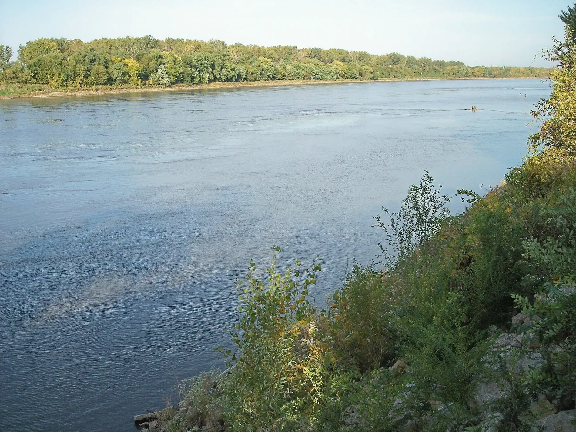
Missouri River in Saint Marys Township
Missouri River in Mills County is a river. Missouri River is also known as Missouri. Missouri River also exists in Pottawattamie County. Ⓦ.
- Waterway Type
- river
Streets nearby
Missouri River Rd0.8 mi
Iske Place0.8 mi
East Platteview Rd1.1 mi
Old East La Platte Road1.3 mi
Wastewater Road1.3 mi
E 15th Ave1.3 mi
Elbow Bend Road1.3 mi
Highway 341.4 mi
East La Platte Road1.5 mi
180th Street1.5 mi
175th Street1.5 mi
La Platte Road1.6 mi
Missouri River Road1.6 mi
Harlan Lewis Road2.1 mi
US Highway 342.1 mi
182nd Street2.1 mi
Cunningham Road2.2 mi
Hammond AvenueLincoln School
2.3 mi
Butler Road2.4 mi
Butler Boulevard2.5 mi
Lake DriveFAMCamp
2.5 mi
Columbia Drive2.5 mi
195th StreetFolsom
2.6 mi
Base Lake Rd2.6 mi
Allis RoadEureka School Number 1
2.9 mi
Beaches nearby
Paradise Park Beach2.9 mi
Buildings nearby
Boathouse2.3 mi
Indoor Pavilion2.4 mi
Four-Plex Softball Fields2.6 mi
Industrial areas nearby
Merigrow2.5 mi
Military areas nearby
S. F. Police Training Area2.6 mi
Nature reserves nearby
Schilling Island Refuge2.9 mi
Railways nearby
BNSF Omaha Subdivision2.3 mi
BNSF Council Bluffs Subdivision2.6 mi
Sports centers nearby
Cobras RC Club1.8 mi
Champions Village2.1 mi
Sports fields nearby
Volleyball (2)2.3 mi
Basketball2.3 mi
Archery2.7 mi
Streams nearby
Old Papillion0.6 mi
Base Lake Ditch2.5 mi
Waters nearby
Old Papillion Creek0.4 mi
Saint Mary's Pond1.2 mi
Catfish Lake1.7 mi
Little St. Mary's Pond1.8 mi
Folsom Lake2.3 mi
Offutt Creek2.6 mi
Other nearby
C2.7 mi
P2.7 mi
| Named after | Missouria |
|---|---|
| Length | 3726 |
| Located in | Montana, North Dakota, South Dakota, Nebraska, Iowa, Missouri, Kansas |
| Country | United States |
| Mouth | Mississippi River |
| Tributary | Little Missouri River, Grand River, Moreau River, Cheyenne River, Bad River, White River, Niobrara River, James River, Vermillion River, Big Sioux River, Platte River, Kansas River, Milk River, Yellowstone River, Osage River, Mosquito Creek, Boyer River, Ponca Creek, Perry Creek, Floyd River, Little Sioux River, Soldier River, Jefferson River, Marias River, Dearborn River, Madison River, Cannonball River, Gallatin River, Roe River, Heart River, Musselshell River, Knife River, Big Muddy Creek, Judith River, Sun River, Chariton River, Arrow Creek, Belt Creek, Blue River, Cow Creek, Crooked River, Cuivre River, Fishing River, Gasconade River, Lamine River, Little Blue River, Little Muddy Creek, Loutre River, Nodaway River, Papillion Creek, Poplar River, Redwater River, Sixteen Mile Creek, Smith River, Tarkio River, Wolf River, Nishnabotna River, Big Dry Creek (Montana), Auxvasse Creek, Big Berger Creek, Perche Creek, Blacksnake Creek, Big Nemaha River, Little Nemaha River, Sacagawea River, Little Chariton River, Sni-A-Bar Creek |
| Native name | Missouri River |
| Described by | Brockhaus and Efron Encyclopedic Dictionary, Small Brockhaus and Efron Encyclopedic Dictionary, Great Soviet Encyclopedia (1926–1947), Encyclopædia Britannica 11th edition, The American Cyclopædia, Collier's New Encyclopedia, 1921, New International Encyclopedia, The New Student's Reference Work, Granat Encyclopedic Dictionary |
Public transit map Saint Marys Township Legend
| Railway | |
| Bus | |
| Streetcar |
Bicycle map Saint Marys Township Legend
| Bike path | |
| Bike lane on roadway | |
| Cycling allowed on bus lane | |
| Bicycle street | |
| Open to cyclists | |
| Open to cyclists, good path | |
| Cycling prohibited | |
| Cobblestone |
| Long-distance bike route | (depending on scale) | |
| Long-distance bike route |
Pedestrian map Saint Marys Township Legend
| Path |
| Long-distance hiking trail | (depending on scale) | |
| Long-distance hiking trail | ||
| Pedestrians prohibited |