
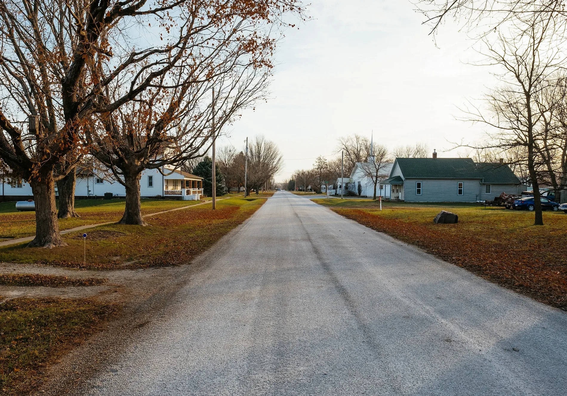
Oak Street in Braddyville, Iowa
Oak Street in Braddyville is a residential street and runs in a north-south direction starting from Mulberry Street and crosses 3rd Street and ends at 2nd Street. Nearby there is a town hall.
- Road Type
- residential street
- Route
- north-south
Image
Town halls
Streets nearby
Poplar Street400 ft
Mulberry StreetBraddyville, Braddyville Post Office
0.1 mi
3rd Street0.1 mi
2nd Street0.1 mi
Pine Street0.1 mi
Spruce Street0.2 mi
Main Street0.2 mi
Elm Street0.2 mi
Maple Street0.2 mi
North Street0.2 mi
North Main Street0.3 mi
North Railroad Street0.3 mi
T Avenue1.0 mi
Festival Road1.6 mi
105th Street1.6 mi
314th Street1.7 mi
R Avenue1.7 mi
U Avenue2.1 mi
Upton Avenue2.4 mi
Teak Avenue2.5 mi
294 Lane2.6 mi
Eagle Road2.7 mi
Fortune Road2.8 mi
130th StreetMaple Lawn School
2.9 mi
310th Street3.0 mi
Q Avenue3.0 mi
Fairway Road3.0 mi
V Avenue3.1 mi
Galaxy Road3.1 mi
295th Street3.2 mi
300th Street3.2 mi
Ara Colony Road3.5 mi
Dragonfly Road3.8 mi
Colony Road3.8 mi
120th Street3.8 mi
Danube Road3.8 mi
125 Street3.8 mi
290th Street3.8 mi
Oak Avenue3.9 mi
140th Street3.9 mi
316th Street3.9 mi
320th Street4.0 mi
Cemeteries nearby
Braddyville Cemetery0.4 mi
Burch Cemetery3.0 mi
Union Grove Cemetery3.4 mi
Nature reserves nearby
Braddyville Access0.8 mi
PF Wildlife Area3.6 mi
Parks nearby
Braddy Park0.4 mi
Streams nearby
Buchanan Creek2.1 mi
 Public transit map Braddyville Legend
| Railway | |
| Bus | |
| Streetcar |
 Bicycle map Braddyville Legend
| Bike path | |
| Bike lane on roadway | |
| Cycling allowed on bus lane | |
| Bicycle street | |
| Open to cyclists | |
| Open to cyclists, good path | |
| Cycling prohibited | |
| Cobblestone |
| Long-distance bike route | (depending on scale) | |
| Long-distance bike route |
 Pedestrian map Braddyville Legend
| Path |
| Long-distance hiking trail | (depending on scale) | |
| Long-distance hiking trail | ||
| Pedestrians prohibited |